
Planning to explore Michigan’s remote national park? We’re sharing the best day hikes on Isle Royale, plus logistics to help you plan your trip, including whether each hike works for a day trip, things to know before you go, and a packing list!
Sitting out in the middle of Lake Superior, Isle Royale is one of the most remote national parks in the country. It’s only accessible by passenger ferry, seaplane, or private boat, so getting there takes a bit more planning. But despite being the least-visited national park in the lower 48, those who make the trip love it so much, they often come back for more! In fact, Isle Royale has the highest repeat-visitor rate in the entire National Park System.
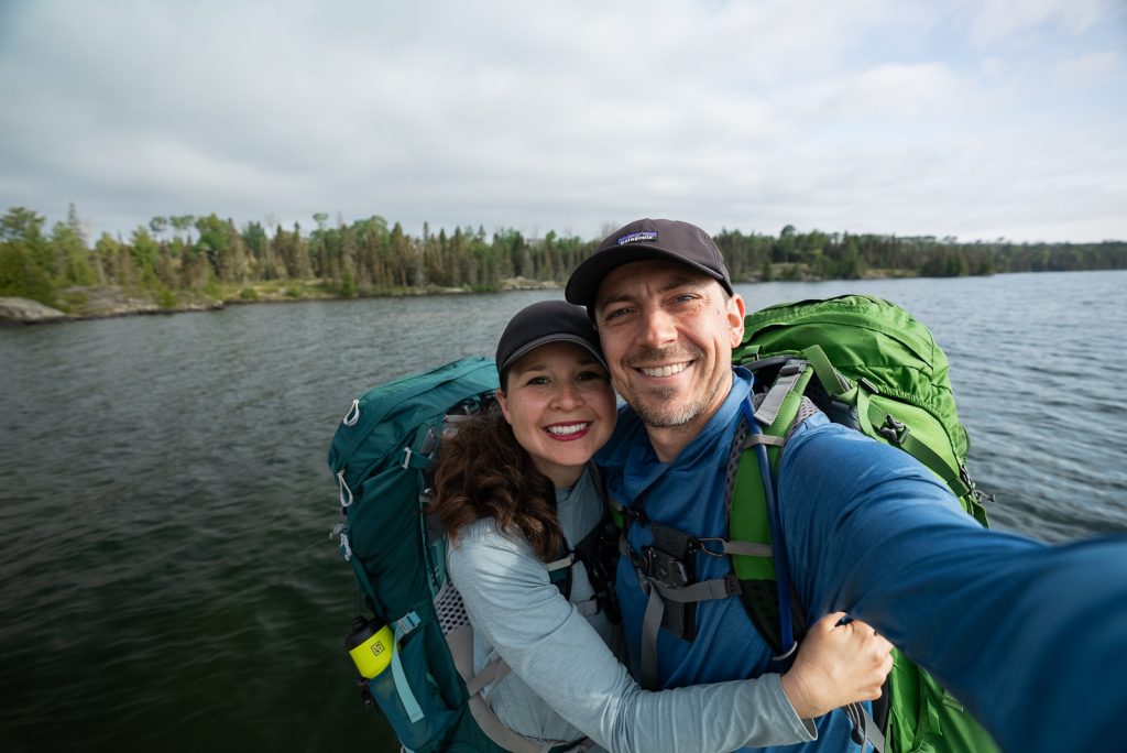
We spent 7 days backpacking 51 miles across Isle Royale, from Windigo to Rock Harbor. And what an adventure! We hiked through dense forests, walked along the rocky shoreline, camped beside inland lakes, and experienced some of the island’s top sights.
And while we loved spending a week exploring the island on foot, you don’t have to commit to a multi-day backpacking trip to experience Isle Royale! There are plenty of day hikes to choose from, some accessible on a day trip by ferry or seaplane and others requiring an overnight stay on the island. But all of these hikes can be done with just a day pack!
In this guide, we’re sharing the best day hikes on Isle Royale National Park, along with helpful logistics to plan your trip, including which hikes you can fit into a day trip, things to know before you go, what to pack, and more!
Looking for more Isle Royale National Park resources?
- 10 Incredible Things to Do at Isle Royale National Park
- How to go backpacking at Isle Royale National Park
- Camping at Isle Royale National Park: Everything to know!
- How to Get to Isle Royale National Park: Ferries, Seaplane & Logistics Guide!
- Watch our YouTube backpacking across Isle Royale National Park
The Best day hikes at Isle Royale
To help you plan your time on the island, we’ve broken this list down by region: Rock Harbor on the east side and Windigo on the west side. Within each section, hikes are ordered from shortest to longest distance. Keep in mind that some of these starting points require a water taxi or additional trail mileage to reach!
Rock Harbor Day Hikes (East Side)
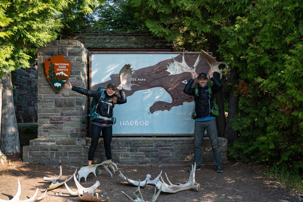
Rock Harbor is the port on the east side of the island. It features a visitor center, lodge, restaurant, marina, and access to some of the most scenic coastal and ridge trails on Isle Royale.
1. Lookout Louise
Distance (round trip): 2 miles
Elevation gain: 262 feet
Difficulty: Moderate
Can it be done on a day trip? It would be very tight given the tour or water taxi schedule required to get to the trailhead. It’s best for overnight visitors unless water taxi times align perfectly with your ferry.
Trail Map & Current Conditions
To reach the Lookout Louise trailhead, you’ll first need to cross Tobin Harbor from Rock Harbor to Hidden Lake Dock. You can get there by water taxi, the MV Sandy tour boat, or your own private boat.
From the dock, the trail winds past Hidden Lake (where moose are frequently spotted!), before passing Monument Rock, a 60-foot natural rock pillar. The trail then climbs up to the Greenstone Ridge, ending at Lookout Louise.
The views from Lookout Louise are some of the best on the east end of the island! You’ll get gorgeous views across Tobin Harbor, Duncan Bay, and Five Finger Bay. Plus, on a clear day, you can see all the way to the Canadian shoreline, with views of Thunder Mountain on the Sibley Peninsula.
2. Mount Ojibway Tower
Distance (round trip): 3.6 miles round trip from Daisy Farm (or 5.1 miles from Rock Harbor)
Elevation gain: 770 feet
Difficulty: Moderate
Can it be done on a day trip? Yes, but only for those taking the seaplane. If you take the ferry, you’d really be pushing it, as you’d need to take a water taxi from Rock Harbor over to Daisy Farm. Otherwise, it is best suited for anyone camping overnight at Daisy Farm or Three Mile Campground.
Trail Map & Current Conditions
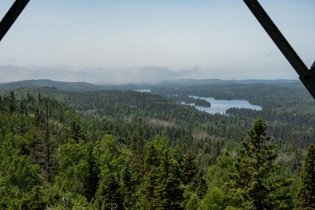
Sitting at roughly 1,133 feet above sea level along the Greenstone Ridge, Mount Ojibway Tower is another worthwhile stop if you’re exploring the Rock Harbor side of the island! It also happens to be the highest point on the island’s eastern end.
The old fire tower here now houses environmental and radio monitoring equipment. While you can’t go into the enclosed room at the very top, you can still walk up the open metal stairs to an upper platform. From up here, you get views stretching across miles of endless green forest, inland lakes, and Lake Superior, with views all the way out to Canada on a clear day!
The easiest way to get here is from Daisy Farm Campground via a 3.6-mile round trip hike up the Mount Ojibway Trail. If you’re staying at Three Mile Campground or hiking out from Rock Harbor, we highly recommend turning it into a loop by hitting Mount Franklin on the Greenstone Ridge Trail on your way over! You can alternatively take a water taxi to and/or from Daisy Farm to cut out some distance.
3. Suzy’s Cave
Distance (round trip): 4 miles
Elevation gain: 216 feet
Difficulty: Moderate
Can it be done on a day trip? Yes! Since this trail starts right near the Rock Harbor Visitor Center and lodge, it is one of the easiest and most accessible day hikes on the east end of the island.
Trail Map & Current Conditions
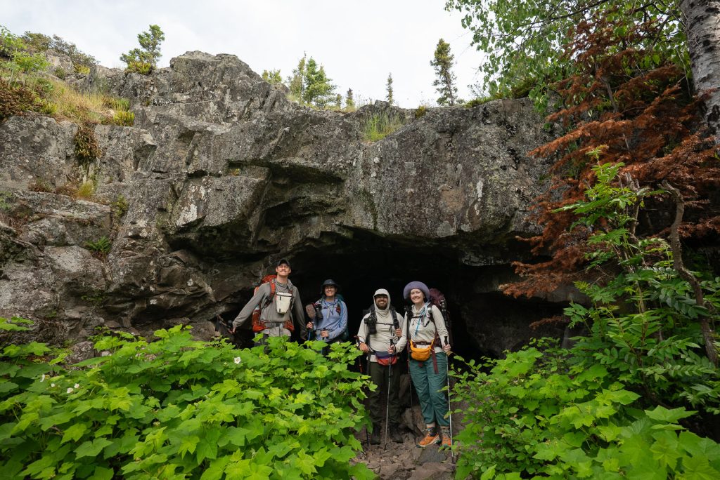
Suzy’s Cave makes a fantastic day hike out of Rock Harbor! You can hike out along the rocky shoreline via the Rock Harbor Trail and return inland along the Tobin Harbor Trail to turn it into a loop.
The main highlight is Suzy’s Cave, a small inland sea arch you can walk through and explore. It was carved by Lake Superior’s waves roughly 4,000 years ago, when water levels were much higher!
4. Scoville Point (Stoll Memorial Trail)
Distance (round trip): 4.7 miles
Elevation gain: 177 feet
Difficulty: Moderate
Can it be done on a day trip? Yes! The trail starts in Rock Harbor, just past the Recreation Hall and Rock Harbor Lodge’s Ojibway building. If you’re visiting by ferry or seaplane for the day, check your return schedule before setting out on the full hike.
Trail Map & Current Conditions
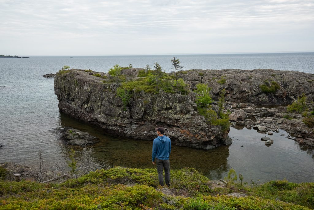
If you only have time for one day hike on the east end of the island, make it Scoville Point! In our opinion, this hike boasts the absolute best coastal scenery in the entire park.
The trail forms a figure-eight loop out along a rocky point extending into Lake Superior. What makes this route so unique is getting to experience two totally different landscapes in one hike! The Tobin Harbor side follows a shaded path through thick boreal forest, while the Rock Harbor side hugs exposed rock ledges with gorgeous views across Lake Superior.
Both paths converge for the final half-mile, taking you up the rocky face of the point. Along the trail, interpretive plaques share the story of Albert Stoll Jr., a Detroit newspaperman whose efforts helped protect Isle Royale as a national park.
5. Daisy Farm (from Three Mile Campground)
Distance (round trip): 8.3 miles
Elevation gain: 134 feet
Difficulty: Moderate
Can it be done on a day trip? No. You will need to reach Three Mile Campground first, either by hiking in or taking a water taxi.
Trail Map & Current Conditions
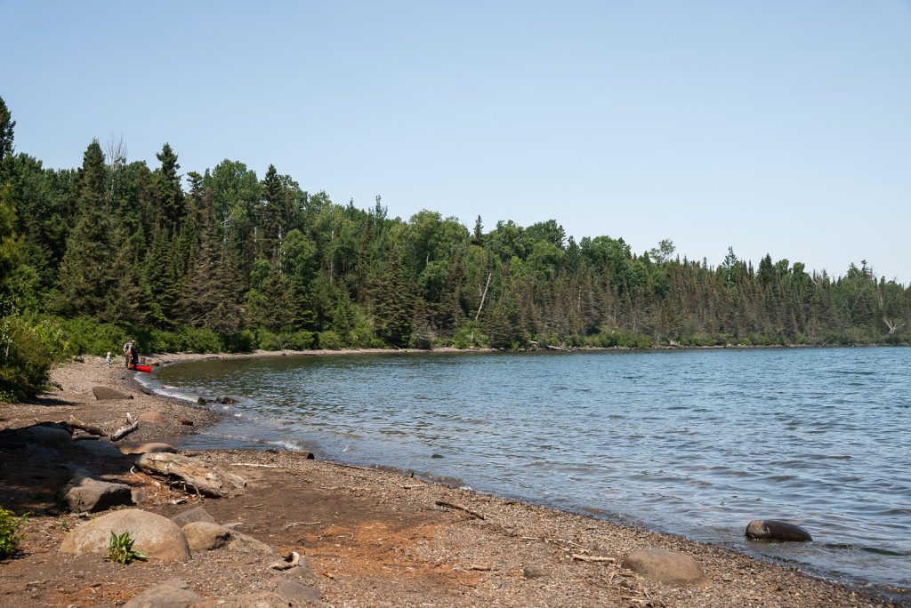
If you’re camping at Three Mile Campground during your time on the island, this makes for a fantastic day hike! Instead of hauling heavy backpacking packs further down the trail, you can leave your gear set up at Three Mile and carry a light daypack along the Rock Harbor Trail out to Daisy Farm (one of the largest campgrounds on the island). If you don’t want to backpack, you can also hire a water taxi to shuttle you and your camping gear to Three Mile to set up camp!
On this hike, you’ll get to see the island’s rugged shoreline, walk over wooden boardwalks, and hang out at the beach and docks at Daisy Farm. The trail hugs the shoreline of the Rock Harbor Channel almost the entire way with glimpses of nearby islands, including Mott Island. You’ll also pass the historic Siskowit Mine site and catch views of the Rock Harbor Lighthouse and Edisen Fishery across the harbor.
6. Mount Franklin
Distance (round trip): 9.8 miles
Elevation gain: 708 feet
Difficulty: Moderate
Can it be done on a day trip? No. This is a bit too long for visitors on a short day trip window, but it makes an incredible full-day hike if you are staying overnight at Rock Harbor or camping nearby!
Trail Map & Current Conditions
Located along the Greenstone Ridge, Mount Franklin is one of the most iconic overlooks and highest points on the east end of the island! Named after Benjamin Franklin, this high ridge point offers views of Five Finger Bay, the vast Isle Royale wilderness, Lake Superior, and even Canada’s Sleeping Giant on the Sibley Peninsula on a clear day.
Starting from Rock Harbor, you can follow the Tobin Harbor Trail through boreal forest before reaching the Mount Franklin Trail junction. From there, the route climbs more steeply toward the ridge and the rocky overlook.
If you want to turn this into an even bigger adventure, you can continue along the Greenstone Ridge Trail toward Mount Ojibway for another scenic overlook before returning toward Rock Harbor. Just keep in mind that adding Mount Ojibway will make an already long day of hiking even longer!
Windigo Day Hikes (West Side)
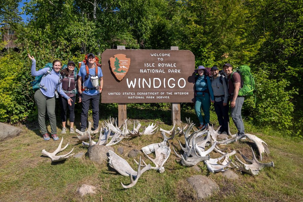
Windigo is located on the island’s southwest end. It is the main entry port for visitors arriving by ferry from Minnesota. And is quieter and more heavily forested than Rock Harbor!
7. Windigo Nature Trail
Distance (round trip): 1.2 miles
Elevation gain: 118 feet
Difficulty: Easy
Can it be done on a day trip? Yes! Since this trail starts up the hill behind the Windigo Visitor Center, it is super easy to squeeze in if you have time before your boat or seaplane departs.
Trail Map & Current Conditions
If you’re looking for an easy, quick stroll by the Windigo Visitor Center, this loop is your best option on the western side of the island. The trail winds through a variety of forest environments, including fern-filled cedar lowlands and hardwood forests of maple and birch.
You can grab an interpretive brochure at the Visitor Center to follow along with the stops and learn about the local plant life. During our visit, the trail had gotten pretty overgrown, so a lot of the numbered posts are hidden in the brush. The trail also passes through a moose exclosure, an area fenced to help demonstrate how moose browsing affects forest vegetation.
It’s definitely not the most exciting hike on the island since the trail is in dense trees without any water views. Plus it can get quite buggy! But since it’s the easiest option in Windigo, we wanted to include it anyway!
8. Grace Creek Overlook
Distance (round trip): 3.5 miles
Elevation gain: 311 feet
Difficulty: Moderate
Can it be done on a day trip? Yes!
Trail Map & Current Conditions
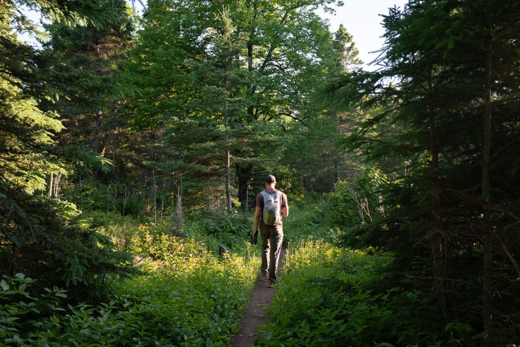
Grace Creek Overlook is one of the best short hikes in Windigo! The trail follows a portion of the Feldtmann Ridge Trail, plus the scenic shoreline of Washington Bay before climbing through aspen, birch, and evergreen forests.
From the overlook, you get awesome views of the Grace Creek Valley, Grace Harbor, and Lake Superior. The marshy creek valley below is also a great place to look for moose!
9. Minong Ridge Overlook
Distance (round trip): 6.0 miles (hiking 3 miles out and back along the Minong Ridge Trail)
Elevation gain: 450 feet
Difficulty: Moderate
Can it be done on a day trip? Yes, but it will take up most of your day on the island.
Trail Map & Current Conditions
The Minong Ridge Trail is famous among backpackers for being the most rugged, steep, and challenging trail on the entire island. But you don’t have to tackle the whole multi-day route to experience it! Instead, you can hike 3 miles out from Windigo to the first major ridge overlook.
The trail starts by winding through hardwood maple forests, crossing small creeks, and passing through prime moose habitat. As you climb up toward the ridge, the trees give way to stretches of exposed bedrock.
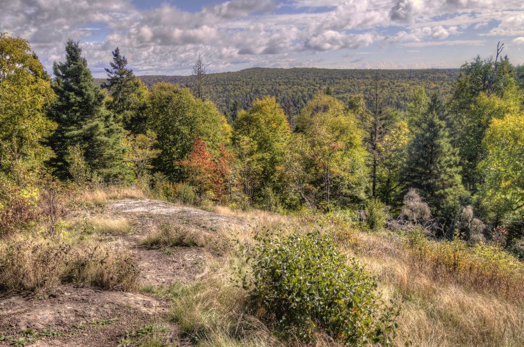
Once you reach the overlook, you’re treated to incredible views across Isle Royale’s western wilderness, Lake Superior, and the Canadian shoreline off in the distance to the north. It’s easily one of the best views on the west side of the island.
10. East Huginnin Cove Loop
Distance (round trip): 9.2 miles
Elevation gain: 853 feet
Difficulty: Moderate
Can it be done on a day trip? No, you will need to camp or stay in a cabin at Windigo.
Trail Map & Current Conditions
If you’re staying overnight at Windigo, the Huginnin Cove Loop is an amazing day hike! The trail takes you through thick woods, over the Minong Ridge, and passes old exploration sites from the historic Wendigo Mine.
Once you reach the northern shore, the trail opens up to Huginnin Cove, a secluded spot on Lake Superior featuring dark pebble beaches, sea stacks, and primitive campsites on the water.
Keep in mind that the terrain here is fairly tough, with constant rocks, roots, dozens of wooden boardwalks, and overgrown stretches. Hiking clockwise is the best way to go so you can tackle the trickiest sections while your legs are fresh!
Looking for more things to do on Isle Royale or planning a longer stay on the island? Check out our complete guide to the Best Things to Do on Isle Royale. Plus our dedicated guides to Backpacking Isle Royale and Camping on Isle Royale for full route details, campground tips, and logistics!
You can also watch our entire adventure on YouTube as we take a seaplane to the island and spend 7 days backpacking across Isle Royale National Park with some of our best friends!
Things to Know Before Hiking on Isle Royale
Plan your transportation far in advance
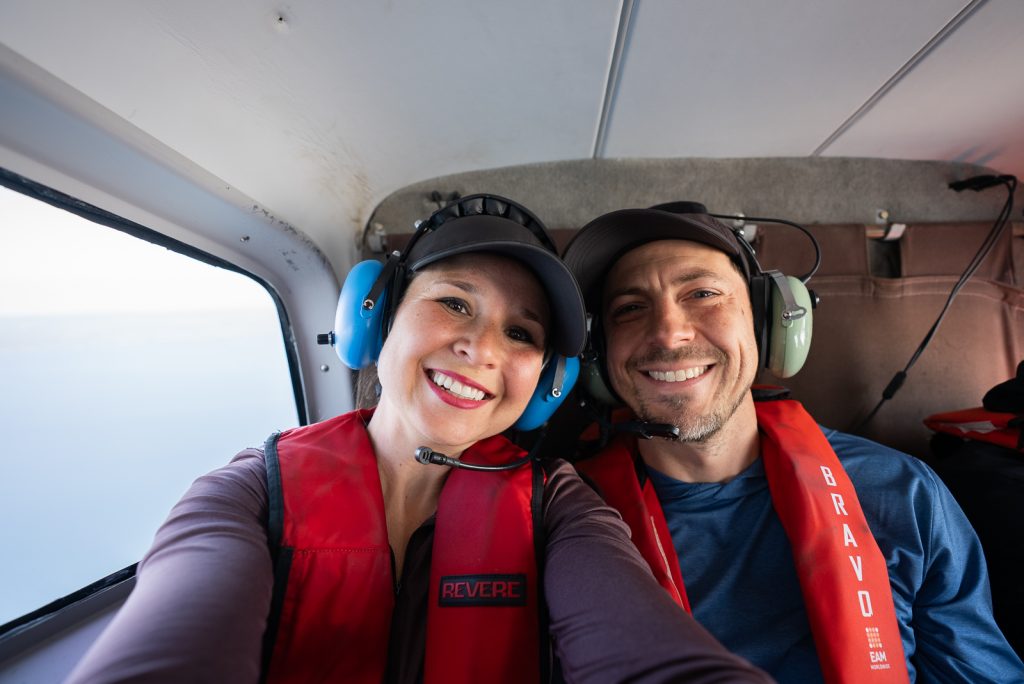
Ferry and seaplane reservations can book up months in advance, especially during the busy summer season, so it’s best to plan ahead! If you are still figuring out the best route, check out our guide on how to get to Isle Royale.
Book water taxis ahead of time
If your hike requires a water taxi (like getting to Hidden Lake for Lookout Louise or getting shuttled over to Daisy Farm), know that they run on tight schedules with limited space, so book it way in advance!
Understand the time zones
Isle Royale is in Michigan and operates on Eastern Time (ET). If you are taking a ferry from Grand Portage, Minnesota (which is Central Time), double-check your arrival and departure times so you don’t miss your boat!
Park entrance fee
Isle Royale charges a $7 daily fee per person for each calendar day on the island for visitors 16 and older (kids 15 and under are free). You can pay ahead of time online at Pay.gov. If you have an America the Beautiful Pass, it covers your entry! Just make sure to bring your physical pass or printed payment receipt. NPS staff must verify it on arrival and cannot look up forgotten passes. If you don’t have it on hand, you’ll have to pay the daily fee again. Also, note that the park is cashless for entrance fees.
Be alert for wildlife
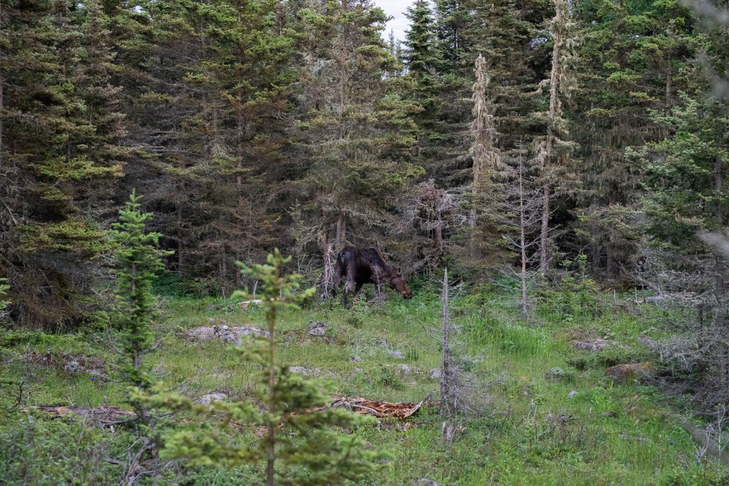
Even though there are no bears on the island, Isle Royale is home to tons of wildlife including moose, wolves, and foxes! Moose are frequently seen on trails. Always stay at least 25 yards (75 feet) away, or further if it’s a cow with a calf or during the fall rut, when they can be more aggressive.
While wolf sightings are less common, wolves have been known to get into human food on the island. You are required to store your food properly and follow Leave No Trace practices. Pack out EVERYTHING from your hike. Apple cores, banana peels, and wrappers can teach wildlife to look for food from people.
Utilize bag storage
If you want to hit a day hike without lugging all of your gear, you are in luck! Both Rock Harbor and Windigo offer designated bag storage areas. These are secure, fenced-in cages where you can stash your backpack while you head out to explore. This is especially nice on the day you leave the island after packing up camp!
Dogs are NOT allowed
Pets are prohibited on Isle Royale and aboard vessels in the surrounding waters within park boundaries. This rule is enforced to protect native wildlife and prevent the spread of diseases (like canine parvovirus) to the island’s wolf population.
What to Pack for Hiking on Isle Royale
While you should always carry the 10 essentials, here are a few specific items you definitely want to pack for hiking Isle Royale:
Good Hiking Shoes
The terrain on Isle Royale is rocky, rooty, full of uneven bedrock and slick wooden boardwalks. Sturdy shoes with good grip are a must! Kathryn wears either Lowa Women’s Renegade GTX boots or ALTRA Lone Peak 8 trail runners. And Adam wears ALTRA Lone Peak trail runners!
Day pack
If you’re doing these Isle Royale day hikes as part of a camping or backpacking trip, make sure to bring a packable day pack. This will allow you to leave most gear (and your larger pack) at camp. We brought this ultralight Sea to Summit day pack, which packed down very small and light.
Plenty of water + a water filter
Even on shorter hikes, carry plenty of water. We carry a combination of a 3L CamelBak, a Katadyn Water Filter Bottle, and a Sawyer water filter as a backup.
Versatile layers + rain gear
Lake Superior creates its own weather patterns. You might start your morning in a chilly, damp coastal fog along the harbor and end up sweating under bright sun on top of an exposed ridge by noon. Dress in lightweight, moisture-wicking synthetic or merino wool layers. And always keep a windproof, waterproof rain jacket in your daypack. Adam wears this rain jacket and Kathryn has this rain jacket!
Bug spray + a head net
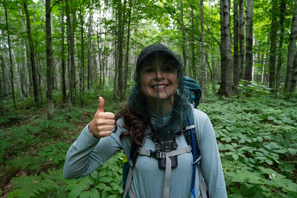
Mosquitoes and black flies are terrible on the island, particularly early in the summer and along heavily wooded trails. Bring a strong bug spray containing DEET or Picaridin, and consider packing a lightweight bug net for your head if you are visiting during peak bug season in June or July. It will help your sanity!
Swimsuit
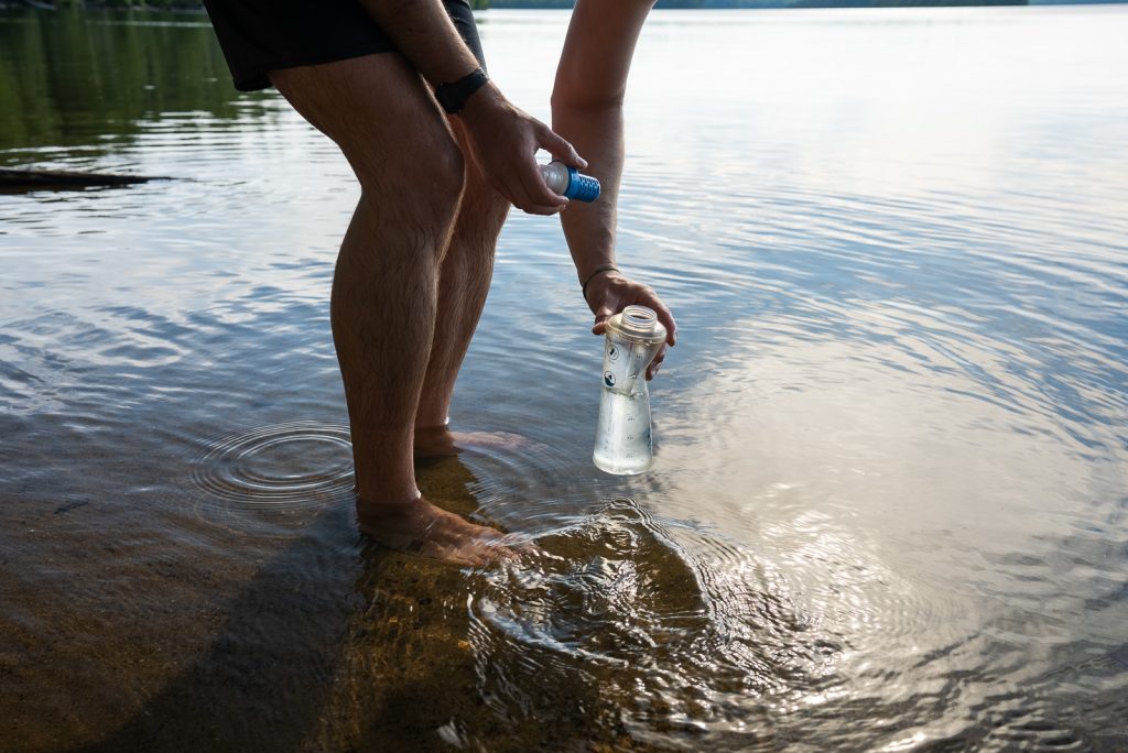
After a long hike, nothing beats a plunge into Lake Superior! Just keep in mind, the water is icy year-round (often hovering in the 40s to low 50s). Pack a lightweight swimsuit or quick-dry activewear so you can take a dip at places like Huginnin Cove or Daisy Farm!
Pack seasickness medication
Lake Superior is essentially an inland sea, and waters can kick up rough waves without warning. If you’re prone to motion sickness, take medicine like Dramamine or Bonine before boarding your ferry, or use a prescription patch (like Transderm Scop).
Download AllTrails offline maps
Cell service on Isle Royale is extremely limited. So make sure to download your trail maps, offline GPS routes, and elevation profiles to your phone before boarding your ferry or seaplane.
Want to save 30% on an AllTrails Plus membership? Use our code aplusk30 (redeem it on their website, not in the app!). We use AllTrails Plus on every single hike for offline maps, wrong-turn alerts, and 3D trail previews!
The Greenstone Newspaper
Save a digital copy of The Greenstone newspaper to your phone before you board the ferry or plane, or pick up a printed copy at the visitor center! It’s the official park guide which gives you details of every campground, exact trail miles between junctions, how many shelters each site has, and where to find water. We utilized this guide every day on our trip!
Save this guide with the best hikes at ISle Royale
About the Author
This blog post was written by our writer Nicoll. Learn a bit about her below!
After six years of full-time travel, Nicoll is now a mountain-loving mama living in Colorado with her husband Jake, their sweet baby girl Teagan, and their pup Gunner. She loves hiking, riding her dirt bike, and finding joy in the little things.