Last updated on July 23rd, 2025
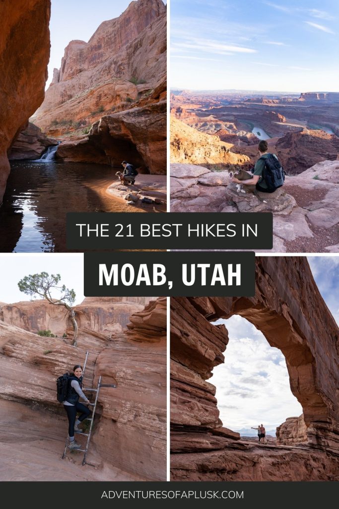
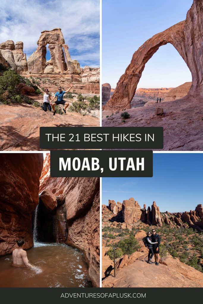
Want to experience the best hikes in Moab? We are sharing 21 of our favorites, from our multiple visits to the area!
Moab is a hiker’s paradise! Here you can wander among sandstone arches, hike through a canyon to reach a hidden waterfall, climb up ladders and other fun features, and go for a dip in a chilly creek on a warm day.
Whether you choose a hike in one of the two national parks or choose something a bit more off the beaten path (and dog friendly!), there is no shortage of amazing hikes in Moab. And the best part? There is something for all skills and athletic abilities!
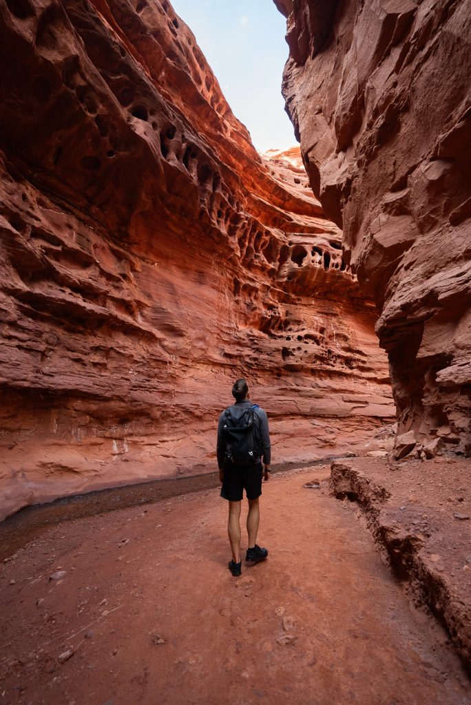

We have visited Moab a handful of times now and have been lucky enough to experience many of Moab’s trails. And in this guide we’re sharing 21 of the best hikes in Moab, along with their trail stats, plus helpful tips and things to know before you go.
Now the tough part: which will you choose first?

Map of the Best Hikes in Moab
Before embarking on your adventure, please review the Leave No Trace principles to ensure you leave every place better than you found it, so that others can enjoy these beautiful places for many years to come!
These seven principles include planning ahead and preparing, hiking and camping on durable surfaces, disposing of waste properly (pack out what you pack in!), understanding campfire rules and always fully extinguishing your fires, respecting wildlife, and being considerate of other visitors.
The Best Hikes in Moab at Arches National Park
Arches National Park is quite possibly the most iconic spot in all of Moab. And for good reason, it’s pretty spectacular! There are so many wonderful things to do in Arches National Park, including hiking to a handful of its 2,000 arches.
Below are some of the best hikes in Moab that are located in Arches National Park, listed by difficulty. While there are even more amazing hikes in Arches National Park, these are our personal favorites and the ones we think you should prioritize.
1. Double Arch Trail


Miles (round trip): 0.6
Elevation Gain: 95 feet
Difficulty: Easy
Dog friendly? No
Trail Map & Current Conditions
We couldn’t resist starting off the list of the best hikes in Moab with the trail that leads you to one of our favorite arches in Moab: Double Arch. As the name implies, Double Arch includes two arches in one. A nice little bonus if you ask us!
This arch was formed from downward water erosion, as opposed to side-to-side water erosion, which gives it a different look than some of the other arches in the park.
The trail itself is incredibly short and easy, which makes it a must-do hike while in Moab!
A+K Tip: For the best experience, head there for sunset. The arches glow as the sun lowers onto the horizon, which is pretty magical!
2. Windows and Turret Arch Trail

Miles (round trip): 1.2
Elevation Gain: 154 feet
Difficulty: Easy
Dog friendly? No
Trail Map & Current Conditions
Another one of the best hikes in Moab, within Arches National Park, is the Windows and Turret Arch Trail. This loop trail is a quick 1.2 miles and should only take you about 30 minutes to complete, even with some stops to take photos of the arches.
Along this trail you’ll get to see 3 arches, the North Window Arch, South Windows Arch, and Turret Arch. With such little mileage and 3 arches to spot, it’s a great bang for your buck!
A+K Tip: The hike starts at the same trailhead as Double Arch Trail, so we highly recommend hiking both back-to-back.
3. Park Avenue Trail

Miles (round trip): 1.8
Elevation Gain: 298 feet
Difficulty: Easy
Dog friendly? No
Trail Map & Current Conditions
Sick of seeing arches? Head to the Park Avenue Trail! While you’re likely coming to Arches to see the…well, arches of course, it’s nice to get a variety of scenery while you’re here and Park Avenue provides just that.
At just under 2 miles, Park Avenue Trail is one of the best hikes in Moab for its views of red rock fins and towers. And it’s named Park Avenue Trail for a reason, it looks like you’re walking down Park Avenue in New York City, but instead of skyscraper buildings you’ll see skyscraper cliffs.
A+K Tip: Short on time? Head to the Park Avenue Viewpoint instead! While we personally think the hike is worth it, this viewpoint gives you a glance at Park Avenue’s iconic view.
4. Sand Dune Arch, Broken Arch, Tapestry Arch Loop

Miles (round trip): 2.8
Elevation Gain: 321 feet
Difficulty: Moderate
Dog friendly? No
Trail Map & Current Conditions
Another hike that gives you a great bang for your buck is the Sand Dune Arch, Broken Arch, Tapestry Arch Loop. Here you can see three arches (one of which is hidden down a canyon!), all without much elevation gain.
While this trail is listed as Moderate on AllTrails, it is a pretty easy trail for most skill levels. The only difficult part is having to climb up into Broken Arch to continue onto the trail. You also will have to hike in sand at some points, which is a bit more difficult. But we still think the trail is doable for most hikers!
Another important thing to note is that this trail can be a little difficult to follow at points. Which is why we highly recommend getting a membership to AllTrails+ and downloading the map in advance.
Want to get 30% off an AllTrails Plus membership? Use our code aplusk30 (you must redeem this code on the website, not the app)!
We use AllTrails Plus on every single hike and it is the most helpful hiking tool out there! Some of the features we love are offline maps (so we can navigate even without cell service), wrong-turn alerts, and its 3D maps feature, so we can get a feel for trails before we hike.
5. Delicate Arch Trail

Miles (round trip): 3.2
Elevation Gain: 629 feet
Difficulty: Moderate
Dog friendly? No
Trail Map & Current Conditions
Delicate Arch is without a doubt the most famous arch in the entire state (it’s even on the license plate)! So no list of best hikes in Moab is complete without it! And while some popular places can be a bit overhyped, Delicate Arch truly is spectacular in person.
The Delicate Arch Trail does have a bit more elevation gain as you climb up different sandstone rocks. Towards the end of the hike there is a more narrow section along a ledge that you have to hike across, but as someone who doesn’t like ledges, I didn’t find it to be too scary, even more sunrise.
But if you’re concerned that this trail is too strenuous for you, you’ll be happy to know there is an alternative. You can hike to the Delicate Arch Viewpoint Trail instead. This is a short and easy 1 mile hike, but it’s important to note, you won’t be able to get up close to the arch like you see in photos, instead you’ll be viewing it from a distance.
A+K Tip: Hike this trail for sunrise! While you won’t be alone (this trail ALWAYS has people), you will encounter way less people. Plus, seeing the sun illuminate the arch is the perfect way to start a day in Arches National Park! And once you’re done, make sure to climb up to Twisted Donut Arch (along the hike back to the trailhead) to see a view of Delicate Arch through its hole!
6. Devil’s Garden Loop Trail

Miles (round trip): 7.9
Elevation Gain: 1,085 feet
Difficulty: Hard
Dog friendly? No
Trail Map & Current Conditions
Easily our favorite hike in Arches National Park is the Devil’s Garden Loop Trail. It’s also one of the hardest out of this list of best hikes in Moab. But it’s definitely worth all of the hard work!
Along the hike you’ll get to stop at SEVEN different arches, walk along a spine, and get sweeping views of the park, Moab and the surrounding mountains. This trail truly has it all!
To experience the entire trail you will have to hike along a primitive trail (AllTrails+ is a good investment for this!). This section requires you to use your hands at points, and might also require you to get wet (depending on how much it’s rained).
Read more about what to expect along trail in our post about the best hikes in Arches!
7. Fiery Furnace Trail
Miles (round trip): 2.1 (but this can vary depending on if you get lost)
Elevation Gain: 492 feet
Difficulty: Moderate
Dog friendly? No
Trail Map & Current Conditions
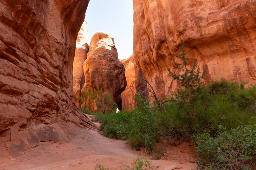
If you’re looking for the most unique hikes in Moab, look no further than the Fiery Furnace Trail. It’s almost hard to classify this as a trail, since there’s no real route to follow. We can best describe the Fiery Furnace as a real-life escape room, once you go in, you have to find your way out!
Full of dead ends, climbing and weaving through the narrow sandstone walls, the Fiery Furnace is quite the experience. It can be SO much fun if you are up for the challenge, so come in with a good attitude and ready to solve the puzzle.
If this hike is something that you want to take on, be sure to plan accordingly, because reservations are required! You can either book a ranger-guided tour, or do it yourself with a self-guided permit. The self-guided permits are only $10 per group, but they sell out super quick, so be sure to log on 1 week in advance to snag your spot!
The Best Hikes in Moab at Canyonlands National Park
While Arches National Park might get more spotlight for the best things to do in Moab, Canyonlands National Park is just as beautiful and has some incredible options for hikes in Moab.
And an added bonus is that since the park sees almost half the amount of visitors as Arches, you’ll get more of these trails to yourself!
Keep in mind there are two different districts within Canyonlands. Island in the Sky is the more popular section to visit and is closer to Moab. The Needles district is even more beautiful (in our opinion), but it’s more of a journey to get to, so therefore it is less visited.
We are mostly including trails in the Island in the Sky district, but we are sharing a couple that we loved in the Needles district at the bottom.
8. Mesa Arch

Miles (round trip): 0.7
Elevation Gain: 88 feet
Difficulty: Easy
Dog friendly? No
Trail Map & Current Conditions
Okay I know you’re probably thinking “wait I thought we were done with arches?!” but Canyonlands has over 80 natural arches as well! And by far the most famous one is Mesa Arch.
Head out on the Mesa Arch trail for a super quick 0.7 mile loop. The arch is not nearly as big as some of the ones you’ll see on the hikes in Arches, but it frames the canyons behind it perfectly. And if you come for sunrise on a clear day, the sun flares and backdrop make for an amazing photo!
A+K Tip: Sunrise is a VERY popular time to come here. We highly recommend it, but make sure to arrive early to get parking and get a spot to watch the sunrise. There will likely be rows of people with tripods, trying to snag the iconic sun flare shot.
9. Upheaval Dome
Miles (round trip): 1.3
Elevation Gain: 226 feet
Difficulty: Moderate
Dog friendly? No
Trail Map & Current Conditions
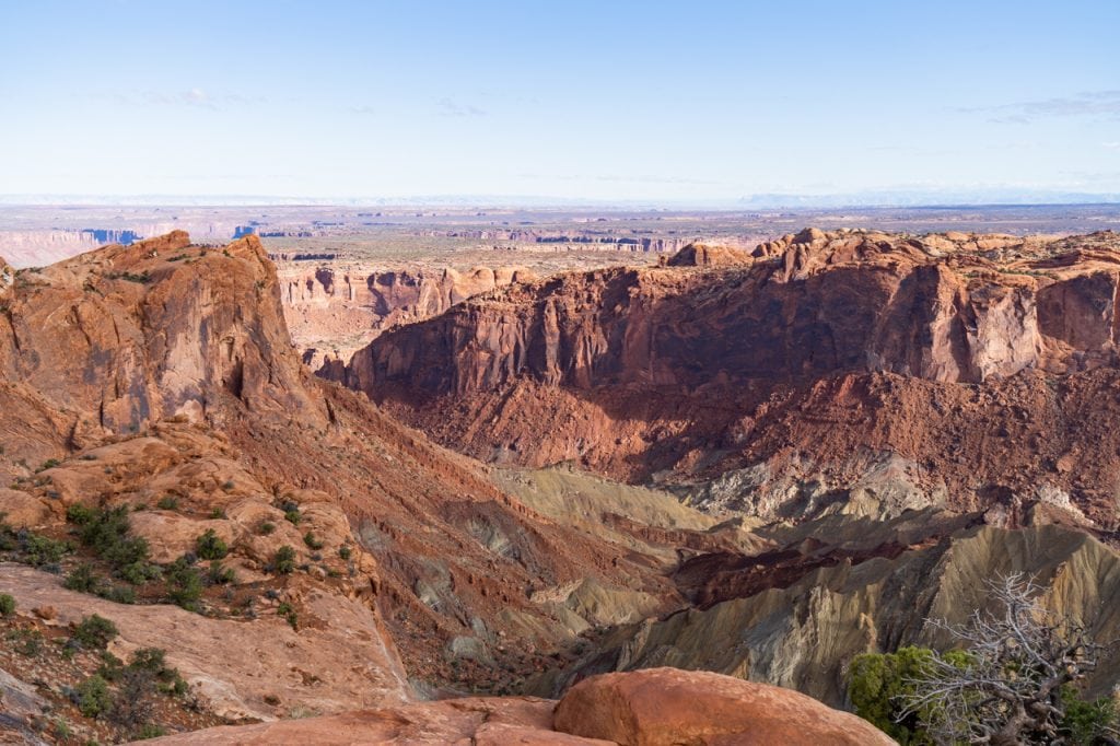
Almost all of Canyonlands National Park was formed from gradual erosion over a really long time, but Upheaval Dome was formed from a sudden event. However, even researchers aren’t even sure how it formed! The two most popular theories are that it is a salt dome that was pushed up by the weight of thousands of feet of overlying rocks or a meteorite crashed. The meteorite theory is more widely accepted, as the rocks present show signs of pressure that could’ve only been possible from high impact.
But regardless of the true origin, it is a very cool spot that is unlike anything else in the park!
10. Grand View Point Trail

Miles (round trip): 1.8
Elevation Gain: 164 feet
Difficulty: Easy
Dog friendly? No
Trail Map & Current Conditions
If you’re looking for any easy hike in Moab, check out the Grand View Point Trail! This trail is under 2 miles and doesn’t have much elevation gain, which makes this a great hike for almost everyone.
The best part? The trail leads you straight to dramatic views over the parks and the canyons below. Plus, you can see the Needles District and the La Sal Mountains off in the distance. We absolutely loved this hike!
A+K Tip: Heads up, parking here can be tough. So if the lot is full, plan to park at the Orange Cliffs Overlook and walk to Grand View Point.
11. White Rim Overlook Trail

Miles (round trip): 1.8
Elevation Gain: 160 feet
Difficulty: Easy
Dog friendly? No
Trail Map & Current Conditions
Another short and sweet hiking option in Island in the Sky is the White Rim Overlook Trail. From the top of the overlook, you’ll get sweeping views of the Colorado River, Monument Basin, and La Sal Mountains.
This trail might be close to the previously mentioned Grand View Point Trail, but offers different views, so it is absolutely worth doing both.
12. Cave Spring Trail (Needles District)

Miles (round trip): 0.6
Elevation Gain: 59 feet
Difficulty: Easy
Dog friendly? No
Trail Map & Current Conditions
For our first hike in the Needles District of Canyonlands National Park we have the Cave Spring Trail. It may be short, but it packs a big punch with artifacts, history, and fun features!
Back in the late 1800s, this area was home to cattle operations and cowboys would camp in small caves. And along this super short and easy hike you’ll get to see the cowboy camps, old artifacts, and petroglyphs and markings left behind by Native Americans.
Although it is short and easy, there is a section with two ladders to climb. If you’re unable to climb these, don’t worry! You can just go back the same way you came.
13. Druid Arch to Chesler Park Trail (Needles District)


Miles (round trip): 11.3
Elevation Gain: 2,116 feet
Difficulty: Hard
Dog friendly? No
Trail Map & Current Conditions
By far our top recommendation for things to do in the Needles District is the Druid Arch to Chesler Park Trail. It’s long and there is quite a bit of elevation gain, but you’ll get to see so much of the amazing scenery that makes the Needles District so special.
At this point you’ve probably seen a lot of arches while hiking the best hikes in Moab, but Druid Arch is different from the rest, as it’s almost rectangular in shape. After seeing the arch, you can then hike into Chesler Park, where you get to see the “needles” that this part of the park is named after.
Not only is the scenery here unlike anything in Arches or Island in the Sky, but the crowds are a lot lower. So it’s a win win!
Looking for something shorter? There is an option to do just the Druid Arch Trail (9.7 miles, 1,447 feet), but it’s not that much shorter and you’ll miss out on seeing the needles! Or, you can skip the Druid Arch and just hike the out-and-back section to the Chesler Park Viewpoint (5.4 miles, 1,151 feet), which is quite a bit shorter, but still fairly steep.
The Best Hikes in Moab Outside of the National Parks
Many people venture to Moab to visit the national parks. And we get it, they are pretty amazing! But basically all of Moab is full of national park level scenery. And in our opinion, some of the BEST hikes in Moab are outside of the national parks! Especially if you have a dog, since the trails outside of the parks are all dog friendly.
14. Mill Creek Trail
Miles (round trip): 1.6
Elevation Gain: 59 feet
Difficulty: Moderate, mostly due to the water crossings.
Dog friendly? Yes!
Trail Map & Current Conditions
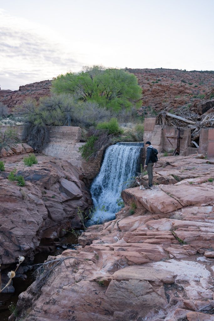
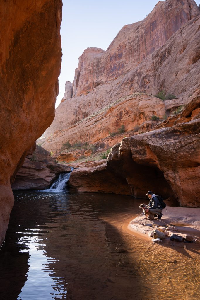
The Mill Creek Trail is one of the best hikes in Moab if you need to cool off. This trail takes you by two waterfalls (one is man made from a dam), as well as by a creek, making it an amazing spot to go for a dip on a hot day!
However, despite its short distance, it’s not quite as easy as it looks. You will have to scale a narrow, slick sandstone wall (or opt to walk in water next to it), as well as cross a creek multiple times. It is very likely your feet will get wet, depending on water levels! But the waterfall at the end, which is tucked into a canyon, is picture perfect.
A+K Tip: Hike this one early! The parking lot (NO RVs allowed) can fill up quickly and this trail can get PACKED! Also, please do not jump off the rocks. We met a Moab trail ambassador who told us that multiple people had to get medical help just days before we hiked the trail.
15. Corona and Bowtie Arch Trail


Miles (round trip): 2.3
Elevation Gain: 462 feet
Difficulty: Moderate
Dog friendly? Yes! (But they may have a hard time in some spots)
Trail Map & Current Conditions
Delicate Arch may get most of the arch love in Moab, but don’t sleep on Corona Arch! Don’t tell the others, but it may just be our favorite. 😉In fact, we’ve hiked it twice!
This 105 foot tall arch is actually larger than Delicate Arch and incorporates quite a few fun features along the trail, like crossing a railroad track, climbing ladders, and walking up a steep section of sandstone. Plus, you can walk under the arch!
The hike itself is pretty short, but it is mostly uphill and with the ladders and steep sandstone, could be difficult for some (including some dogs).
Besides Corona Arch, along the way you’ll get to see Bowtie Arch, and if you want to add an extra mile to the trail, you can see the Pinto Arch as well. (We think it’s worth it!)
A+K Tip: Hike Corona Arch for sunrise! Even though this trail is becoming a lot more popular, you will likely only encounter a handful of people early in the morning. Plus, the morning light is so stunning on the arch and surrounding canyons!
16. Fisher Towers Trail

Miles (round trip): 4.2
Elevation Gain: 1,469 feet
Difficulty: Hard
Dog friendly? Yes! (But they may have difficulty with the ladders)
Trail Map & Current Conditions
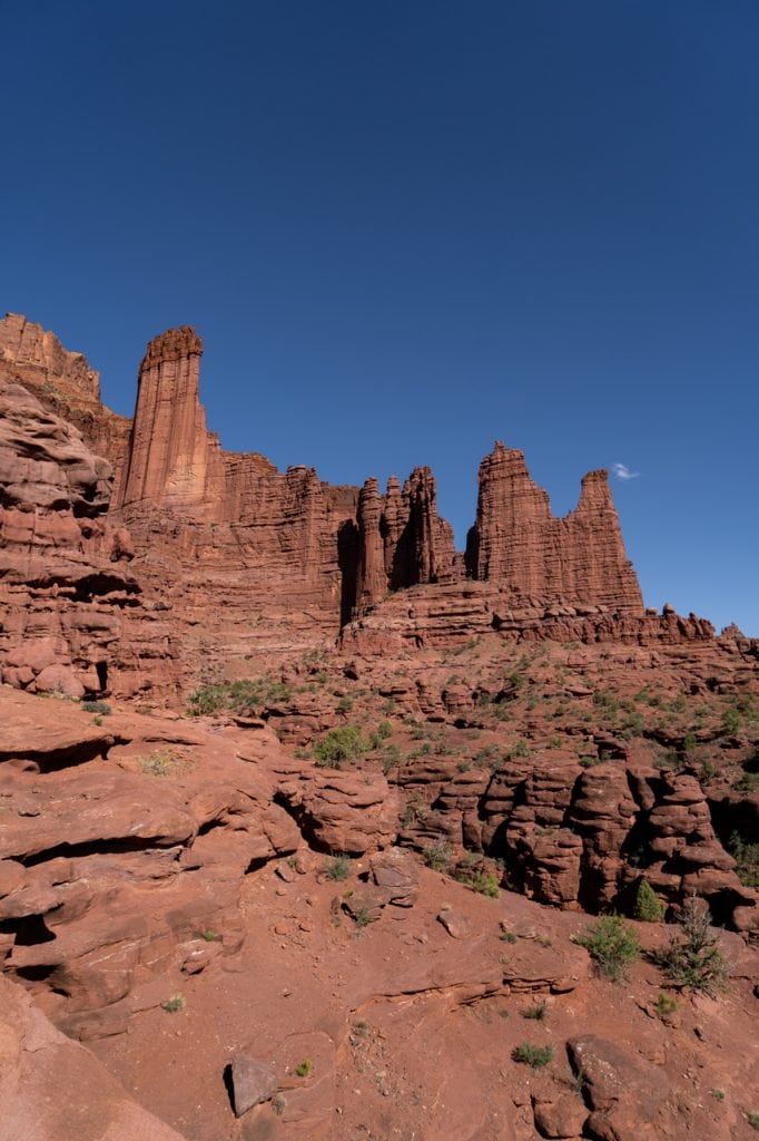
One of the more difficult hikes in Moab is the FIsher Towers Trail. There’s a good amount of elevation gain within the 4.2 miles, but some really impressive landscape to enjoy along the way. Including the sandstone and mud covered Fisher Towers themselves!
This trail allows dogs, however there is a ladder which could be difficult to get dogs up and down. We turned around at this point since it was going to be too tough with Kona. But even with turning around a bit early, the scenery was still stunning!
17. Hunter Canyon
Miles (round trip): 3.7
Elevation Gain: 387 feet
Difficulty: Moderate
Dog friendly? Yes!
Trail Map & Current Conditions
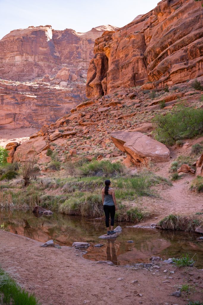
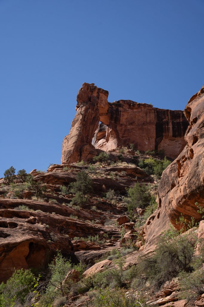
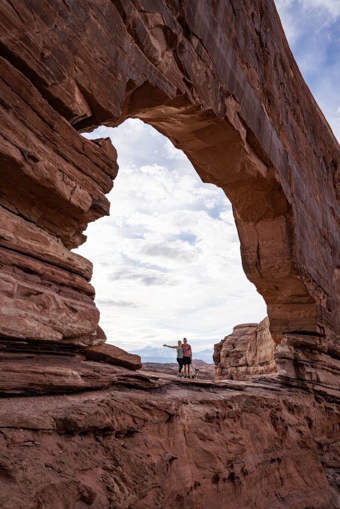
Located down the scenic Kane Creek Road (which is unpaved towards the end, but accessible by any vehicle) is the Hunter Canyon Trail. This hike is all about the journey, not the destination. You’ll wander along a creek through grand and dramatic canyon walls, all while surrounded by tons of greenery, which makes it feel like an oasis. Don’t forget to look up from time to time, as there is an arch, called Hunter Arch, high up above you, plus alcoves and other interesting formations.
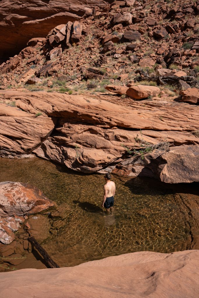
Overall it’s a pretty easy hike, but the trail is a bit sandy, which can make it feel a bit tougher. And you may have to cross a creek a couple times. We didn’t get our feet wet…well, intentionally, that is! Adam did decide to go for a little swim about halfway through the trail, which felt heavenly on a sunny day.
We also suggest downloading offline AllTrails+ maps for this one. It can get a bit confusing as to where to go at times (although, you really just follow the creek). There are also some larger boulders to climb around towards the end as well. We loved the adventure for this one. And we hardly saw anyone else, which was the cherry on tip!
A+K Tip: Make sure to stop by the Birthing Scene Petroglyph along the way!
18. Jeep Arch
Miles (round trip): 3.7
Elevation Gain: 974 feet
Difficulty: Moderate
Dog friendly? Yes!
Trail Map & Current Conditions
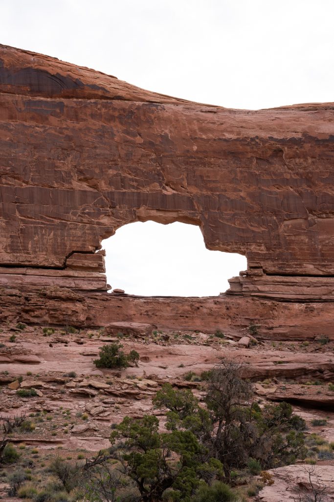
With so many arches to choose from in Moab, it can be a bit overwhelming deciding which to pick. But if you’re looking for something unique, check out Jeep Arch! This is an arch that looks like a Jeep! Well, sort of. We think it kind of just looks like a SUV. But either way, it’s a super neat arch and a great hike.
The trail starts just down the road from Corona Arch and doesn’t have an official trailhead. You just park at a pulloff on the side of the road. From there, you’ll walk into a tunnel that goes under the railroad tracks and enter a wash. There will be some signage from this point (as well as green markers on the rocks), so make sure to pay attention to see where to go. However, these marks do go away once you reach the loop part of the trail.
Along the trail you’ll have constant, beautiful canyon views. Before you reach the arch, the trail turns into a loop. We suggest going to the left first, which will give you the best view of the arch. Once you reach this junction, the trail markers do go away and it is harder to figure out where to go. AllTrails+ was helpful to find our way!
The trail does get a bit steeper after you turn off onto the loop and you do have to climb up some rocks. But it’s not that much further to the arch, which isn’t viewable until the end (which is a fun surprise!). Besides just viewing the arch, you get to walk underneath it to complete the loop, which is always a fun perk.
We did this hike just after sunrise on a weekday in April and didn’t see a single other person the entire time. This feels like a rarity in Moab, so it got extra points from us for that!
A+K Tip: This trail does not have restrooms, but the nearby Corona Arch does if you need to use the restroom before you hike!
19. Rim Loop Trail


Miles (round trip): 5.2
Elevation Gain: 875 feet
Difficulty: Moderate
Dog friendly? Yes!
Trail Map & Current Conditions
Located in Dead Horse Point State Park, you’ll find another one of the best hikes in Moab, the Rim Loop Trail! In our opinion, this trail rivals the scenery in the Islands in the Sky district of Canyonlands National Park. But a huge perk is that it’s dog friendly!
The trail will take you along a road and through some areas with trees, but there are many offshoots to different overlooks, which have awesome views of the canyon below. You can even see the La Sal Mountains and blue potash evaporation ponds in the distance!
We highly recommend hiking this hike in the late afternoon and ending at Dead Horse Point to watch the sunset. It was one of the most magical experiences we had in Moab!
A+K Tip: Getting into Dead Horse Point State Park will cost $20 per car. The America the Beautiful Pass does not work here.
20. Grandstaff Canyon Trail
Miles (round trip): 5.7
Elevation Gain: 836 feet
Difficulty: Moderate
Dog friendly? Yes!
Trail Map & Current Conditions
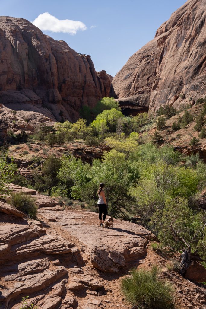
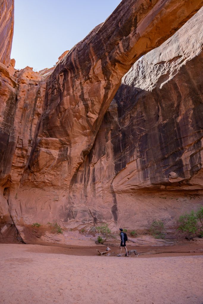
The Grandstaff Trail takes you into Grandstaff Canyon, where you’ll be surrounded by tall canyon walls and hop across a creek multiple times. During our visit, the water was pretty low, so our feet didn’t get wet. But that isn’t always the case!
At the end of the trail you’ll arrive at the Morning Glory Natural Bridge, which is 75 feet high and 243 wide, the 6th longest natural bridge in the US! However, the bridge is pretty close to the rock behind it, so from some perspectives, it may not look impressive, but make sure to stand below it and look up to see how amazing it is. You may even luck out and get to see people rappelling down from the top!
21. Professor Creek and Mary Jane Canyon Trail
Miles (round trip): 7.6
Elevation Gain: 541 feet
Difficulty: Moderate
Dog friendly? Yes! But we didn’t bring Kona due to deep water levels near the waterfall.
Trail Map & Current Conditions
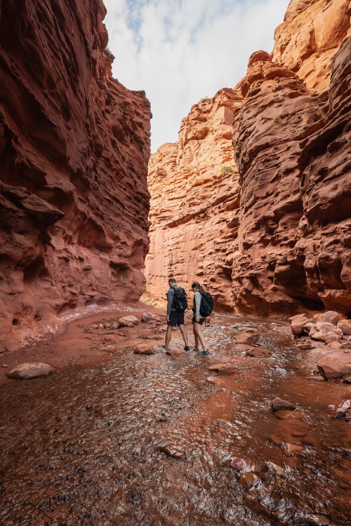
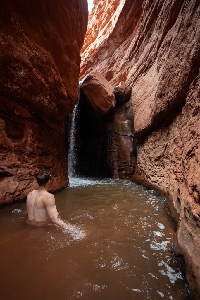
Easily one of our favorite hikes in Moab is the Professor Creek and Mary Jane Canyon Trail. This hike starts in Castle Valley (which looks straight out of a Southwest movie set, with gorgeous rock formations) and takes you along Professor Creek and into Mary Jane Canyon.
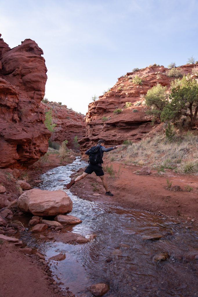
But what makes this hike extra fun is that you are crossing the creek dozens of times (some have counted 70+ times one way!) as you hike through the canyon. At first it was easy for us to keep our feet dry, but it progressively got more difficult, so we embraced it and just walked through the water in our trail runners. The water is VERY cold, but it makes for a memorable adventure!
At the end of the canyon you reach the best part: a waterfall tucked into the canyon walls! During some points of the year, you can hike right up to the waterfall. But when we went in mid April, we had to go into stomach-deep water to get closer to it. Had we wanted to go all the way to the base of it, we would’ve had to swim. Considering the water was ICE COLD, we opted to just go part of the way. But it was still epic!
A+K Tip: The parking lot can fit just over 20 cars and once it’s full, it’s full. You are not allowed to park on the road. When we finished our hike around 11 AM on a weekday, there were only a couple spots left. Also, this trail also does not have restrooms. Make sure to follow Leave No Trace Principles if you need to use the restroom on the trail.
Things to know before hiking in Moab, Utah

Leave no trace
Due to its popularity, Moab is growing pretty rapidly. Every time we visit, it has become significantly busier and more developed than the previous visits.
Please explore Moab responsibly and leave it better than you found it, so both locals who call it home, as well as future visitors, can enjoy the beauty for years to come. This includes packing out ALL of your trash on hikes (yes, this includes dog waste bags), not stepping on cryptobiotic soil, and following all Leave No Trace principles.
Bonus points: bring a trash bag and pick up any trash you find!
Start your days early
This is our top advice for anywhere we go, but it’s especially important in Moab…START EARLY! It isn’t fun to get up early on vacation, but between the heat and popularity, you’ll want to start right before or at sunrise to have some solitude and enjoyable weather.
Plan ahead and prepare
Many parks, campgrounds, hotels, and activities require planning or reservations, especially during the busy season. The beauty in and around Moab is no secret!
The National Parks have entrance fees
It costs $30 per vehicle ($25 for motorcycles) to enter both Arches and Canyonlands National Parks, which covers 7 days in the park. However, this fee only covers you at the park you pay for, so if you plan to visit more than one park, we highly recommend getting the America the Beautiful pass which is $80 per year and will get you into any National Park, monument, or forest for free.
Arches National Park has timed entry
From April 1 through October 31, Arches National Park requires a timed entry ticket between 7 AM and 4 PM. This costs $2 and can be reserved here. If you enter outside of these hours (which we’d recommend!), you will not need a ticket.
Cell Service
We found cell service to be solid in town, both on AT&T and Verizon, but once you leave town to explore the outdoors, you will likely lose service. We recommend downloading offline Google Maps and offline AllTrails maps to ensure you never get lost!
Dogs are not allowed in National Parks
Dogs are not allowed on any trails or in any buildings at both Arches and Canyonland National Parks. And during warmer days, it is unsafe to leave your pet in your vehicle, unless you have an air conditioned RV or van, like us.
But thankfully, many of the best hikes in Moab are outside of the national parks and are dog friendly. However, if you do have a dog with you for the parks, learn what we do with Kona when she cannot join us.
What to Bring to hike in Moab, Utah
As always, we recommend having the 10 essentials on you when exploring the outdoors. But here are a few key items we want to point out that will especially help you during your time in Moab!
Water
No matter what you’re doing and what time of year, be sure to bring and drink plenty of water. Even in the winter you can become dehydrated quickly in the desert and mountains. The air is super dry and our throats and noses were not fans!
We love our Camelbak bladder for hikes because it stores a ton of water and it’s easy to drink from while moving.
Hiking Shoes
The trails in Moab are a mix of dirt, sand, and rock. So you’ll want to have a sturdy shoe for lots of terrain types. We both love our Altra Lone Peak trail runners for the Moab terrain (plus they are great to walk into water with).
Kathryn also wears Lowa Renegades and we sometimes wear Chacos, which are great hiking sandals for the warmer months, water crossings, and sandy and smooth rock terrain.
Sun Protection
It is very sunny in Southern Utah and there is little tree cover, so sunglasses, hats, and sunscreen are a must!
Layers
Make sure to pack warmer clothes! If you go in the spring or fall, temperatures can swing up to 40 degrees in one day! At the end of April, we typically wore a jacket or pullover in the mornings and then shirts and tank tops by the mid afternoon.
AllTrails Maps
We’d highly recommend downloading the AllTrails maps before you go. While most of the trails in the park are easy to follow, we like to use the map to track our progress along the trail. You will need an AllTrails+ membership to download maps, which is $35.99 a year and so worth it! (But you can get 30% off with our code aplusk30)
Looking For More Things To Do In Southern Utah? Check Out Our Other Guides:
- eBook: 10 Day Utah National Parks Road Trip Itinerary
- The 15+ BEST things to do in Moab, Utah
- Visiting Island in the Sky at Canyonlands National Park
- The Best Things to do in the Needles District of Canyonlands National Park
- The Best Things to do at Capitol Reef National Park
- 3 Days in Zion and Bryce Canyon National Parks
- All of our Utah Vlogs
- All of our Utah Guides
Ready to experience the best hikes in Moab?
Pin this guide with our favorite Moab hikes to plan your adventure!