Last updated on December 13th, 2025
Want to experience Leslie Gulch in Eastern Oregon? We’re sharing everything you need to know to visit!
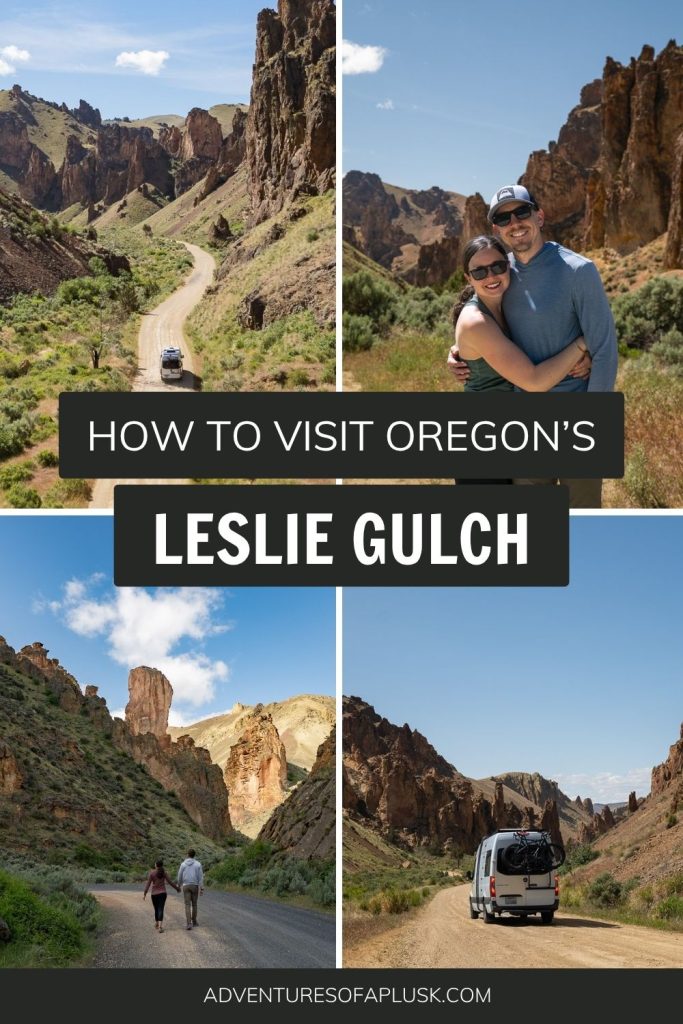
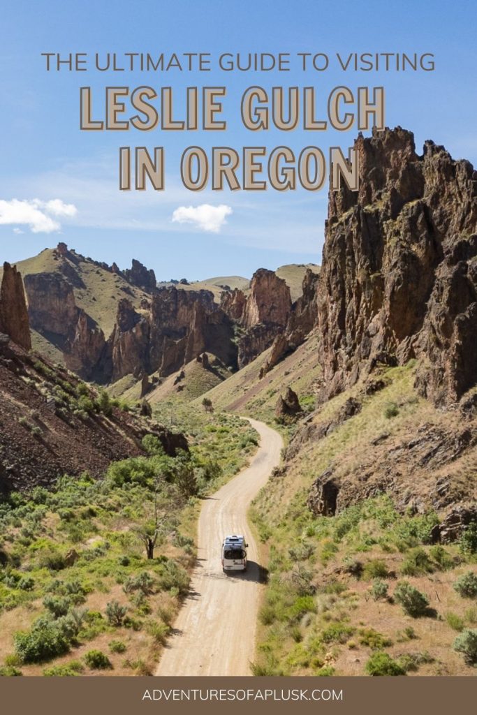
Tucked into a remote region of Eastern Oregon lies the striking Leslie Gulch, a canyon filled with dramatic rocky spires, rugged terrain, rolling hills, and a variety of wildlife.
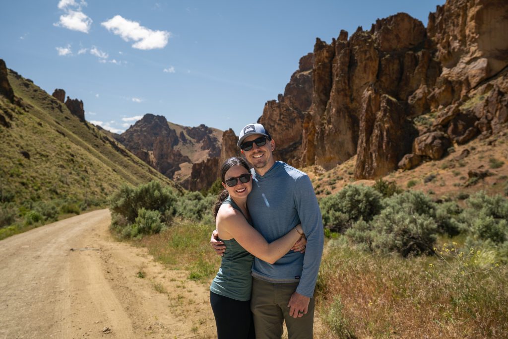
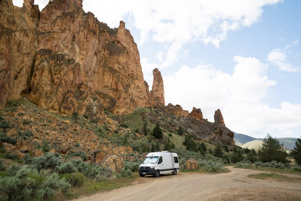
Visiting this wonder had been on our Oregon bucket list for years. And we can confidently say that it 100% lived up to our expectations! Winding our van through this wild landscape was unlike anything we have experienced across North America. It felt like another planet at times!
And while we think it’s a must-visit on any Eastern Oregon road trip, don’t hop into the car just yet! This is a remote, rough landscape that requires a bit of preparation and is not suitable for all vehicles. But in this guide we’re sharing all of the details and logistics you need to know to decide if it’s the right adventure for you, plus help you have a fun and safe visit.
Looking for more things to do in Oregon?
- The Ultimate 8 Day Eastern Oregon Road Trip Itinerary
- Oregon’s Painted Hills: How to visit this colorful wonder!
- Visiting the Alvord Desert in Oregon: Everything to know!
- 11 Fun Things to Do in Joseph, Oregon
- 20+ AMAZING things to do in Bend, Oregon
- How to have an EPIC Southern Oregon Coast Road Trip! (The BEST things to do + 3 day itinerary!)
- The BEST things to do at Crater Lake National Park in Oregon (+ one day itinerary!)
- How to visit Tumalo Falls in Bend, Oregon (ANY time of the year!)
- A weekend in Portland itinerary
- The best things to do in Cannon Beach on the Oregon Coast!
- Watch our Oregon videos
About Leslie Gulch

Leslie Gulch gets its name after Hiram Leslie, a cattle rancher, who in 1882, was struck by lightning and killed in the gulch while working his cattle.
And while you will see plenty of cattle on the drive into Leslie Gulch, today it’s most famous for its winding roads, with towering volcanic tuff rock walls, which lead down to the Owyhee Reservoir. Plus, for its endless recreation opportunities! Here you can hike, rock climb, fish, boat, spot wildlife, and go for a swim. Or just stick to the car and enjoy a scenic drive!
How to get to Leslie Gulch
Where is Leslie Gulch?
Leslie Gulch is located in Eastern Oregon, about 2 hours west of Boise, Idaho, in the Owyhee Canyonlands. This is a remote, rugged area that encompasses 2.5 million acres and is one of the largest expanses of unprotected land in the lower 48, with huge efforts for it to gain protection. Leslie Gulch is just one of the many areas you can explore in the Owyhee Canyonlands, but in recent years, has become one of the most popular.
Getting to the start of Leslie Gulch
Enjoying long, bumpy rides is required for visiting Leslie Gulch! Not only is the road into the gulch itself unpaved, but you will also drive unpaved roads to get to the main road. You can expect between 21-28 miles of unpaved roads, depending on the route you take.
If coming from the Boise area, like we were, you have two main route options. You can take this route, following Highway 95 south and turning right onto McBride Creek Road. Or you can continue more south on Highway 95 and turn right onto Succor Creek Road. Both routes will meet up here and then you’ll follow Succor Creek Road to get to the road that goes into Leslie Gulch.
We took both routes, McBride Creek Road going to Leslie Gulch and Succor Creek Road leaving Leslie Gulch. Both roads are gravel and have sections with bumps and washboards. But we think they are doable in any vehicle (higher clearance will help though)!
We personally found the Succor Creek Road to be a bit smoother than McBride Creek Road, although you will be on gravel for longer.
The road into Leslie Gulch
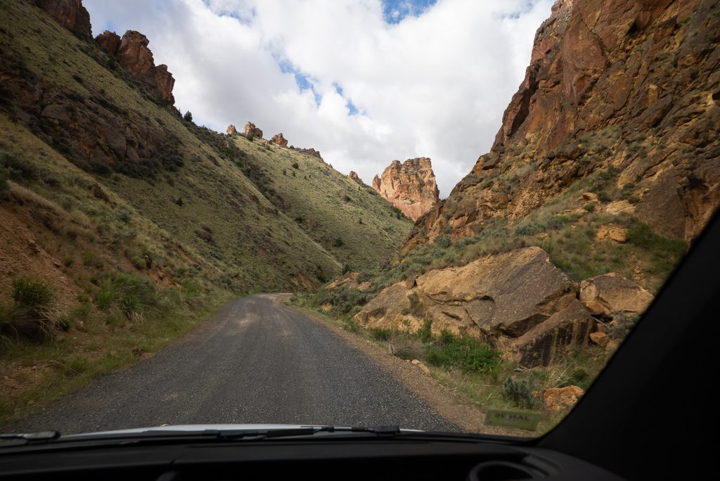
Once you turn off Succor Creek Road and head into Leslie Gulch, the road was surprisingly mostly well maintained. It will be slow moving and rough, with some washboards, but overall isn’t horrible. This is coming from people who travel on rough roads often though.
The first part of the drive is in a more exposed, open area with rolling hills and free range cattle. As you get closer to the gulch, you will be driving more on cliffsides, but the road is wide and it never felt unsafe.
Once you make it about 8 miles in, you will begin to descend into the gulch and see the area’s famous rock formations. The road continued to be pretty doable until just past the turnoff for Dago Gulch. Here is where we encountered some deeper, braided ruts, with some water flowing through, that seemed iffy for our van.
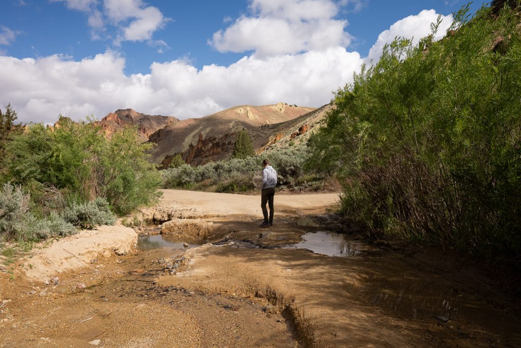
While in photos it may not look that bad, it was a bit tricky in real life. Our van is a bit higher clearance, but is also very long, which makes us a bit tougher to maneuver in these situations. We had to line up our tires to avoid scraping the bottom of the van, as well as not scratch the side of the van with trees. While we successfully did it, if our van was any longer or had less clearance, it could’ve been tough.
After this spot, we encountered three more dips in the road, which were much easier to cross. One was a bit deeper and we scraped the bottom of our back bumper a tiny bit, though.
However, the road conditions can vary and our experience may not reflect yours. If it has rained a lot, the road can turn muddy or rutted, which can make traversing it even more difficult for many vehicles. So we only suggest bringing specific vehicles out here and be prepared to turn around if it’s not doable for you.
What type of vehicle is needed?
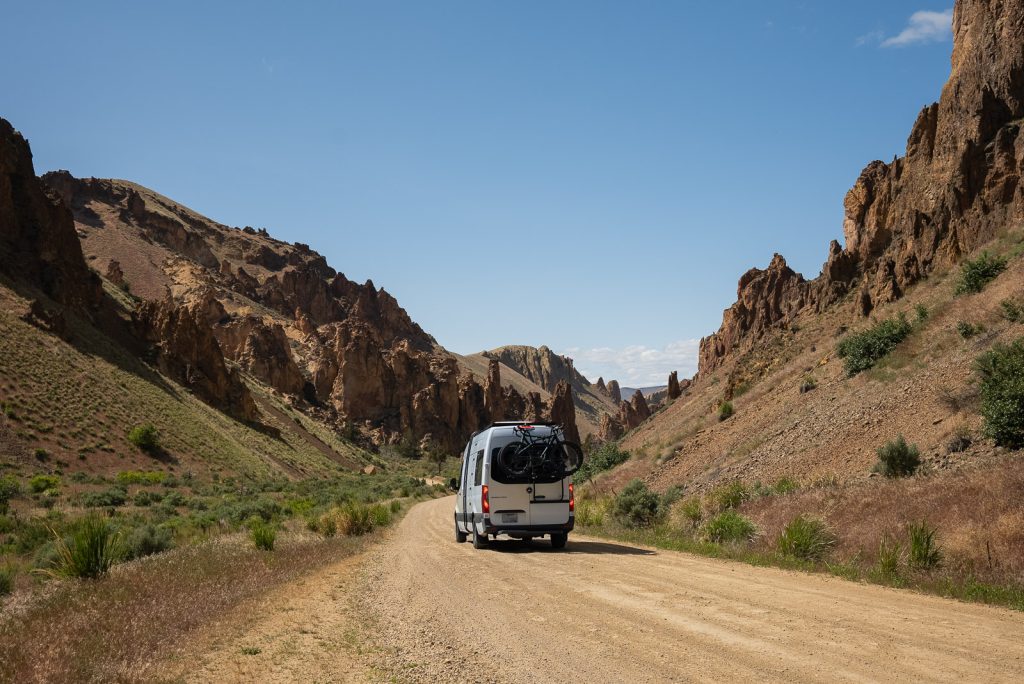
While 4×4 or AWD would be helpful here, it is not 100% necessary, unless it has been very rainy. Our RWD van did fine, but our biggest issues were clearance and length. We’d suggest at minimum a higher clearance vehicle (like a truck or SUV) and not traveling in anything longer than our van (23 feet). For us, our length was the biggest hurdle, since we are less nimble than smaller vehicles.
When to visit Leslie Gulch
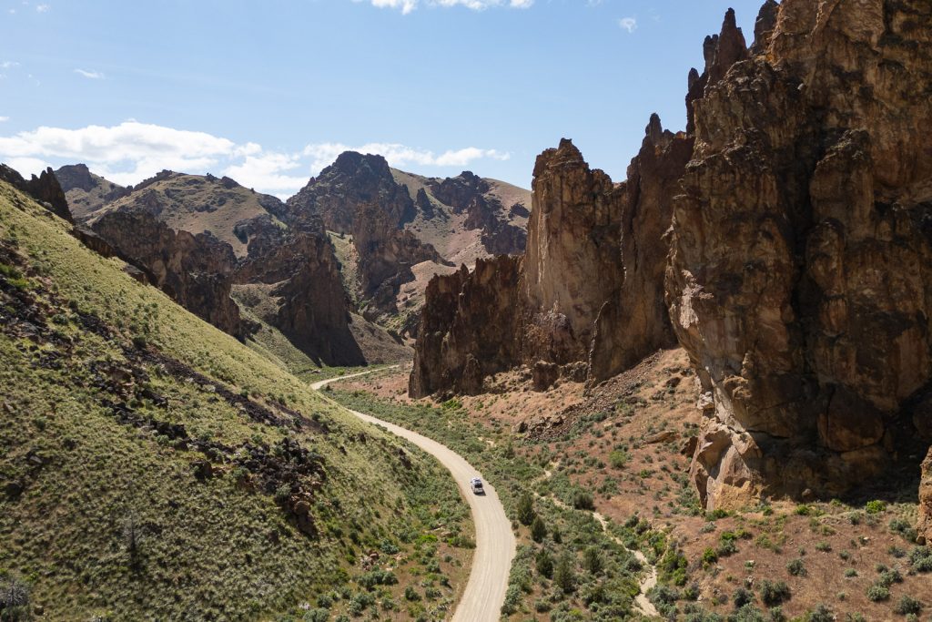
Eastern Oregon can get very hot in the summer and does experience snow in the winter (plus muddier roads), so we’d recommend only visiting in the spring or fall, when the temperatures are more mild. There is practically zero shade, so even when we visited on a cooler day, it felt pretty warm.
We personally visited in late May and were so happy with that decision! Not only were the temperatures tolerable, but we also unintentionally timed our visit with the greener season in the gulch. We loved seeing the greener hillsides, plus wildflowers!
Besides the month, we’d also suggest visiting on a weekday if you can. This has become a popular area and if you want to camp, it may be tricker on the weekends. Even when we visited on a Tuesday, it was pretty busy at the end of the gulch.
Important things to know before visiting Leslie Gulch
Leave no trace
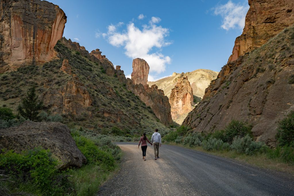
Being located on one of the largest unprotected lands in the lower 48, it is up to all of us to treat this place with respect so it can be experienced by future generations. If you visit Leslie Gulch, please follow Leave No Trace principles!
These seven principles include planning ahead and preparing, hiking and camping on durable surfaces, disposing of waste properly (pack out what you pack in!), understanding campfire rules and always fully extinguishing your fires, respecting wildlife, and being considerate of other visitors.
Leslie Gulch Area of Critical Environmental Concern

The Leslie Gulch Area of Critical Environmental Concern is a region that encompasses the majority of Leslie Gulch. And specific rules apply here, so make sure you understand what you can and cannot do in this region.
- Within this region, you can ONLY camp and have campfires in the Slocum Creek Campground (14 days maximum). There is one other camping option outside of this area that we will share below.
- Overnight backpacking and horses are not allowed in the Area of Critical Environmental Concern.
- You can only drive on existing roads and in parking areas.
- You cannot collect vegetation, rocks, or firewood.
There are VERY limited services
Leslie Gulch has four pit toilets: located here, at the Juniper Gulch trailhead, at the campground, and by the boat ramp. But besides that, there are no other amenities or services in Leslie Gulch. You will not find any potable water spigots or trash cans and the nearest town is many miles away. So make sure to bring plenty of food and water, plus pack out ALL of your trash!
Cell service is non-existent
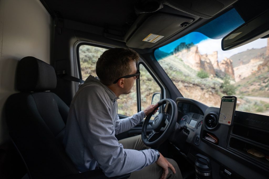
During our time in Leslie Gulch we had zero cell service (Verizon). So make sure you are prepared to be off the grid and download offline maps beforehand. We did use our Starlink here and it worked great due to the wide open skies.
Fuel up beforehand
The closest fuel options are in Marsing, Idaho and Jordan Valley, Oregon. So make sure to fuel up in advance!
Beware of wildlife
Leslie Gulch is home to more than 200 California bighorn sheep, plus some scarier wildlife, like rattlesnakes. Make sure to be alert on trails, watch your step, and give wildlife plenty of distance.
Be mindful of flash flooding
Canyons and gulches, especially the offshoot trails in Leslie Gulch, can experience flash flooding. While we do not recommend visiting Leslie Gulch if it is going to rain to begin with, we especially do not recommend hiking in the area if there is rain in the forecast. Flash floods can happen quickly and can be extremely dangerous!
Things to do in Leslie Gulch
Enjoy the scenic drive
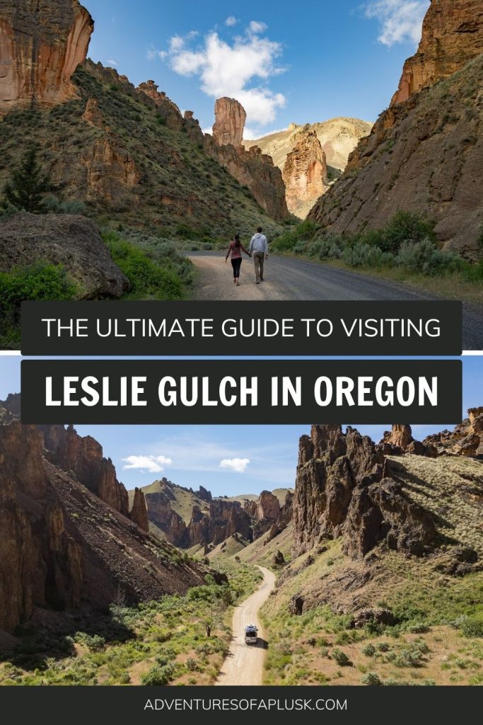
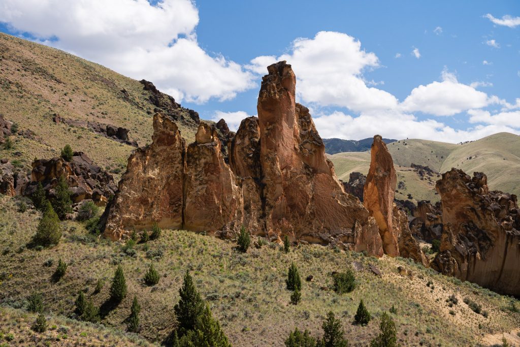
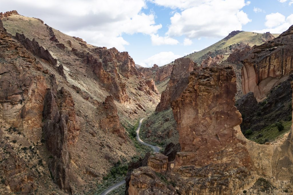
The easiest and top thing to do in Leslie Gulch is to just drive it! While the entire drive is an experience, the final 6 miles or so is where you will find the iconic rock spires that truly make this area feel like you’ve stepped into another world. These formations are split into two sections, one near Upper Leslie Gulch and Dago Gulch and another by Juniper Gulch and Timber Gulch.
Even if this is all you have time for, you’re in for a treat!
Upper Leslie Gulch Trail
Distance (round trip): 4.2 miles
Elevation gain: 757 feet
Difficulty: Moderate
Trail Map & Current Conditions
The first hike you’ll come across as you enter Leslie Gulch is the Upper Leslie Gulch Trail. You will see a small pullout with signage on your left, which is where the hike begins. On this trail you’ll wander through a side canyon off the main gulch, getting to see more of its volcanic tuff scenery.
However, this hike is a bit more about the journey rather than the destination, as there is no major viewpoint at the end. Plus, we hear the end is very overgrown. So you could definitely just do a portion of this hike and get the gist of what it has to offer.
Dago Gulch Trail
Distance (round trip): 2.1 miles
Elevation gain: 285 feet
Difficulty: Easy
Trail Map & Current Conditions
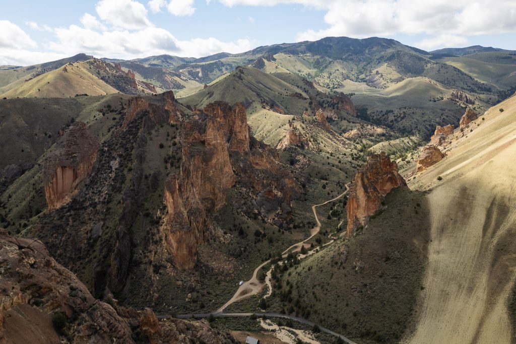
Dago Gulch is a really cool side canyon off of Leslie Gulch. Right after you go through the first section of spires in Leslie Gulch, you will see a large parking area on your left. You can either park here and walk into the gulch or drive it (4×4 recommended). It will eventually end at private property, but along the way you’ll get to wander through some of the rock formations. And there are even some tighter side canyons you can explore!
Juniper Gulch Trail
Distance (round trip): 3.3 miles
Elevation gain: 1,046 feet
Difficulty: Moderate to hard
Trail Map & Current Conditions
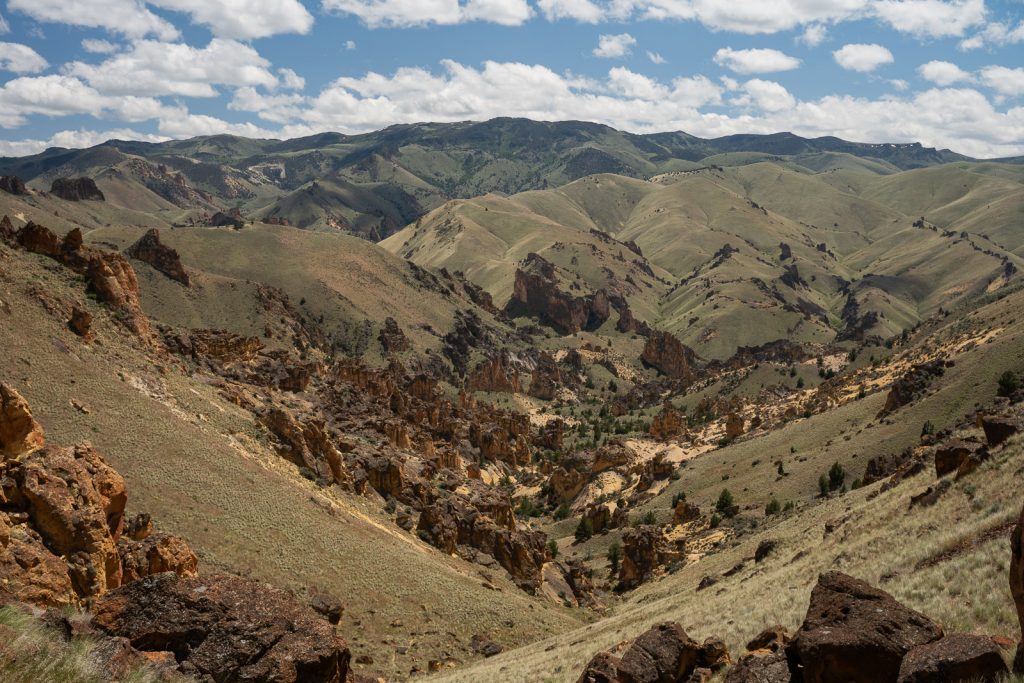
If you can only pick one trail to hike in Leslie Gulch, choose the Juniper Gulch Trail! In between the road’s two main sections of spires you’ll find a pullout on the right (with a pit toilet across the road), as well as a small trailhead sign.
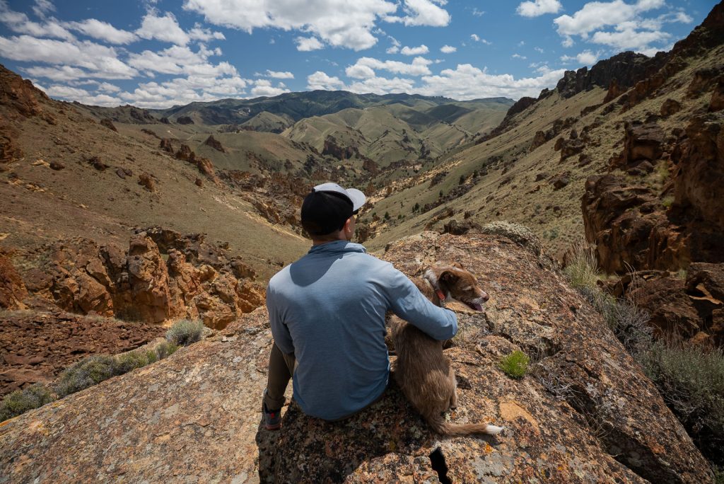
The hike starts out by going through a more vegetative area, with cool rocky overhangs to walk under and a close up glimpse at the geology of the area. You will then walk across a ridgeline before beginning the steep ascent to the top. Unlike some of the other hikes in the area, this hike leads to a sweeping viewpoint overlooking Leslie Gulch and the Owyhee Canyonlands.
We loved seeing the mix of green rolling hills, plus towering orange rocks! However, this hike is tough. Not only are there a few confusing areas (the AllTrails map helps a lot for this one!), but it is incredibly steep at the end, with loose dirt.
Timber Gulch Trail
Distance (round trip): 1.2 miles
Elevation gain: 456 feet
Difficulty: Hard
Trail Map & Current Conditions
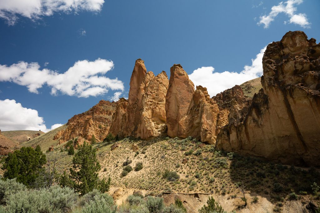
The final hike you’ll come across in Leslie Gulch is the Timber Gulch Trail. While this may be the shortest hike in the area, it’s also the steepest! Similar to the other trails, you will hike through the area’s famous rock formations, with some scrambling involved. The hike ends with a particularly beautiful section of towering rocks around you.
Parking for this hike is just a small pullout that would be super easy to miss! So make sure to mark it on Google Maps beforehand so you know where to go.
Owyhee Reservoir
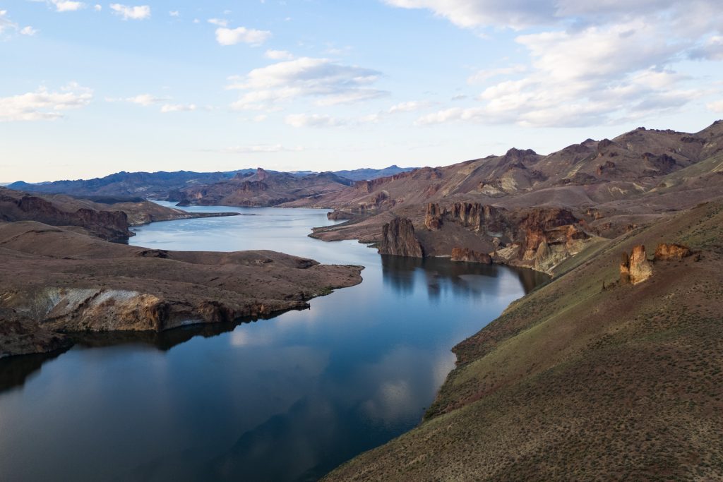
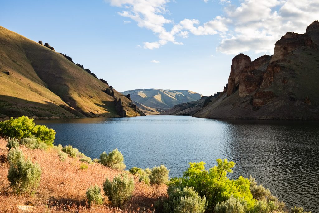
Located at the end of Leslie Gulch is the Owyhee Reservoir, located along the Owyhee River. This river and reservoir are named after 3 Hawaiians who were dispatched from a fur trapping company in 1819 to explore the river. They unfortunately either got lost or killed, so many began to refer to the river and surrounding area as “Owyhee,” which is an older phonetic and English spelling of Hawaii, in honor of them.
At the reservoir you can go boating, kayaking, fishing, or swimming.
Camping at Leslie Gulch
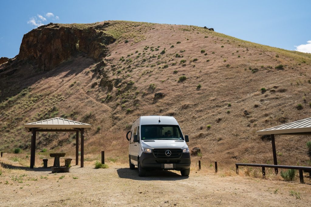
Leslie Gulch has one official campground, the Slocum Creek Campground. This is a FREE, first-come, first-served campground with 9 campsites. Each campsite has a covered picnic table and fire ring, plus there is a pit toilet on site. Within the Leslie Gulch Area of Critical Environmental Concern this is the ONLY place you can camp.
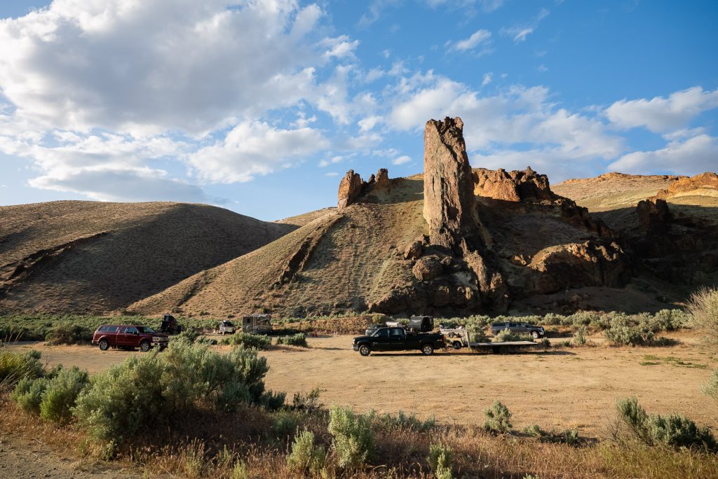
However, just diagonal to the campground is an overflow parking lot. This parking lot is just outside of the Area of Critical Environmental Concern and you can camp here overnight. There are no amenities at this parking lot, but it is a short walk to the toilets if you need them.
During our visit, we arrived at the campground around 3:30 PM on a Tuesday and got the last available campsite. The overflow area was decently busy as well, but there was still some space there!
What to bring to Leslie Gulch
Food and water
The closest places to get groceries or potable water are in Marsing, Idaho and Jordan Valley, Oregon. So make sure to come prepared with plenty of food and water for your Leslie Gulch adventure.
For hiking, we recommend bringing a CamelBak bladder to easily carry plenty of water on the trail. The exposed, sunny, and warm terrain will make you very thirsty! We’d also suggest bringing electrolytes, like LMNT (our favorite!). Use this link to get a free sample pack with any order!
Long pants
We found that some of the trails in this area were pretty overgrown (and we did spot some poison ivy), so it’s recommended to wear long pants. Ticks can also be present as well, so make sure to do a tick check after hikes!
Sun protection
Shade is limited at Leslie Gulch, so make sure to pack sunscreen, plus wear a sun hoodie, hat, and sunglasses. Adam wears KALIYADI sunglasses and Kathryn wears Ray-Bans.
Hiking poles
With some tougher hikes in the area, we recommend hiking poles to help you keep your footing when descending steep sections made up of loose dirt.
Trash bags
Since there are no trash cans or dumpsters in Leslie Gulch, make sure to pack trash bags and take ALL of your trash with you!
Tire Deflator
Airing down your tires can make a BIG difference when driving on rough roads! We use a Boulder Tools tire deflator and it has worked great over the years.
Portable Air Compressor
Once we got back to pavement after our Leslie Gulch adventure, we used our Viair 88P portable air compressor to air the tires back up. This air compressor is small and it takes less than 10 minutes to air up all 4 tires.
Spare tire + tire patch kit
Hopefully you will NOT need this, but just in case you get a flat tire due to the rockier terrain, make sure you have a spare tire on your vehicle. We also suggest bringing a tire patch kit in case you are able to salvage the tire.
Emergency Roadside Kit
If you run into an issue with your vehicle, such as a dead battery, help could be tough to get out here. So make sure to carry an emergency roadside kit!
Garmin inReach Mini
We always bring our Garmin InReach Mini on any outdoor adventure. This gives us the ability to message family, to let them know we are okay, plus has SOS capabilities, which we thankfully have never used. It’s an expensive piece of gear, but truly one of the best investments you can make for your safety. Especially in an area like Leslie Gulch with zero cell service.
Offline Maps
Before you leave cell service, make sure to download offline Google Maps and AllTrails maps. We found the trails to be a bit tricky to follow at times within Leslie Gulch and having AllTrails helped us BIG time!
Want to get 30% off an AllTrails Plus membership? Use our code aplusk30 (you must redeem this code on the website, not the app)!
We use AllTrails Plus on every single hike and it is the most helpful hiking tool out there! Some of the features we love are offline maps (so we can navigate even without cell service), wrong-turn alerts, and its 3D maps feature, so we can get a feel for trails before we hike.
Save this guide to visiting Leslie Gulch