
We’re sharing 10 beautiful hikes in Great Basin National Park, one of the most underrated parks in the country!
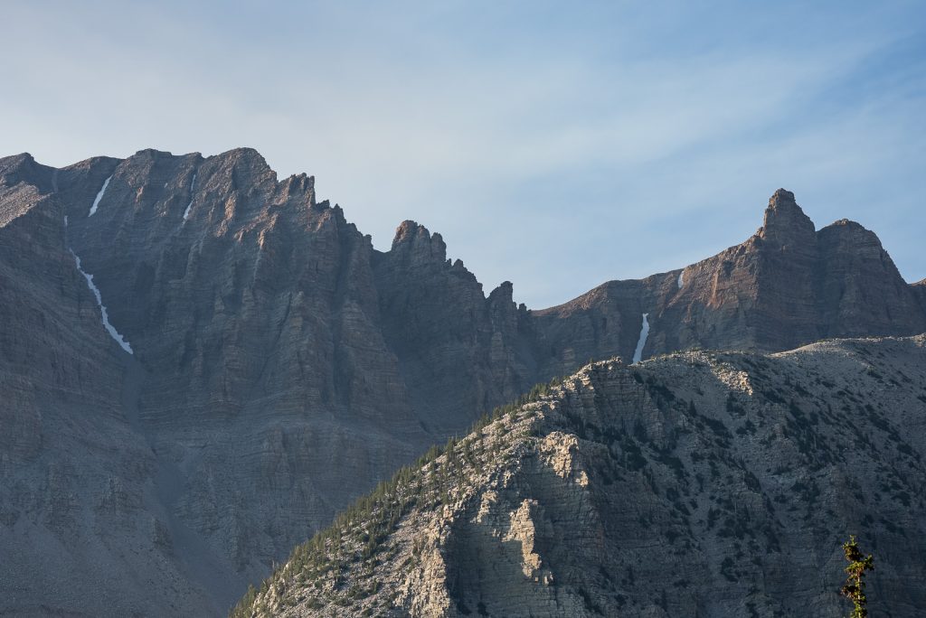
Of the 52 US National Parks that we have visited, one of the best surprises was Great Basin National Park. The park has stunning scenery from alpine lakes, epic mountains, an impressive cave, and ancient trees. It offers some fantastic and diverse hikes, all within a relatively small space!
But the best part? It’s the 10th least visited National Park in the United States. Which means you won’t be fighting the crowds on the trails!
And if you’re looking for the best hikes in Great Basin National Park, you’ve come to the right place! We spent multiple days exploring the park, from its highest peaks to below the surface. And in this guide we’re sharing our top can’t-miss trails, plus tons of helpful tips to make your time in the park a success!
- Best Hikes in Great Basin National Park
- Map of the Best Hikes in Great Basin National Park
- Short Hikes in Great Basin National Park
- Medium Length Hikes in Great Basin National Park
- Longer Hikes in Great Basin National Park
- Things you Need to Know Before Hiking in Great Basin
- Save this Guide to the Best Hikes in Great Basin National Park
Best Hikes in Great Basin National Park
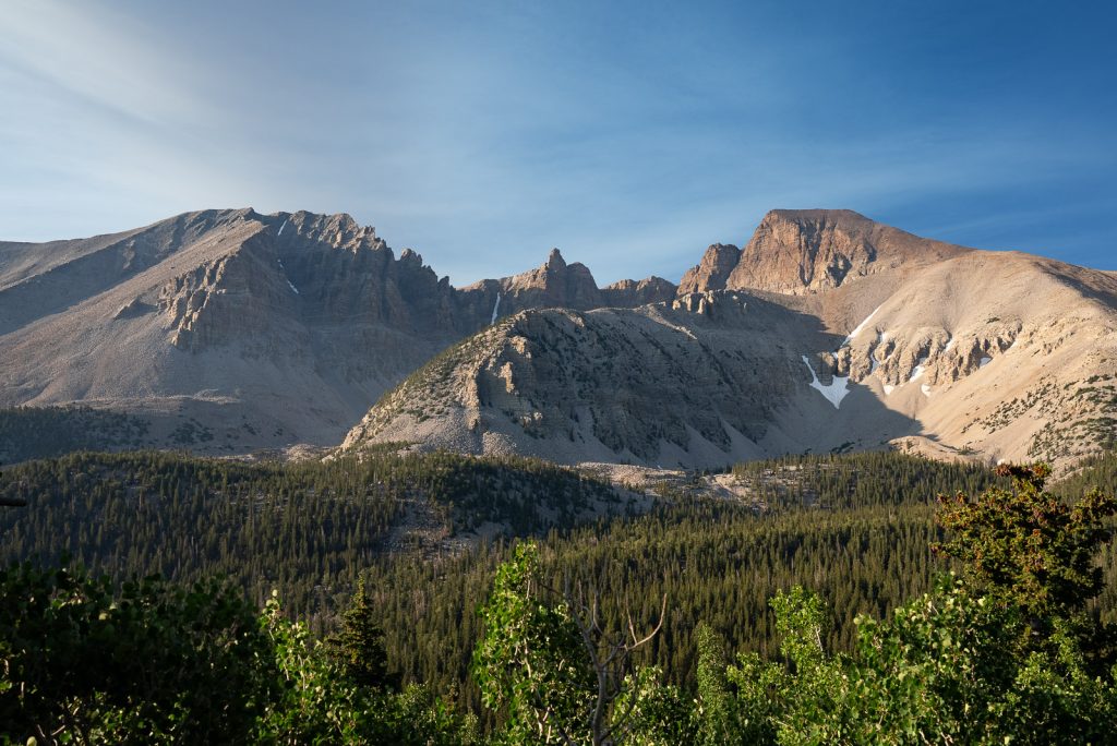
Our list of the best hikes in Great Basin National Park is listed by length, from shortest to longest.
We have also included the AllTrails link for each trail, so that you can read current conditions before you head out. Be sure to get AllTrails Plus so that you can download the map and ensure you never get lost! (Use our code aplusk30 for 30% off!)
And while we’ve included many of these hikes in our list of the best things to do in Great Basin National Park, there’s several other fun things to do on that list too. So be sure to read both guides before heading to the park!
- Alpine Lakes Loop Trail (2.7 miles)
- Serviceberry Loop (3.1 miles)
- Baker Creek Loop (3.5 miles)
- Bristlecone Pine Glacier Trail (3.9 miles)
- Lexington Arch Trail (5.5 miles)
- Bristlecone and Alpine Lakes Loop (6 miles)
- Lehman Creek Trail (6.6 miles)
- Pole Canyon Trail (6.7 miles)
- Wheeler Peak Summit Trail (8.7 miles)
- Baker Lake-Johnson Lake Loop (12.5 miles)
Map of the Best Hikes in Great Basin National Park
Short Hikes in Great Basin National Park

1. Alpine Lakes Loop Trail
Miles (round trip): 2.7
Elevation (feet): 475
Where to Park: Bristlecone, Alpine Lake and Sky Island Forest Trailhead
Reviews & Current Conditions
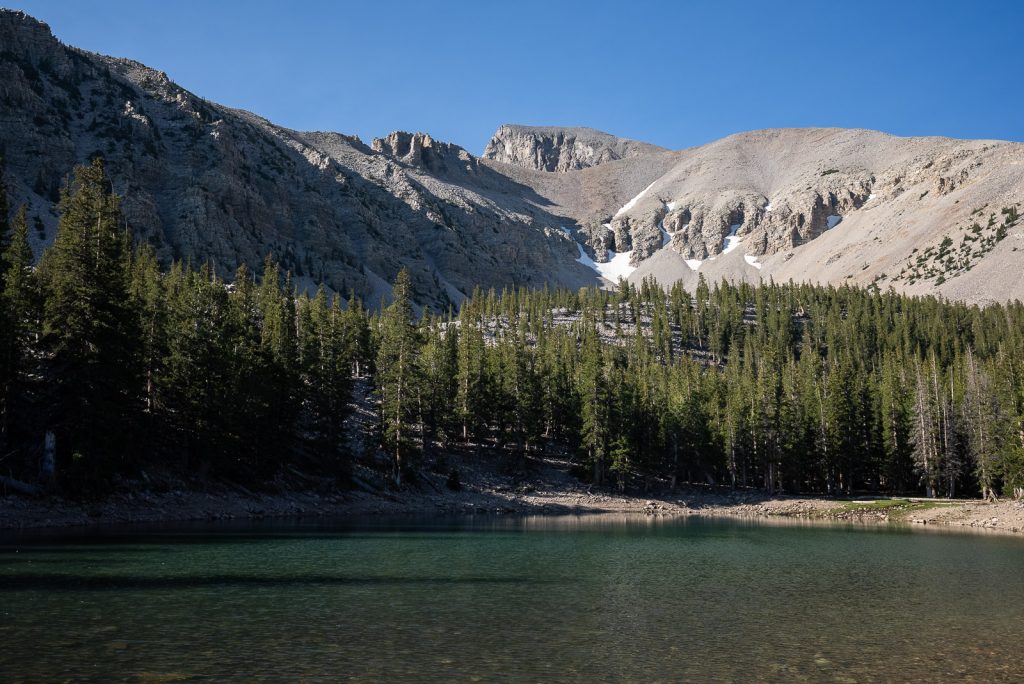
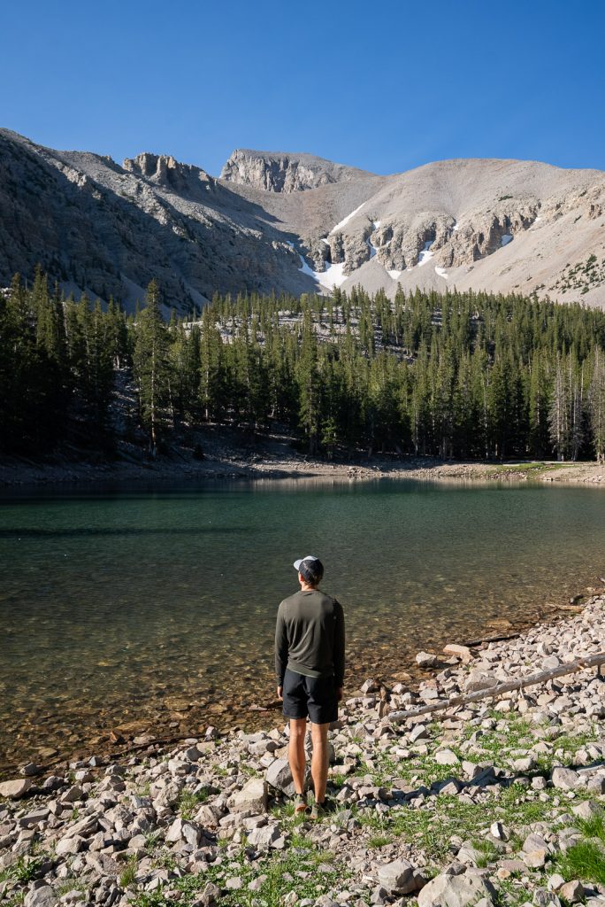
Easily one of our favorite hikes in Great Basin National Park is to both Stella Lake and Teresa Lake. These two clear, alpine lakes have a striking mountain backdrop. And will make you think you’ve transported to the Rocky Mountains!
The most straightforward way to visit these lakes is along the 2.7 mile Alpine Lakes Loop Trail. But for an extra adventure, we highly recommend combining them with the Bristlecone Pines and the Wheeler Peak Glacier, which we will be sharing more about below!
2. Serviceberry Loop
Miles (round trip): 3.1
Elevation (feet): 734
Where to Park: Serviceberry Trailhead
Reviews & Current Conditions
Hidden in a quiet corner of the park, the Serviceberry Loop is a hidden gem that starts with a 13-mile gravel drive to the trailhead. Although the road is rough, it’s possible for any type of car to navigate.
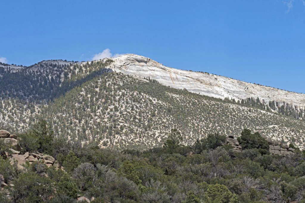
Starting at over 8,000 feet, this roughly 3-mile loop is great for acclimating to the altitude, though it includes a few steady climbs to get your heart pumping. We recommend hiking clockwise for a more gradual climb and sweeping views of the surrounding mountains and wildflowers. Along the way, you’ll see open hillsides and shady pines. Plus an aspen grove, which has stunning foliage in the fall. And since it’s not a popular trail, you’ll likely have most of it to yourself.
3. Baker Creek Loop
Miles (round trip): 3.5
Elevation (feet): 935
Where to Park: Baker Creek Trailhead
Reviews & Current Conditions
The Baker Creek Loop winds you through the forest and meadows, plus along Baker Creek, with some mountain views along the way. At 3.5 miles round trip and 935 feet of elevation gain, it’s definitely not a flat stroll, but is overall pretty moderate. And since it’s a loop, you’ll have different scenery the entire trail! We recommend hiking counterclockwise around the loop for a more gradual incline.
4. Bristlecone Pine Glacier Trail
Miles (round trip): 3.9
Elevation (feet): 797
Where to Park: Bristlecone Parking Area
Reviews & Current Conditions
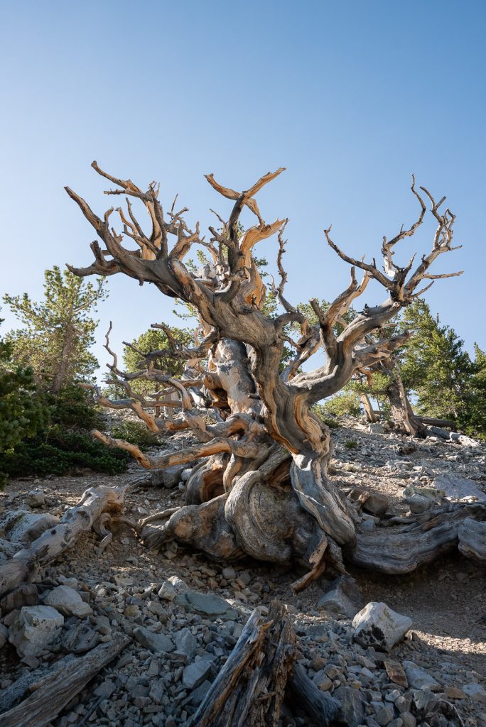
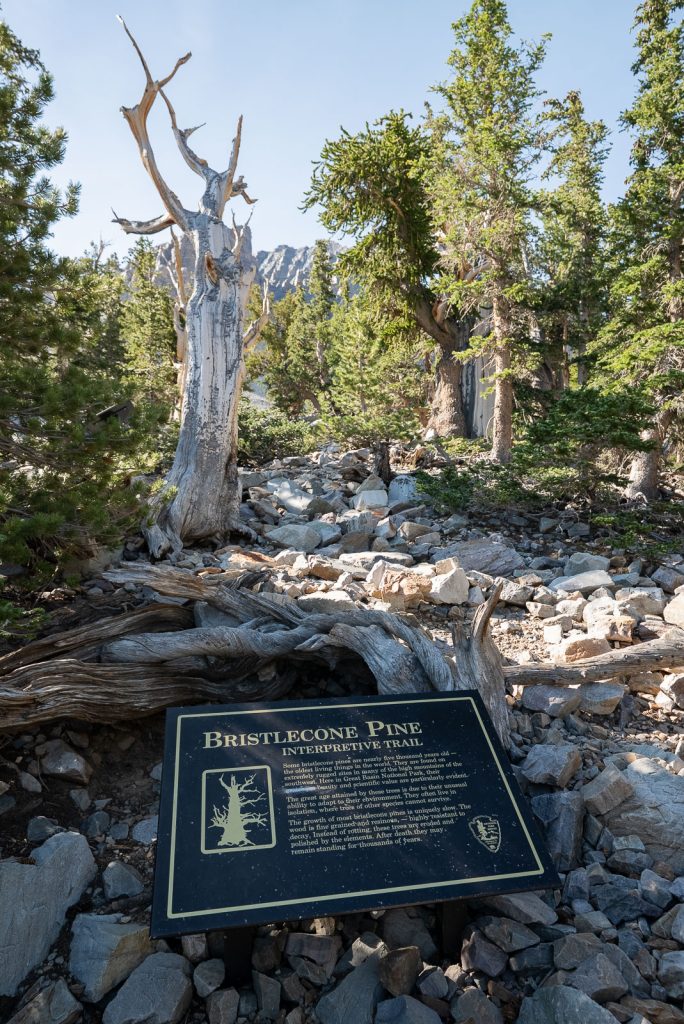
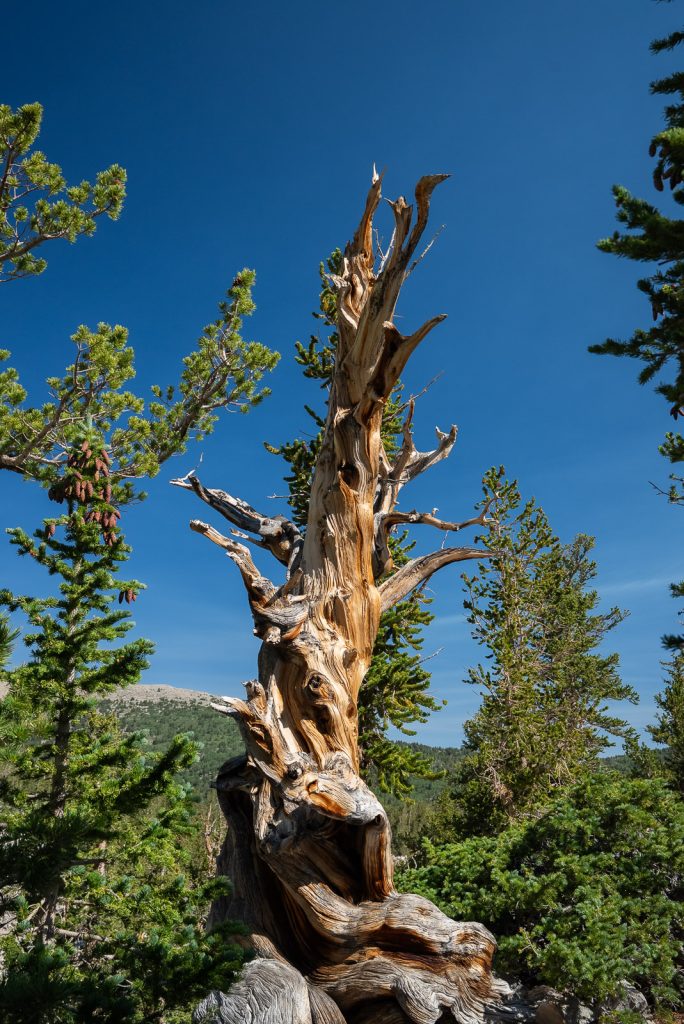
Great Basin National Park is home to three groves of Bristlecone Pines, but the easiest to access are in the Wheeler Peak region. What are Bristlecone Pines you may ask? These are the oldest trees in the world, with many being over 4,000 years old. They only grow in select places in high altitude settings, typically from 5,600 feet up to 11,200 feet. And they are famous for their gnarly shapes, which is partially due to the harsh environment they live in.
To see them, head onto the Bristlecone Pine Glacier Trail! This route takes you by Teresa Lake (make sure to add on Stella Lake too!) as you climb up into a grove filled with these wildly shaped trees.
What we loved about this trail is not only do you get to see the Bristlecone Pines, but there are also interpretive signs to educate you about the trees along the way.
Medium Length Hikes in Great Basin National Park
5. Lexington Arch Trail
Miles (round trip): 5.5
Elevation (feet): 1,315
Where to Park: Lexington Arch Trailhead
Reviews & Current Conditions
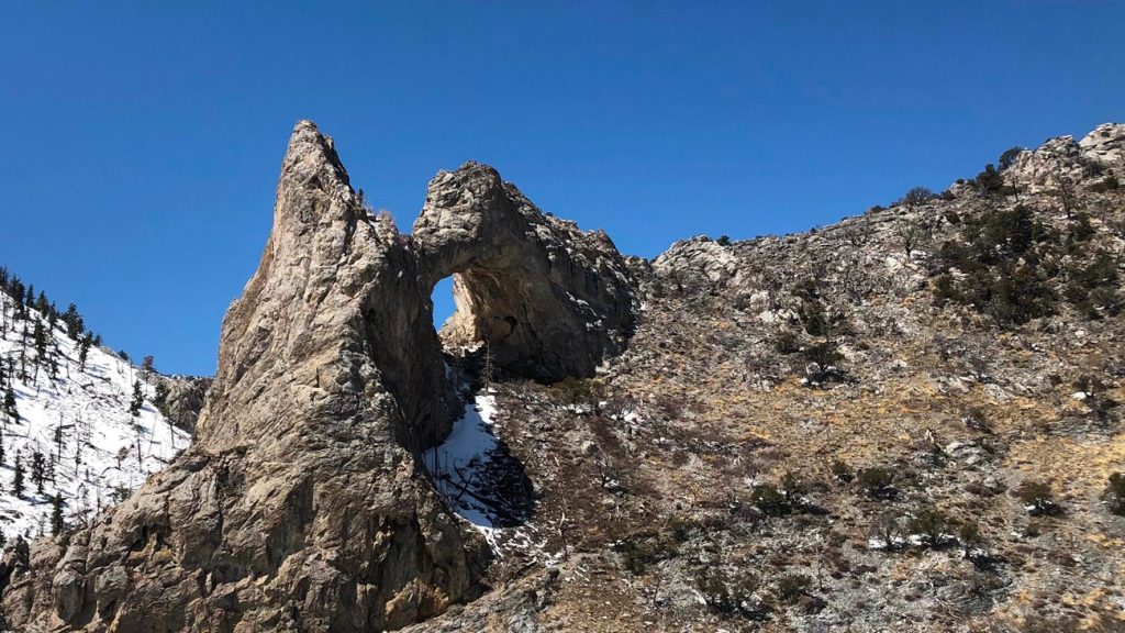
Great Basin offers a wide variety of scenery and one feature you may not expect is an arch! The Lexington Arch Trail takes you to a giant and unique limestone arch, which is very different from the arches you can find in the nearby Utah National Parks!
However, getting here requires a bit of effort. First off, the road is unpaved and in very rough condition. It is recommended that you have a higher clearance vehicle to get there. Secondly, do NOT follow the generic Google Maps instructions, as this will take you down some gnarly roads. Instead, use these directions, which takes you down Highway 487, which turns into Highway 21 once you cross into Utah. You will turn right just after Pruess Lake (there will be a sign that says Lexington Arch). Parking for the hike is about 1 mile before the official trailhead, due to the rest of the road being washed out.
The trail itself is very exposed, which means you will have views along the entire way. But it also means it can get very hot. So we suggest hiking early, bringing plenty of water, and wearing lots of sun protection!
As a bonus, this is the ONLY dog friendly hike in the park (on a leash)! But keep in mind that this is rattlesnake territory.
6. Bristlecone and Alpine Lakes Loop
Miles (round trip): 6
Elevation (feet): 1,217
Where to Park: Bristlecone, Alpine Lake and Sky Island Forest Trailhead
Reviews & Current Conditions
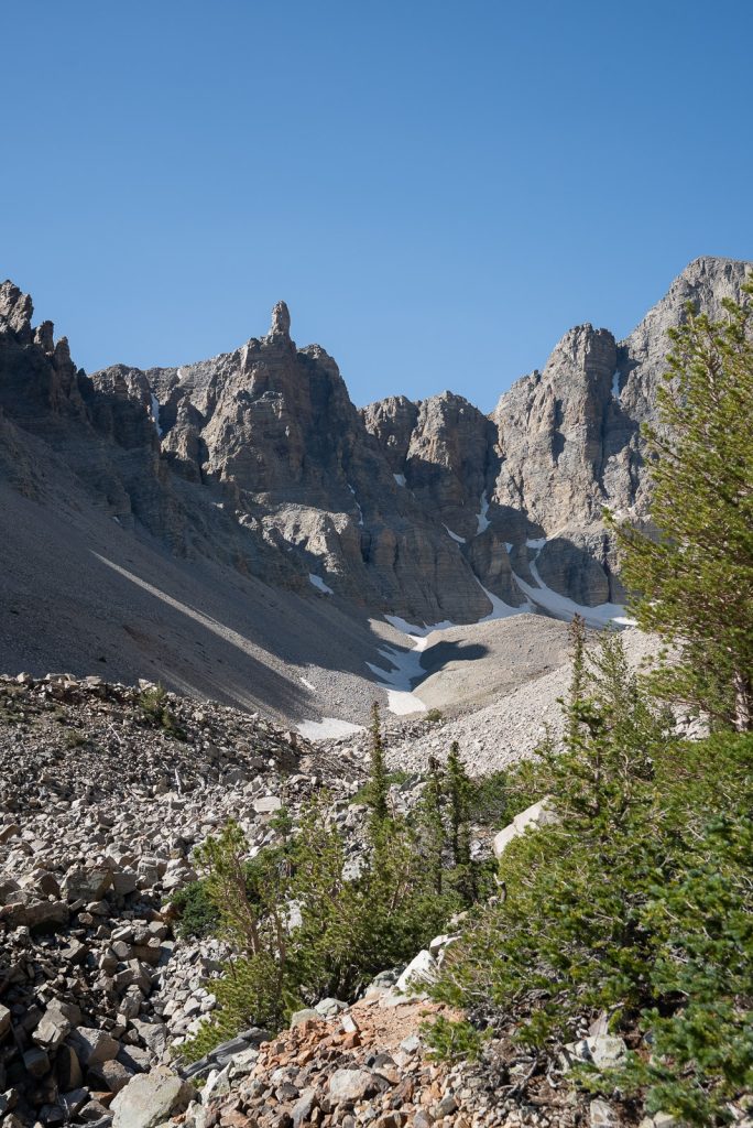
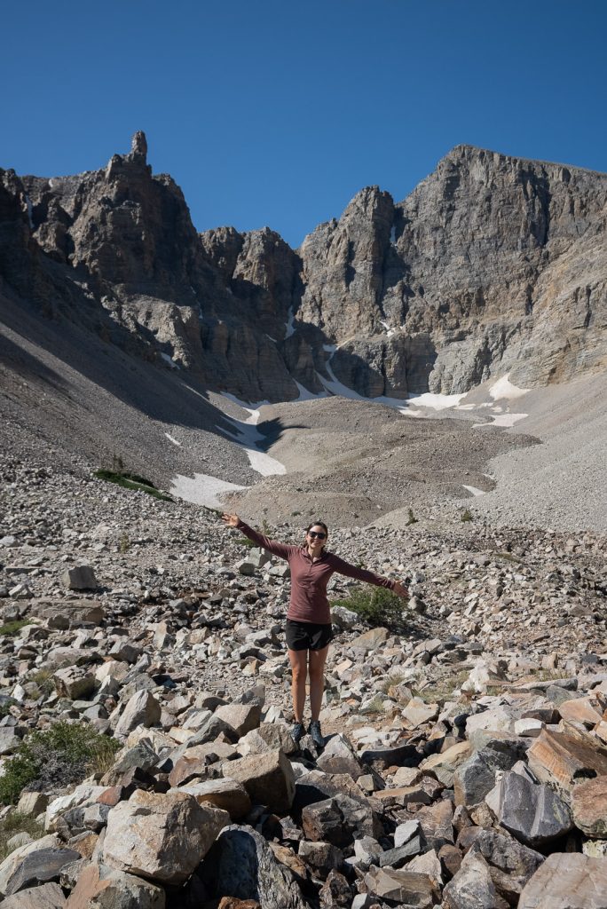
The Wheeler Peak Glacier is the only glacier in Nevada and one of the southernmost in the US. And hiking to it is a must while in Great Basin National Park!
To get to the glacier, you will follow the Bristlecone and Alpine Lakes Loop, which also takes you by both alpine lakes and the Bristlecone Pines. It’s the ultimate hike in Great Basin National Park, offering such a wide mix of scenery along the way!
But be warned, the last part of the trail, after leaving the Bristlecone Pines, is pretty rugged and rocky, taking you to over 10,900 feet! So make sure to have good shoes on, plenty of water, and pace yourself. Breathing is quite a bit tougher up here!
The Wheeler Peak Glacier itself is very small (about 2 acres) and looks more like a patch of snow than glaciers you can find in Alaska. But it’s still well worth a visit, just for the mountain views alone. At the end of the hike you will essentially be in a bowl, surrounded by some very rocky and jagged peaks!
7. Lehman Creek Trail
Miles (round trip): 6.6
Elevation (feet): 2,030
Where to Park: Lehman Creek Trail
Reviews & Current Conditions
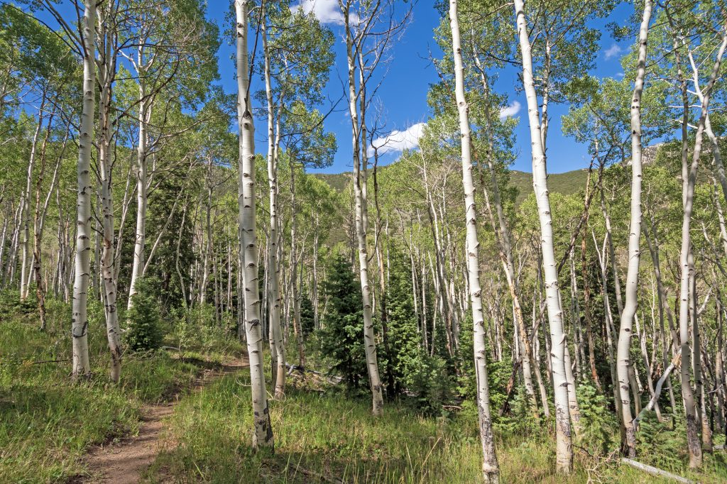
The Lehman Creek Trail is another great hiking option in the higher altitude area of the park, starting at around 7,000 feet at the Upper Lehman Creek Campground and climbing all the way up to over 9,800 feet, to the Wheeler Peak Campground. It’s no walk in the park!
Along the way you’ll walk through the trees and along the creek, with sporadic views of the area.
We personally wouldn’t hike the entire trail, unless you want a good workout. Instead, we’d hike about 1.8 miles to a meadow with gorgeous views. And then if the road to the Wheeler Peak Campground is open, drive up the rest of the road and explore that area along different trails.
However, if the road is not fully open yet, this trail is your only option to reach the higher elevation destinations, like the Bristlecone Pines and alpine lakes. But keep in mind that these trails could be snow covered if you go early in the season, so only attempt those if you have proper snow hiking gear.
8. Pole Canyon Trail
Miles (round trip): 6.7
Elevation (feet): 1,584
Where to Park: Pole Canyon Trailhead
Reviews & Current Conditions
Pole Canyon Trail is a hike that really shows off just how diverse Great Basin National Park can be. There’s cliffs, creeks, meadows, forests, and sweeping mountain views all in one hike. The trail is well-marked and in great condition, with a steady climb that eventually turns steep near the top, giving it just enough challenge without being overwhelming.
Along the way, you’ll cross streams, pass through birch groves and open meadows, and maybe even spot wildlife like deer or wild turkeys. The full route is around 7 miles and can take about 4 hours, but some people choose to turn around early just to repeat the most scenic sections, since the last two miles are along a dirt road near the campgrounds. If you’re lucky, you might have the trail completely to yourself, which makes this already beautiful hike feel even more special.
Longer Hikes in Great Basin National Park
9. Wheeler Peak Summit Trail
Miles (round trip): 8.7
Elevation (feet): 2,906
Where to Park: Summit Parking Lot
Reviews & Current Conditions
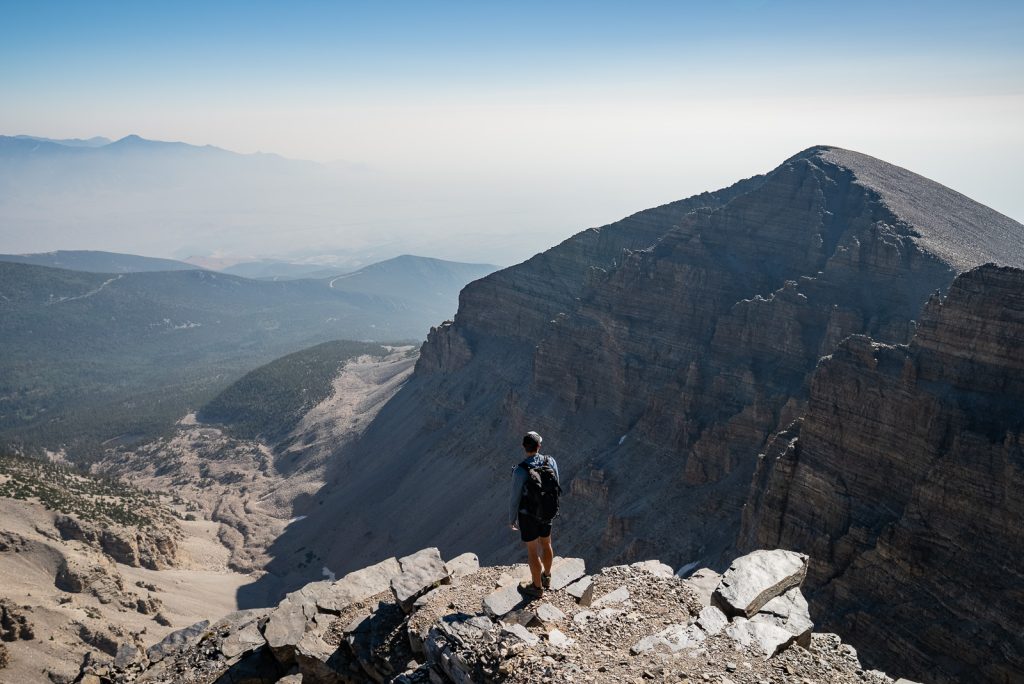
One of the ultimate hiking experiences in Great Basin National Park is summiting Wheeler Peak. This is the second tallest peak in Nevada at 13,065 feet, just 82 feet shy of the state’s highest point, Boundary Peak.
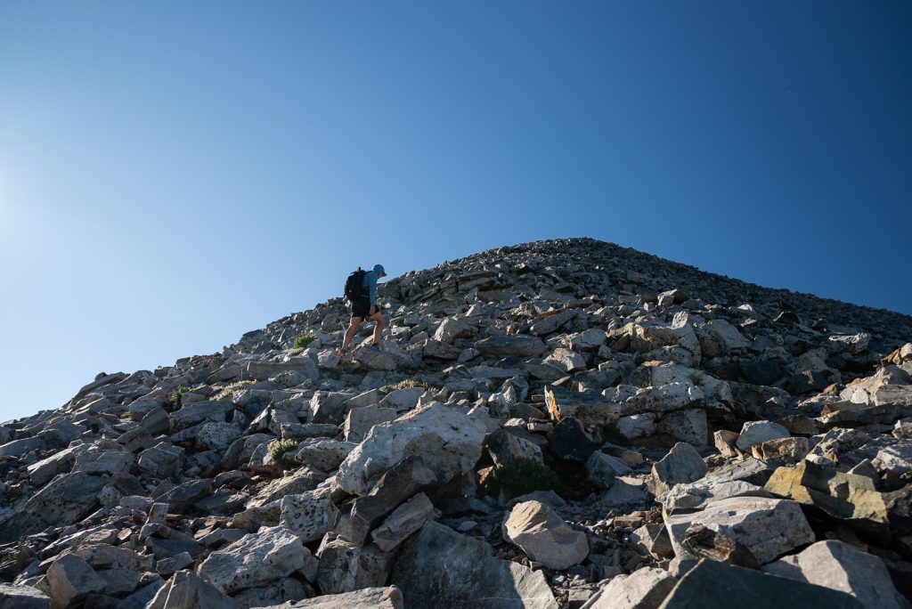
And getting to the top is a doozy! The trail gains over 2,900 feet in around 4.25 miles (one way), all while at a higher elevation, so breathing is tough. Despite being pretty experienced hikers, including at altitudes above 11,000 feet, this hike kicked our butts a bit and we were moving very slowly at the end. Especially because the trail is extremely rugged and rocky.
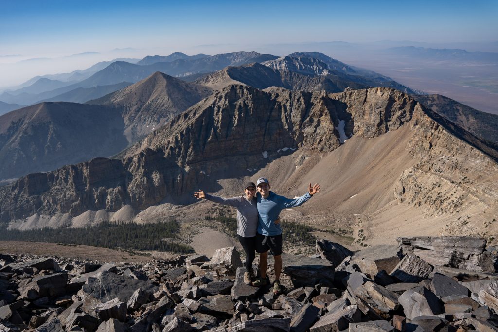
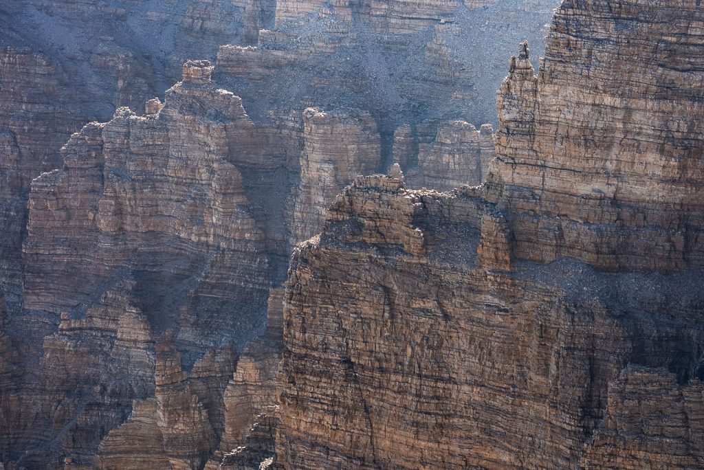
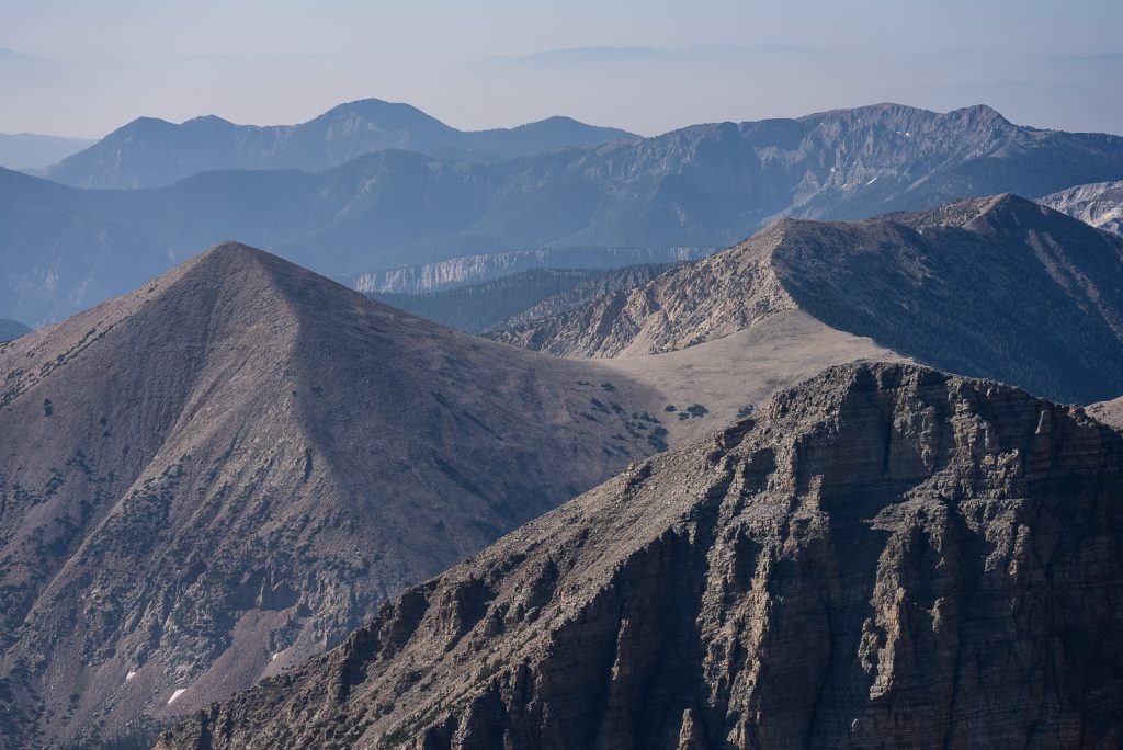
However, it was more than worth the struggle to stand at the top of the park! From here you can see the park’s lakes, the valleys below, Wheeler Peak Glacier, and tons of mountains in the distance. Fun fact: Nevada has 314 named mountain ranges, which is more than any other state (crazy, huh?!). And from the top, you can see quite a few of them.
While hanging out at the summit, look for the small rocky enclosure. This is intended to act as a small shelter if it’s windy at the top, which it often can be. But inside this enclosure you’ll find a mailbox, which has a logbook. Make sure to sign it!
A+K Tip: Start this hike before sunrise so you can see the sunrise on the way up! We packed coffee to make along the way, which was the perfect way to start the day (and a nice break). Plus, with this trail’s exposure, you will want to get to the top as early as possible. The sun and heat will only make this tougher!
10. Baker Lake-Johnson Lake Loop
Miles (round trip): 12.5
Elevation (feet): 3,717
Where to Park: Baker Creek Trailhead
Reviews & Current Conditions
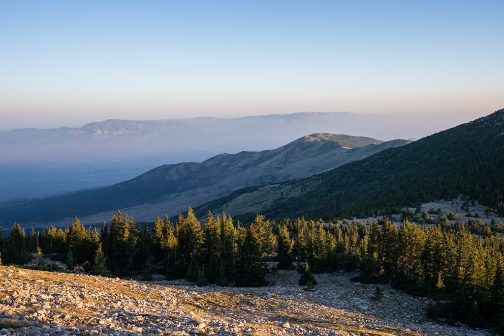
For another tougher and longer hiking experience, tackle the Baker Lake-Johnson Lake Loop! This 13.1 mile loop takes you by two small alpine lakes, up Pyramid Peak, and has a wide mix of scenery along the way. It will take the entire day to complete, so make sure to start early!
But if you want to spend more time along the trail, it can be done as a one night backpacking trip as well. To do this, you will need to get a backcountry permit. These permits can be obtained at the visitor center and are free. We hope to backpack this trail next time!
Things you Need to Know Before Hiking in Great Basin
Before you head to Great Basin National Park, there are a few key things you’ll want to know! Some of these are absolute musts for planning a smooth trip, while others are tips we’ve picked up that can make your hikes way more enjoyable.
When to visit Great Basin National Park
Great Basin National Park is open year round, but the best time to visit is between June-early October. This is when the majority of the best trails in Great Basin National Park are open and accessible!
If you visit before Memorial Day, you’ll be a lot more limited with what you can do in the park. And in our opinion, you will miss the best hikes in Great Basin National Park.
However, during the June-October time frame, there are some months that are better than others, depending on what you want to do. The Wheeler Peak Scenic Drive usually opens by Memorial Day, but the trails near the top can still be snowy through June. So if hiking the higher elevation trails, especially Wheeler Peak, is top priority, we’d suggest visiting in July at the earliest.
And if you want to see the park’s amazing fall foliage, head to the park at the end of September or early October!
Getting to Great Basin National Park
Despite being one of the least visited National Parks in the United States, Great Basin National Park is actually not that hard to get to. Especially if you don’t mind a little bit of driving!
The park is located in eastern Nevada, right by the Utah border. While there are no major cities super close by, the park isn’t that far from both Las Vegas and Salt Lake City. Salt Lake City International Airport (SLC) at just under 4 hours away and the Las Vegas Harry Reid International Airport (LAS) at 4.5 hours away. Once arriving, you will need torent a car to head into the park.
Great Basin National Park is located along the Loneliest Road in America, also known as Highway 50. This route runs from Carson City, near Lake Tahoe, all the way to the park. It’s just over a 6 hour drive, but is filled with so many fun stops along the way! So we highly recommend spending a few days to experience it.
Great Basin National Park also makes for a great stop when road tripping around the Southwest National Parks. It’s only a 3 hour, 15 minute drive from Zion National Park and 5 hours from Canyonlands and Arches National Parks.
America the Beautiful Pass
If you will be visiting more than one US national park in one year, your best value is to buy the America the Beautiful pass in advance. This pass gets you free entry to all national parks for one year. So use it as much as you can and explore multiple national parks in the next 12 months!
Where to Stay in Great Basin National Park
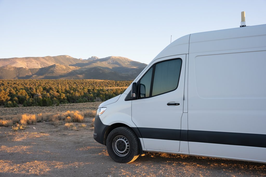
Great Basin National Park is located in Baker, Nevada. Which is a very tiny town, with limited amenities and lodging. In our opinion, the best way to visit Great Basin National Park is to camp! The park has 5 campgrounds to choose from. Most campgrounds are only open seasonally and rigs over 24 feet are not allowed at the Wheeler Peak Campground.
These campgrounds offer convenience, but are pretty bare bones. The only amenities are picnic tables, fire rings, and pit toilets. There are no hookups, potable water, or showers. If you need a dump station, there is a paid ($10) dump station near Lehman Caves. And in Baker you can find a dump station ($5) and free potable water.
If you prefer a hotel, your best bet is the Stargazer Inn. Stargazer Inn also offers paid showers ($3 per person), which was so clutch during our visit! You can pay for these at the Bristlecone General Store. They also have a small laundry room too!
We personally decided to camp outside the park at the Sacramento Pass BLM Campground. This is a super nice FREE campground with toilets, a dumpster, and a small pond, plus mountain views. There is an upper and lower level and each campsite has a picnic table (most are covered), plus a fire ring. We also found some great dispersed spots here!
However, the downside of this campground are the mice. We saw lots of mice running around and even had two IN our van, which caused us some sleepless nights. So if you camp here, make sure to bring some supplies to deter mice if needed. While no reviews seem to mention mice, they were a big hassle for us. Maybe we just got unlucky!
How much time do you need in Great Basin National Park?
To experience some of the best hikes in Great Basin National Park, we’d suggest spending a minimum of two days.
With two days in the park, you can spend the morning driving the Wheeler Peak Scenic Drive and hiking to the alpine lakes, Bristlecone Pines, and glacier. Plus go on an afternoon cave tour. While your second day could be spent hiking Wheeler Peak and stargazing!
With more than two days you can add on other hikes, like the Baker Lake-Johnson Lake Loop or some of the lower elevation hikes. Or just move at a slower pace!
Reservations and Permits
Great Basin National Park does not require reservations for entering the park. So you are free to come and go when you please as long as you buy a park pass at the gate or the America the Beautiful Pass in advance.
What to Bring to Great Basin National Park
First and foremost, we always recommend that you pack the 10 essentials. A few other key items that are important to have on the best hikes in Great Basin National Park are hiking shoes, layers (it can get very cold, even in the summer!), a headlamp, sunscreen, plenty of water, electrolytes, and AllTrails maps! We highly recommend the AllTrails Plus membership so you can download the map (use our code aplusk30 for 30% off!). There’s not usually great service on the trails!
Looking for more things to do in Nevada?
Save this Guide to the Best Hikes in Great Basin National Park
Pin this guide on the best hikes in Great Basin National Park so that you can find it again later!