Last updated on August 30th, 2026
Glaciers, bears, and mountains, oh my! In this guide we’re sharing how you can experience the epic Stewart-Cassiar Highway!
On our way up to Alaska we drove the iconic Alaska Highway, which was full of breathtaking views and unique stops. But for the drive back down to the lower 48, we wanted to see new scenery. So we hopped onto the Stewart-Cassiar Highway and WOW, what a journey!

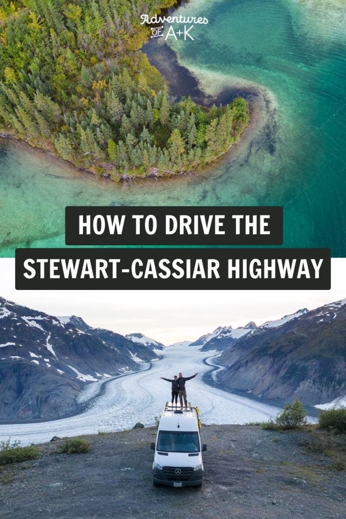
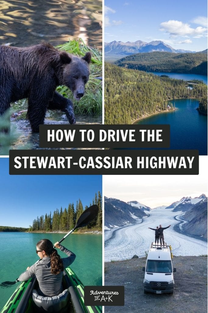
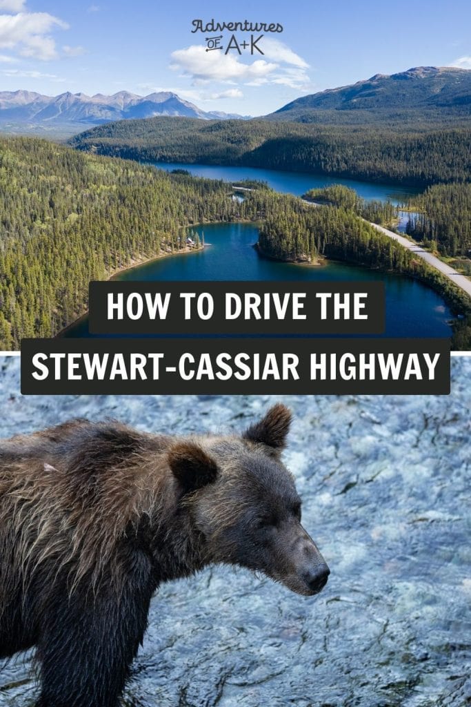
In the span of a few days we kayaked on a Caribbean blue lake, drove past stunning mountains, camped overlooking a huge glacier, and the highlight of it all…watched a brown bear fish for salmon. Our time on the Stewart-Cassiar Highway was full of wild and dramatic natural scenes. And we’re not exaggerating when we say that it was one of the best few days of our lives. In fact, even if you’re not going to Alaska, we highly recommend driving this road trip just to experience some of the most beautiful regions of British Columbia!
However, similar to the Alaska Highway, Stewart-Cassiar Highway is a remote drive with limited services. And tackling it can be a bit daunting. But we’re here to help!
In this guide we’re sharing everything you need to know to drive the Stewart-Cassiar Highway, including the best stops, services along the way, what to bring, and so much more!

Looking for more things to do in Canada and Alaska?
- The ULTIMATE guide to driving the Alaska Highway
- How to drive the Dempster Highway to the Arctic Ocean
- 30+ BEST Places to Visit in British Columbia (From PNW Locals!)
- How to have an EPIC 10 Day Vancouver Island Road Trip!
- International Selkirk Loop: An Epic US & Canada Road Trip!
- 12+ FUN Things to do in Tofino on Vancouver Island (+ 3 day itinerary)
- The BEST things to do in Campbell River on Vancouver Island
- Sea to Sky Highway Road Trip: The Best Stops from Vancouver to Whistler (+Itineraries!)
- 3 Days in Vancouver
- Backpacking at Garibaldi Provincial Park
- Watch our Canada vlogs and Alaska vlogs!
- About the Stewart-Cassiar Highway
- Which is better? The Stewart-Cassiar Highway or Alaska Highway?
- How to get to the Stewart-Cassiar Highway
- How long does it take to drive the Stewart-Cassiar Highway?
- What type of vehicle do you need for the Stewart-Cassiar Highway?
- When to drive the Stewart-Cassiar Highway
- Important things to know before driving the Stewart-Cassiar Highway
- What to bring to drive Stewart-Cassiar Highway
- A complete breakdown of the Stewart-Cassiar Highway
- Alaska Highway/Cassiar Highway Junction (KM 0)
- Welcome to British Columbia/Yukon Sign (KM 3.4)
- Tā Ch’il ā Provincial Park, formerly Boya Lake (KM 85)
- Tā Ch’il ā Provincial Park to Jade City (KM 85 to 121.3)
- Jade City (KM 121.3)
- Jade City to Dease Lake (KM 121.3 to 235.2)
- Dease Lake (KM 235.2)
- Iskut (KM 317.7)
- Kinaskan Lake Provincial Park (KM 358.7)
- Bell 2 Lodge (KM 474.7)
- Meziadin Junction (KM 567.9)
- Stewart-Hyder Access Road (Highway 37A)
- Stewart, BC
- Hyder, AK
- Meziadin Junction (KM 567.9)
- Gitanyow (KM 702)
- Kitwanga (KM 719.4)
- Junction with Yellowhead Highway (KM 723.7)
- Our Exact Stewart-Cassiar Highway Itinerary
About the Stewart-Cassiar Highway
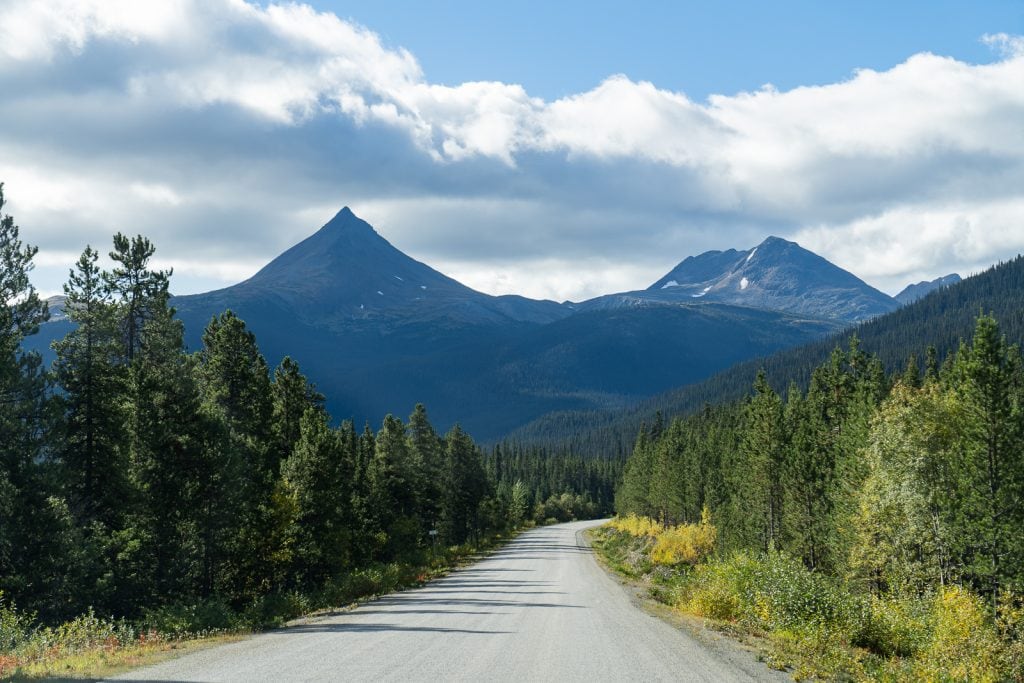
The Stewart-Cassiar Highway (BC 37) traverses 450 miles from Kitwanga on the Yellowhead Highway in British Columbia to the Alaska Highway in the Yukon Territory, just minutes west of Watson Lake.
The highway was originally constructed as an extension of the Alaska Highway in order to reach the Cassiar mining district. Over time, more sections were completed and the road is now fully paved (minus a small section of gravel) and acts as one of the only two routes to access Alaska by vehicle.
Along the way you’ll encounter small towns, beautiful lakes, endless mountain views, and wildlife. Plus, there is even a chance to detour off the main highway (on BC 37A) to Stewart, British Columbia and Hyder, Alaska. Which is a MUST in our opinion!
Which is better? The Stewart-Cassiar Highway or Alaska Highway?
The Stewart-Cassiar Highway and Alaska Highway are the only two routes to drive to Alaska. And when planning your drive to Alaska, you’ll likely run into the dilemma of which route to take.
And our answer is…take both! While both highways have beautiful mountains, lakes, and a great chance to see wildlife, they do offer different experiences. The Alaska Highway has hot springs, delicious cinnamon buns, and a unique sign post forest. While the Stewart-Cassiar Highway has glaciers, delicious fudge, and a more guaranteed chance to see bears.


Our recommendation is to drive the Alaska Highway up to Alaska, especially if it’s your first visit, as it’s more iconic and historic. Standing at the “you’re now entering the Alaska Highway” sign in Dawson Creek was such an exciting feeling that we would’ve hated to miss out on!
Check out our detailed guide to driving the Alaska Highway to learn more about this route to Alaska, what to expect, our favorite stops, and more!
And then on the way back south, drive the Stewart-Cassiar Highway. Technically you do have to drive part of the Alaska Highway to even get to the Stewart-Cassiar Highway, so this will give you a chance to possibly revisit some favorite spots on the way back too!
How to get to the Stewart-Cassiar Highway
Being a remote highway in the wilderness of British Columbia, getting to the Stewart-Cassiar Highway requires a bit of a trek in itself. Here’s a rundown of how to get to both the northern and southern end!
How to get to the northern end
The northern end of the Stewart-Cassiar Highway starts in the Yukon Territory. But just minutes after driving the highway you’ll enter British Columbia!
Compared to the southern end, this end of the drive is a lot more remote. There are zero major cities nearby, with Whitehorse being the largest and only true city.
To get to the northern starting point, you will need to travel the Alaska Highway and turn south onto Highway 37. Here’s how long you can expect to drive from nearby destinations:
- Watson Lake, YT: 15 minutes (21 km | 13 miles)
- Whitehorse, YT: 4.5 hours (416 km | 258 miles)
- Alaska border: 10 hours (893 km | 555 miles)
You may notice that this section of the highway is called the Dease Lake Highway on Google Maps. This is just another name for the first part of the Stewart-Cassiar Highway!
Looking for more information on the stretch of the Alaska Highway up until it intersects with the Stewart-Cassiar Highway? Check out our detailed guide to driving the Alaska Highway.
How to get to the southern end
The southern end of the Stewart-Cassiar Highway is located about halfway up British Columbia. While closer to major cities than the northern end, it’s still quite a bit of a trek. And to get to the starting point, you’ll need to travel the Yellowhead Highway in British Columbia and then turn north onto BC Highway 37 near the town of Kitwanga.
To get to the southern starting point, here’s how long you can expect to drive from nearby destinations:
- Smithers, BC: 1 hour, 15 minutes (110 km | 68 miles)
- Prince George, BC: 5 hours, 20 minutes (481 km | 299 miles)
- Jasper National Park: 9 hours (855 km | 531 miles)
- Vancouver, BC: 13 hours, 45 minutes (1,257 km | 781 miles)
- Calgary, AB: 13 hours, 45 minutes (1,266 km | 787 miles)
How long does it take to drive the Stewart-Cassiar Highway?
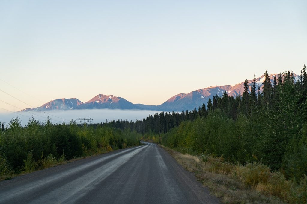
According to Google Maps, driving the Stewart-Cassiar Highway without any stops takes a little over 8 hours one way. However, with quite a few beautiful and unique things to see, you will want to make stops. Plus, road conditions and construction can make it take longer.
We drove the entire Stewart-Cassiar Highway (from north to south) in about 3.5 days. This gave us time to enjoy the sights and attractions along the way, without feeling rushed. We will share our exact itinerary at the very end of this guide, but we would recommend at least 3 days!
What type of vehicle do you need for the Stewart-Cassiar Highway?

Just about any vehicle will work on the Stewart-Cassiar Highway. Having a high clearance vehicle is a plus, but not completely necessary. We saw all types of vehicles along the way!
However, in our opinion, the best vehicle would be a van, truck camper, or small RV. By having a home on wheels, you can be super flexible about where you drive everyday, since you’ll have more sleeping options. And you will also be able to have more comfort along the way! Besides the type of vehicle, here are some other things to consider before driving the Stewart-Cassiar Highway.
Do you need 4×4?
You do not need a 4×4 to drive the Stewart-Cassiar Highway. Our van is RWD and at no point did we feel we needed 4×4, even on the road to Salmon Glacier. But having high clearance definitely was helpful.
Make sure your vehicle is in good condition
The most important thing before driving the Stewart-Cassiar Highway is to ensure your vehicle is ready for the challenge ahead. Make sure your tires are in good condition, plus carry a spare, have your fluids topped off, and have any required services completed before you set off.
When to drive the Stewart-Cassiar Highway
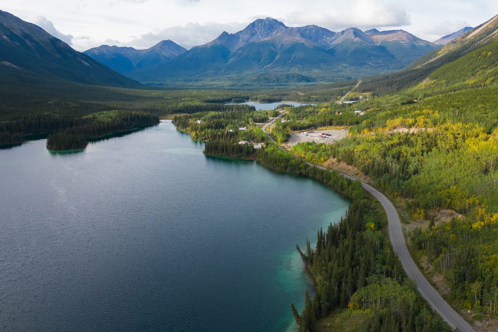
The Stewart-Cassiar Highway can be driven year round, but many of the businesses and campgrounds are only open in the summer months.
In our opinion, the best time to drive the Stewart-Cassiar Highway is from early June to mid September. But July through mid September is even more ideal, as this is when bear watching is the best. If you arrive any earlier than June, there may be snow on the roads still.
We drove the Cassiar September 9-13, 2022 and these dates were perfect! Going earlier would work great as well, but we wouldn’t suggest it any later. September is towards the end of the season for small businesses and bear watching.
This guide is written based on our experience in the late summer. If you plan to make this journey outside of the timeframe we suggested above, you’ll need to do a lot more planning and preparation to ensure you’ll have enough food, fuel, water, and any other necessities along your route.
Important things to know before driving the Stewart-Cassiar Highway
Road conditions
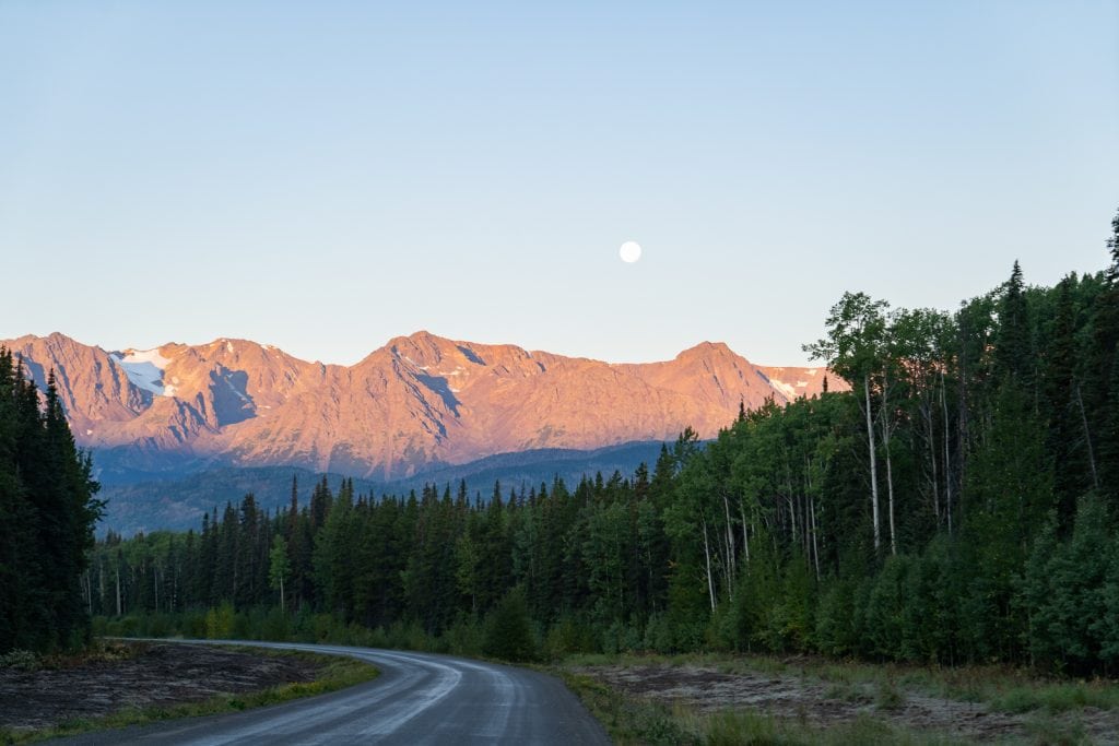
The Stewart-Cassiar Highway is almost 100% paved, minus a small section of gravel and possible construction. There is also an optional fully gravel section to get to the Salmon Glacier, which we will admit is pretty rough. More on that later!
The highway has two lanes the entire way and you will encounter areas with no centerline or shoulder line markings, mostly on the northern half.
Construction
The road was in pretty good condition when we drove it, but there is always the possibility of construction, frost heaves, potholes, soft shoulders, snow, ice, etc.
No matter the season you are driving, road conditions and weather can change rapidly. Keep an eye on the road conditions and check the BC 511 website for updates.
Frost Heaves
In Canada and Alaska the extreme winter weather causes frost heaves in the road, which are like speed bumps in the middle of the highway. As you can imagine, hitting a speed bump at 60 mph will not be good for your vehicle. Frost heaves are a big reason for lots of construction. Make sure to stay alert and watch for these!
We personally did not find the frost heaves to be bad, but we had upgraded our suspension on our van and drove slowly, but we know some RVs find them very unenjoyable.
Pull offs and viewpoints
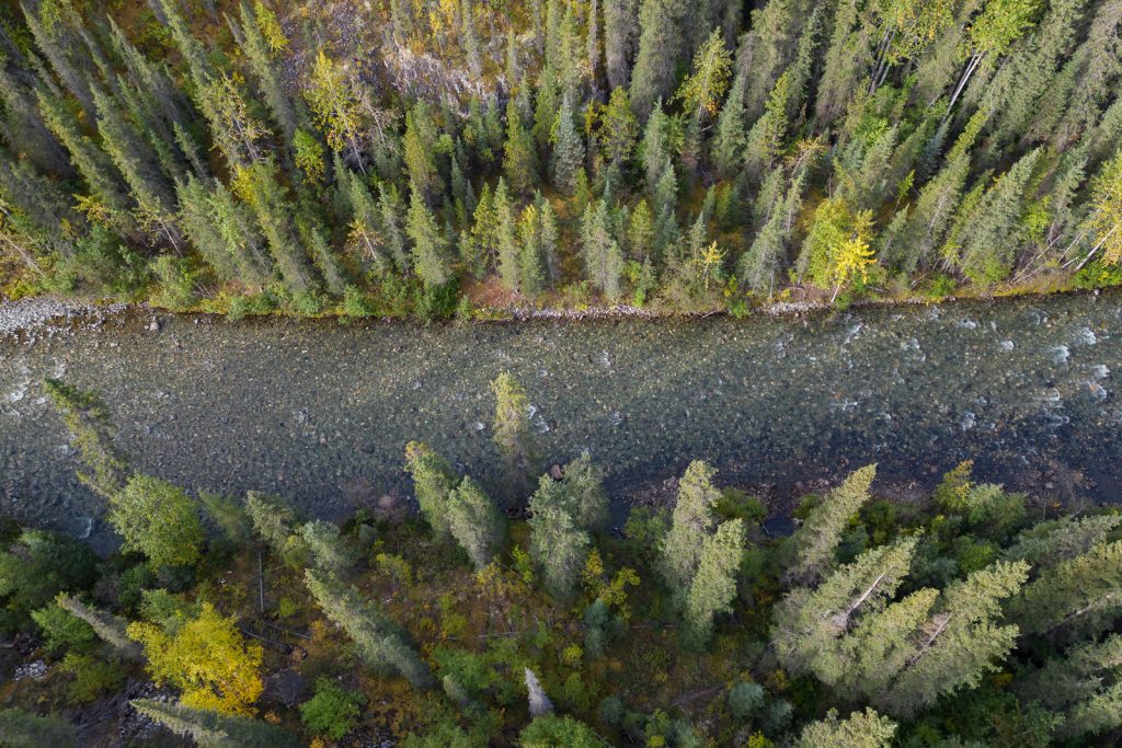
Our one complaint about the Stewart-Cassiar Highway is there aren’t as many pull offs and viewpoints to take in the gorgeous mountains and lakes as we would have liked. So be prepared to enjoy a lot of the scenery while moving. We’re listing some great spots to enjoy the scenery further down in this guide!
Cell Service + Internet
Cell service was spotty to non-existent during much of the drive. In towns, you won’t have many options to find Wi-Fi, but you will have cell service.
Below is some information on our internet setup and experience with connectivity on the Stewart-Cassiar Highway.
Our internet set up
When we did the Stewart-Cassiar Highway in 2022, we relied solely on data plans through cell phone providers to have internet on the road.
We have Verizon Wireless for our phones and were able to connect to Canadian providers for free with our plan, utilizing the same text and talk allowances (unlimited) we have back in the United States.
But for data, Verizon Wireless only gave us 2 GB of high speed data per day, per device (we have two cell phones, plus a Verizon hotspot device), which runs out quickly, as we rely on data for work.
We also have an AT&T hotspot device, but unfortunately it was not eligible for any international data, so we couldn’t use it at all. In the past when we had AT&T phones, we were able to use our phones normally in Canada, unlimited data and all.

Starlink
Have Starlink? You’re in luck! As of 2023, Starlink now has coverage all the way up in the North Country, including the Yukon and all of British Columbia. During our visit in 2022, Starlink only covered about halfway up British Columbia, so it was not worth the investment for us.
We do have Starlink now and HIGHLY recommend it if you need to work from the road! If we ever do the Stewart-Cassiar Highway again, this would allow us to spend more time out there in the future. And acts as an additional safety feature if you need to contact someone for help!
Services along the Stewart-Cassiar Highway
The Stewart-Cassiar Highway is a remote experience and there are limited services. Here’s a rundown of what to expect, but we’ll share specific services you can find later on in this guide!
Fuel
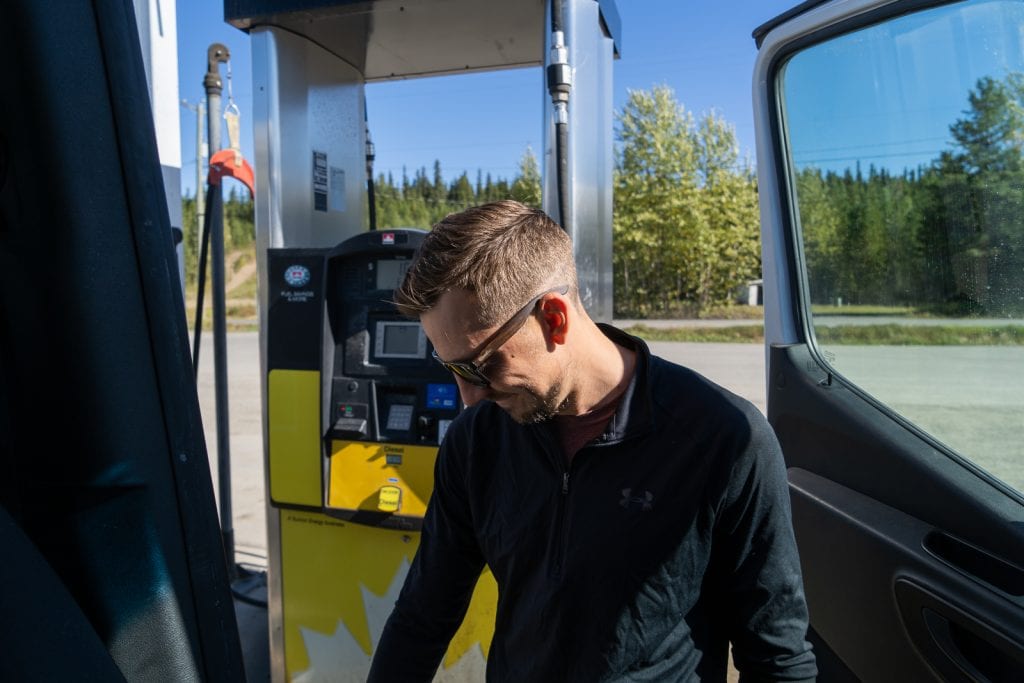
A general rule of thumb for fuel in this part of Canada is to never let your tank get below half full. It is recommended to fill up at every opportunity. We did find that there were a lot more opportunities to refuel than we had heard. And we’ll share different fuel stops later on in this guide!
Just in case your vehicle has a small fuel tank, you lose track of your fuel level, or the gas station you were banking on is unexpectedly closed, it might be a good idea to carry extra fuel. We brought 2 two gallon Rotopax fuel canisters for our adventures, but never had to use them. Although, we do have a 24 gallon diesel tank and get about 20 MPG, so we can go for long distances without needing fuel.
Grocery stores
You won’t find any major grocery stores along the highway. They’ll mostly be glorified convenience stores. So make sure to stock up on meals and snacks beforehand!
If you’re coming from Alaska, we’d recommend stocking up in Whitehorse before hitting the road. Coming from the Yellowhead Highway? Smithers and Prince George will be your biggest towns with a large grocery store.
Laundry
We didn’t personally do any laundry along the Stewart-Cassiar Highway, but some campgrounds do have laundry facilities and we will note those in our breakdown below.
Where to sleep
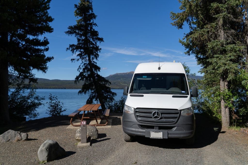
Since this is a road trip, your lodging will change every night. It seems that most travelers on the Stewart-Cassiar Highway are RVers or van lifers, so you will stay in your home on wheels, but the location of your home will vary. There are a mix of paid campgrounds and free, boondocking spots along the route, including BC recreation sites. For our drive, we did a mix of paid and free camping and got to stay at some beautiful spots.
Curious how we find free campsites? Check out our detailed guide to free camping to learn which tools we use, rules to follow, and other tips!
Not wanting to camp? You can find some lodges and motels as well. We will list multiple lodging options under our breakdown of the highway below!
Wildlife
If you’re lucky, you’ll see a lot of wildlife along the Stewart-Cassiar Highway! The area is home to caribou, stone sheep, eagles, and of course, bears (black and brown). So make sure to stay alert and slow down if you notice any near the road.
Bugs
One thing you may hear a lot about when heading north are mosquitoes. However, we didn’t find them to be too bad overall. We traveled later in the season so that probably helped. We hear they can be pretty ferocious at times, though! So make sure to be prepared to fight off the little bloodsuckers!
What to bring to drive Stewart-Cassiar Highway

Tire repair kit and a spare
Make sure you pack a tire repair kit and have at least one spare tire for your trip.
Important: British Columbia requires passenger vehicles have winter tires between October 1 and April 30 on the Stewart-Cassiar Highway.
Roadside emergency kit
We recommend bringing a roadside emergency kit, which will have jumper cables, first aid supplies, a roadside warning sign, emergency blanket, tow strap, and more!
Fluids for your vehicle
Make sure to carry any fluids you might need to keep your vehicle running smoothly, like DEF for the diesel folks out there. Or top off with everything you need beforehand!
Enough food and water
There are limited places and communities to eat and get groceries along the way. Make sure to stock up before you get to the Stewart-Cassiar Highway!
It’s a good idea to carry more food (and water!) than you think you need, especially non perishable items, just in case you break down or you decide to spend more time in one area.

The Milepost
The Milepost is known as “the bible of North Country travel” and is a large, annual travel guide to all of the routes to and in Alaska, with mile by mile descriptions and information about lodging, where to eat, things to see and do, and tons more.
Anytime you mention driving to Alaska, you will be told to buy The Milepost. Some people had told us they had it open as they drove and followed along mile by mile, but we never opened it once while driving.
In our opinion, while The Milepost is useful, it is also very overwhelming and includes much more information than we felt we needed, which caused us to spend a lot of time sifting through it for the information we wanted.
We’d still buy it again and suggest you do the same, but we personally used it more as a research tool before driving the Alaska Highway, not during. However, we are very much planned travelers, so spontaneous travelers may feel differently.
We spent many hours before driving the Stewart-Cassiar Highway, researching things to do, checking hours, and making a day by day itinerary, including where to stop for fuel. And while The Milepost did help us figure out stops to make and where to get fuel, we also found many more stops by watching YouTube videos and reading blogs (like ours!). 😃
Download offline maps & documents
Since you may not have cell service for multiple days of the drive, we highly suggest downloading offline maps (both Google Maps and AllTrails maps), plus any documents you may need before you hit the road. We kept our itinerary on a Google Sheet, so we made sure to have that downloaded, plus the routes for any hikes we wanted to do.
Want to get 30% off an AllTrails Plus membership? Use our code aplusk30 (you must redeem this code on the website, not the app)!
We use AllTrails Plus on every single hike and it is the most helpful hiking tool out there! Some of the features we love are offline maps (so we can navigate even without cell service), wrong-turn alerts, and its 3D maps feature, so we can get a feel for trails before we hike.
Satellite Device
We always carry our Garmin inReach Mini when we hike or backpack. It has come in handy several times on our adventures, mostly to text family (not for SOS reasons thankfully)! But it was also a useful tool for this drive. We used it daily to keep our family updated on our drive, when we didn’t have cell service.
Hiking Gear
If you’re doing any hiking, make sure to bring the appropriate hiking gear with you (see what all we take here!). We also always recommend having the 10 essentials on you, which can come in handy both for hiking or for your road trip!

Binoculars
You’re likely to see lots of wildlife along the highway and having binoculars is a must! Adam has these Bushnell H20 Roof Prism binoculars and we love them!
Bear spray
There is plenty of wildlife to see when driving the Stewart-Cassiar Highway, especially bears. We were lucky to see a momma brown bear and cubs on the Stewart/Hyder access road and a black bear crossing the road in Hyder. Thankfully these were at safe distances from the van, but we always carry bear spray in bear country, just to be safe

Bug repellant
Although we didn’t experience much of a problem with bugs and mosquitos compared to what we expected, they can be notoriously thick in the North Country. For our trip we brought a Thermacell and bug spray with DEET.
Podcasts and music to listen to
No road trip is complete without some groovy tunes and fun podcasts! Make sure to download any podcasts or music for offline use.
Camera
You will definitely want to bring a camera with you on this adventure! Any camera will work great, but if you’re curious what cameras and gear we use, check out our gear list.
Cash
Many of the campgrounds and some businesses along the way only take cash, so make sure to have some Canadian currency on you!
Inflatable kayak or SUP board
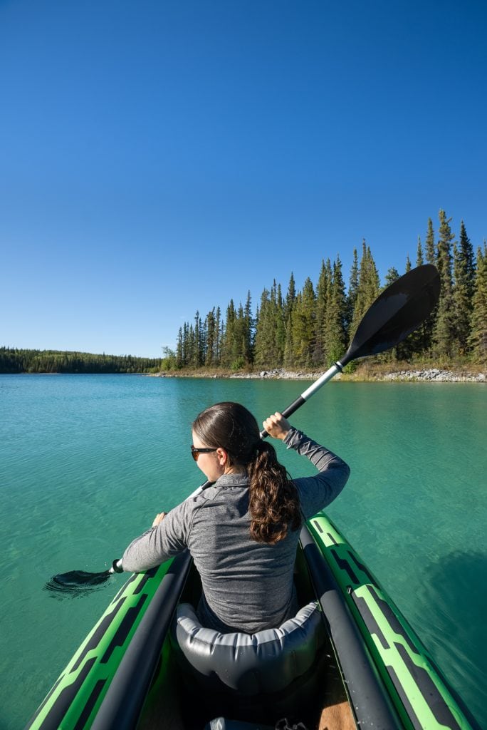
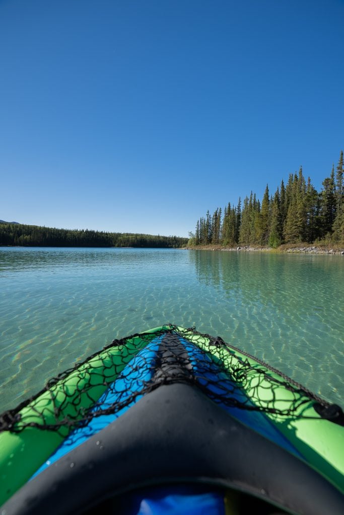
Another nice to have, but not required, item is a kayak or stand up paddle (SUP) board. There are tons of bodies of water along the highway. And some areas do not have the option to rent, so you can only go out if you have your own watercraft.
We have an inflatable kayak and it has worked super well! Just don’t take it in super shallow water that has sharp objects. Don’t ask us how we know. 😉
If you’d rather have a SUP board, our friends have these boards and we have always loved using them!
Dry bag
If you plan to get out on the water, make sure to bring a dry bag! We use the Remote Designs 20L roll top bag for our dry bag and LOVE it. It is very high quality!
Fishing license
If you plan on fishing along the way, make sure to purchase the appropriate fishing license before you go and read up on the regulations. You can find info for a BC fishing license here.
A complete breakdown of the Stewart-Cassiar Highway
For the next part of this guide, we’re breaking down the Stewart-Cassiar Highway by section or landmark, with details on what to expect, any amenities and services, things to do, and places to stay.
Since we drove the Stewart-Cassiar Highway on our way back from Alaska, this guide is written from North to South.
We have also created a custom Google Map above, which will include the majority of the stops we are listing below. You can download this map to your phone and be able to access it while on the road!
Note: This information below is all based on our visit in 2022. While we have double checked information while writing this guide, we cannot guarantee that things will be the same for future years.
Alaska Highway/Cassiar Highway Junction (KM 0)
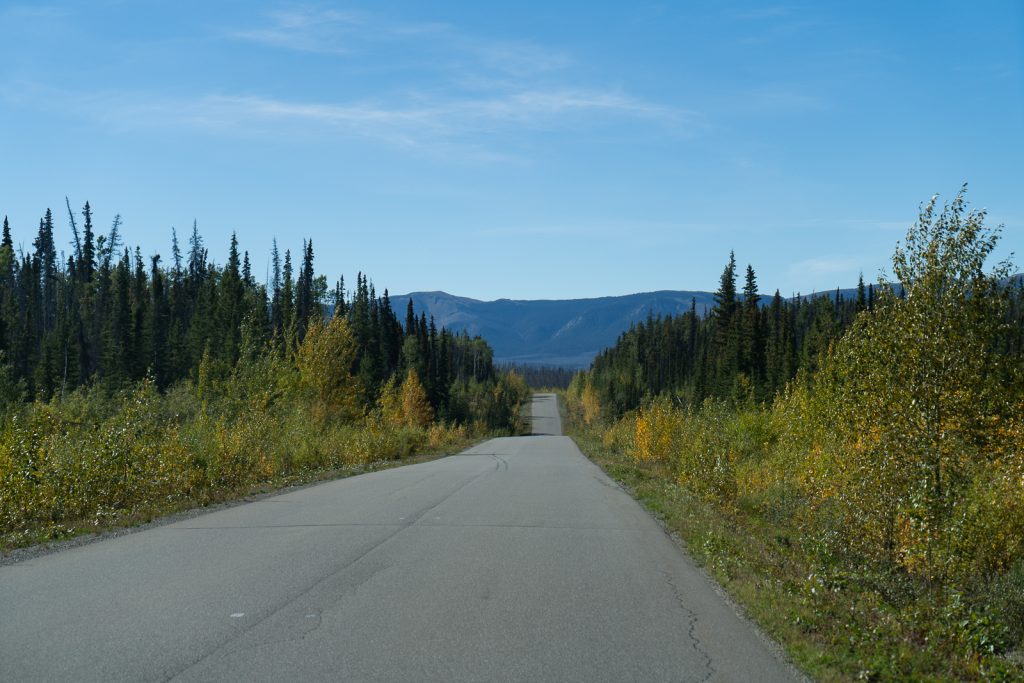
This is the beginning of your incredible journey! There isn’t much to see at this spot, but don’t worry the beauty is coming soon! If you need to fuel up, do so here.
Services
Fuel: Junction 37 Services, Nugget City Gas Station
Where to stay
Here are a few places to stay before or after your Cassiar Highway adventure.
Boondocking
Old Alaska Highway roadway
Alaska Highway Rest Stop
Campground
Welcome to British Columbia/Yukon Sign (KM 3.4)
Almost immediately after starting the Stewart-Cassiar Highway in the Yukon Territory, you enter British Columbia! If you’re like us and love snapping photos with state/province signs, make sure to pull over here. There is also a trash can and pit toilet.
Tā Ch’il ā Provincial Park, formerly Boya Lake (KM 85)
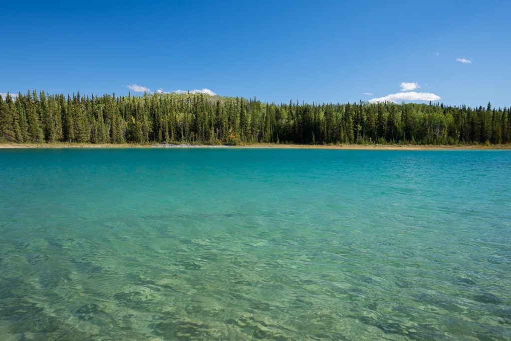
One of the must stops along the Stewart-Cassiar Highway is Tā Ch’il ā Provincial Park, formerly known as Boya Lake.
This lake is home to striking blue waters that will trick you into thinking you have taken a wrong turn and arrived in the Caribbean. This is due to the light reflecting off the marl at the bottom of the lake, which is a mixture of silt and shell fragments.
And with calm waters and many bays and islands, it makes for a perfect kayaking or paddle boarding spot! You can rent a kayak or a canoe if you do not have one. We also hear it’s one of the few northern lakes warm enough to swim in. Although we did not test this theory!
Note: British Columbia Provincial Parks are FREE to enter!
Where to stay
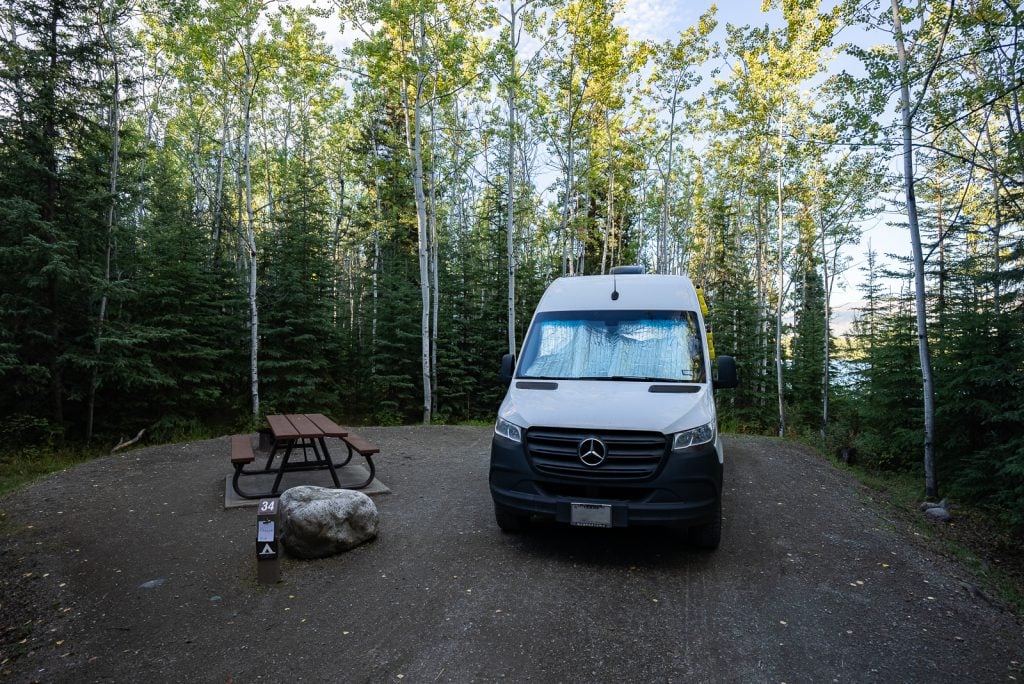
Besides the gorgeous lake, the park is also home to a nice campground. There are 44 sites total, some of which can be reserved in advance. Each site has a fire pit and picnic table, with some sites being on the water. There are also pit toilets and access to fresh water in the campsite.
We ended up booking a site in advance because we didn’t want to risk not getting one. The park wasn’t full in September, so we would’ve likely been fine waiting. Our site (#34) wasn’t on the water, but we had a small little water view through the trees and could easily walk to the water for sunrise and our morning coffee.
Tā Ch’il ā Provincial Park to Jade City (KM 85 to 121.3)
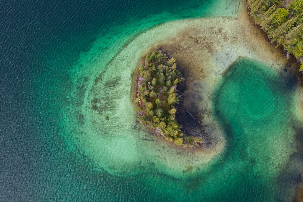
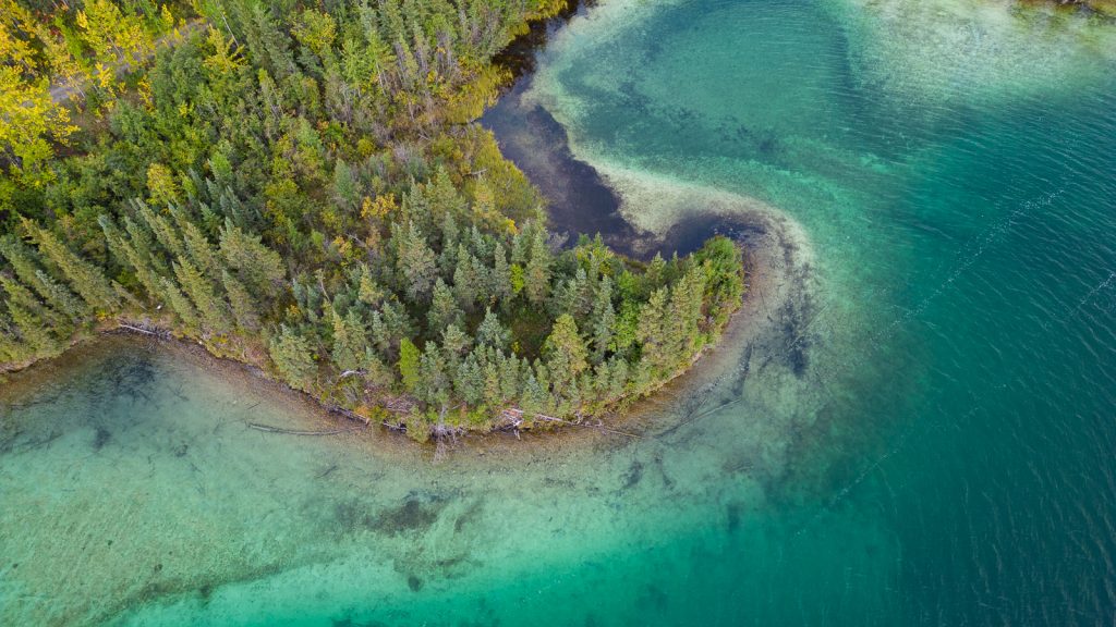
After leaving Tā Ch’il ā Provincial Park, the next stretch of the drive is gorgeous! You’ll pass more brightly blue and turquoise lakes. And unlike Boya Lake, which we could not drone due to drone laws (they aren’t allowed in Provincial Parks!), we were able to find a spot to pull over and see these gorgeous lakes from above!
Jade City (KM 121.3)
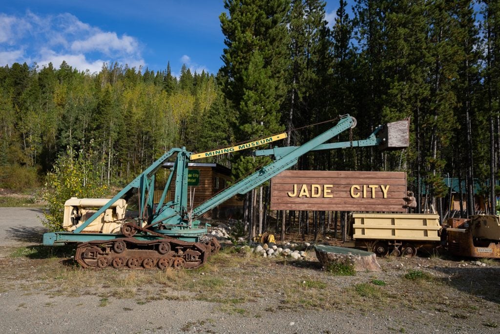
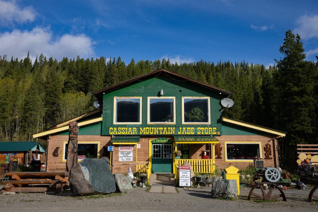
90% of the Jade in the world is from the Cassiar Mountains and along the Stewart-Cassiar Highway you can see some of it for yourself at Jade City. This is a highway community that consists of one jade business that mines jade, which is actually a term that applies to two completely different stones, nephrite and jadeite.
In Jade City you can visit a jade shop, which is actually the star of the Discovery Channel show “Jade Fever.” They have a bunch of jade outside to check out, products for sale, and if you time it right, a workshop where you can watch them carve jade. Oh and the best part? They have FREE coffee! So make sure to swing by here for a cup as you continue down the highway.
Where to stay
You can also stay overnight in the parking lot if needed!
Jade City to Dease Lake (KM 121.3 to 235.2)
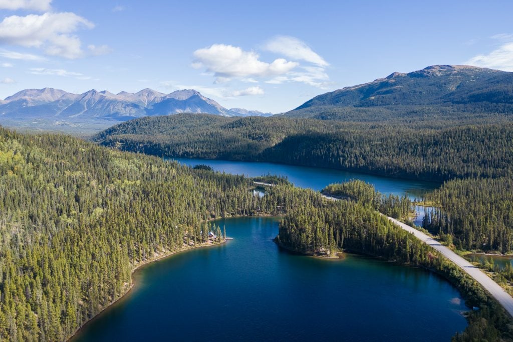
This next stretch of the Stewart-Cassiar Highway doesn’t offer any major stops, but the scenery is gorgeous! You’ll be winding past rivers and lakes, with stunning mountains all around. This is one of those areas we would’ve LOVED some pull outs to better enjoy the views.
Where to stay
Cabins + glamping
Vines and Puppies Hideaway is located close to Jade City, in a beautiful remote, natural setting.
Boondocking
Sawmill Point Recreation Site has 10 free campsites, a boat launch, and toilets.
Dease Lake (KM 235.2)
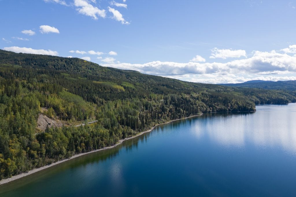
Dease Lake is a small community located at the junction with Telegraph Creek Road. It is home to a long and narrow lake that spans about 30 km (19 miles). This will be one of your first major stops for services along the highway!
Services
Fuel: Petro-Canada
Grocery store: Dease Lake Super A Foods
Where to stay
Campgrounds
Waters Edge Campground has 25 non serviced sites, 2 cabins, and 1 trailer.
Dease Lake RV Park
Tanzilla Lions Campground
Hotels
Northway Motor Inn
Arctic Divide Lodge
Boondocking
Morchuea Lake Recreation Site (50 km south of Dease Lake) has 8 sites with tables and fire rings. There is also a pit toilet and boat ramp.
Iskut (KM 317.7)
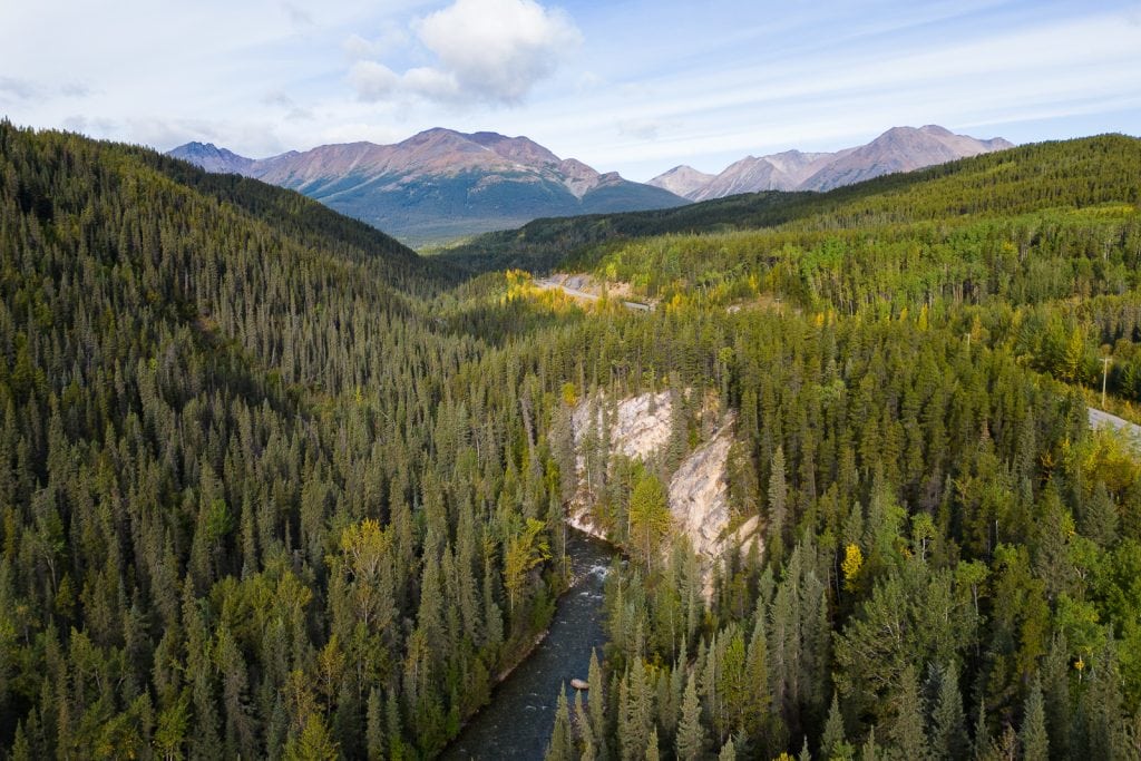
Once leaving Dease Lake you’ll travel down another remote stretch of the highway before reaching Iskut. This is a small First Nations community that offers a few services for visitors.
Services
Fuel: Kluachon Grocery Store and Cafe, Tatogga Lake Resort
Grocery stores: Kluachon Grocery Store and Cafe
Where to stay
Red Goat Lodge, which also has campsites!
Tatogga Lake Resort (~15 km south of Iskut) – they offer motel rooms and have a restaurant
Kinaskan Lake Provincial Park (KM 358.7)
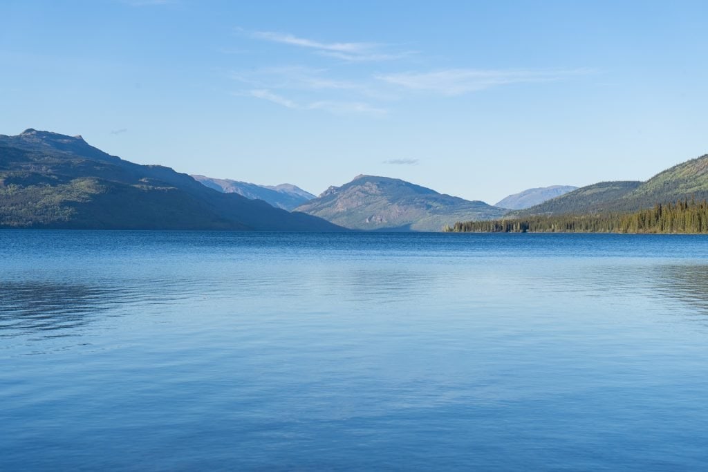
Another stop that we loved on the Stewart-Cassiar Highway was Kinaskan Lake Provincial Park. This park is located at the southern end of Kinaskan Lake and has a campground with 50 first-come first-served sites, which cost $20 CAD/night (cash only).
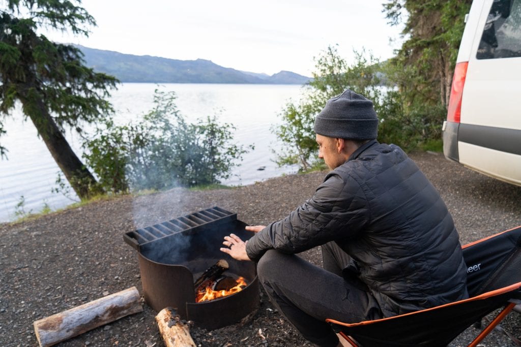
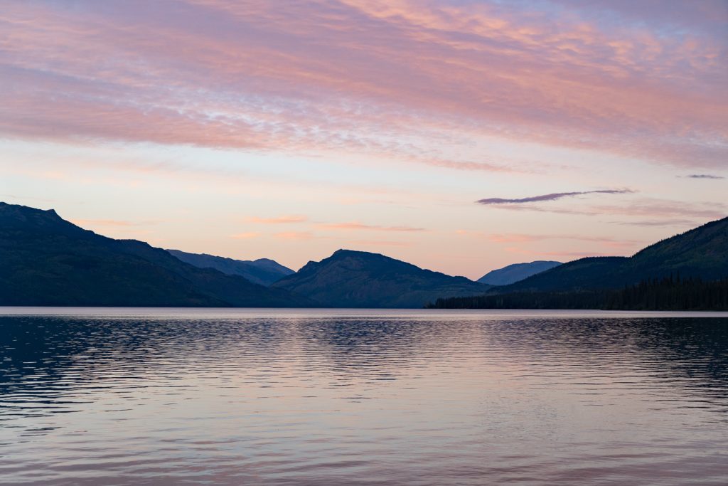
We stayed here on our second night on the Stewart-Cassiar Highway and got a site right on the water (#13)! It was a beautiful place to call home for the night. We enjoyed campfire cooking and watching the sunset over the lake.
Other things to do
Besides camping at the lake, there are a couple other things to do in the park!
Cascade Falls
Located at a pullout near the park is the trailhead for Cascade Falls, which looks like an epic waterfall. If you have a canoe or kayak you can paddle on Kinaskan Lake and there is also a paddling route.
Hit the water!
If you have your own kayak, canoe, or paddle boat, this is a great place to get out on the water. You can paddle near the camping area or paddle from Kinaskan Lake to Natadesleen Lake via the Iskut River. This is said to be for experienced paddlers and you’ll need a second car to get you back, but it looks like a lot of fun!
Bell 2 Lodge (KM 474.7)
After leaving Kinaskan Lake, there aren’t many stops or services until you reach Bell 2 Lodge. This is a lodge, plus campground, that offers a variety of amenities like an outdoor hot tub, coin laundry, showers, and a small fitness center.
For non-guests, Bell 2 Lodge has a restaurant, paid internet ($6 for 30 minutes), and a fuel station. However, if you’re doing really well on fuel, the Petro-Canada station in Meziadin Junction will likely be cheaper.
While we suggest doing the Stewart-Cassiar Highway in the summer, if you do happen to visit in the winter, Bell 2 Lodge offers heliskiing! And if you’re traveling around by propeller instead of wheels, you can also refuel your own helicopter here.
Meziadin Junction (KM 567.9)
The Meziadin Junction is where you can decide to turn off of the Stewart-Cassiar Highway onto 37A, which takes you to Stewart, BC and Hyder, Alaska. We’ll share more about what you can do on this detour below, but before turning off, there are some services you can take advantage of.
Services
Fuel: Petro-Canada
Water and Dump station: Petro-Canada ($1)
Where to stay
Campground
Meziadin Lake Park is a provincial park with 66 sites. Some are first-come, first-served and some can be reserved online. Sites cost $22 per night and $27 for a power site and it is usually open mid-May to mid-September.
Stewart-Hyder Access Road (Highway 37A)
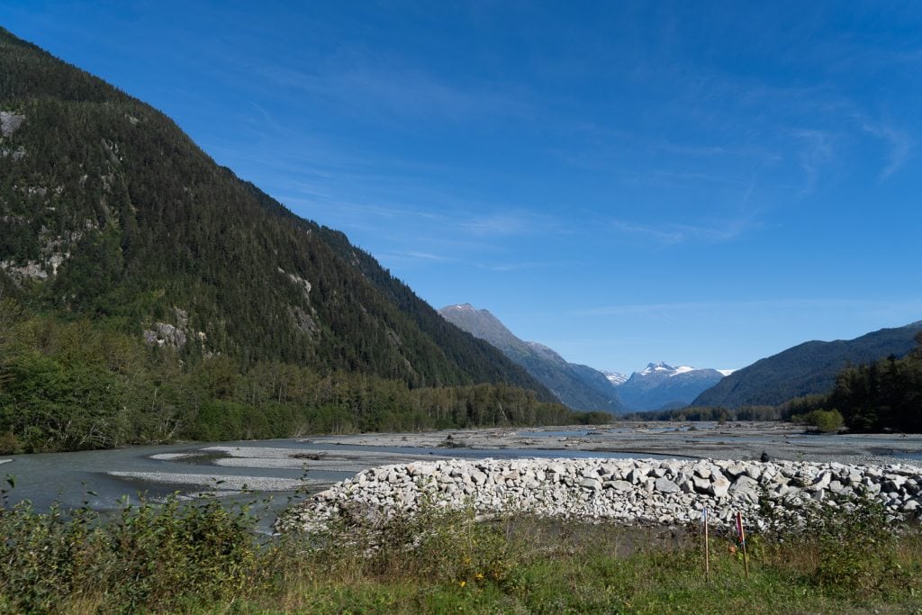
The Stewart-Hyder Access Road (Highway 37A) is a 38 mile, two lane paved road that leads west to Stewart, BC and Hyder, Alaska. These are two small communities at the head of the Portland Canal, which is a narrow 90 mile saltwater fjord that forms a natural boundary between Alaska and Canada.
This side trip is a MUST DO! It was hands down the highlight of not only our drive on the highway, but also one of the best 24 hours of our lives.
As you make your way to Stewart and Hyder you’ll drive through Bear River Canyon, Bear Creek Canyon, and the Coast Range Mountains. These mountains are snow-capped for much of the summer and you’ll see waterfalls trickling down. We also saw a mama brown bear and two cubs cross the road in front of us, which was absolutely EPIC!
Things to do
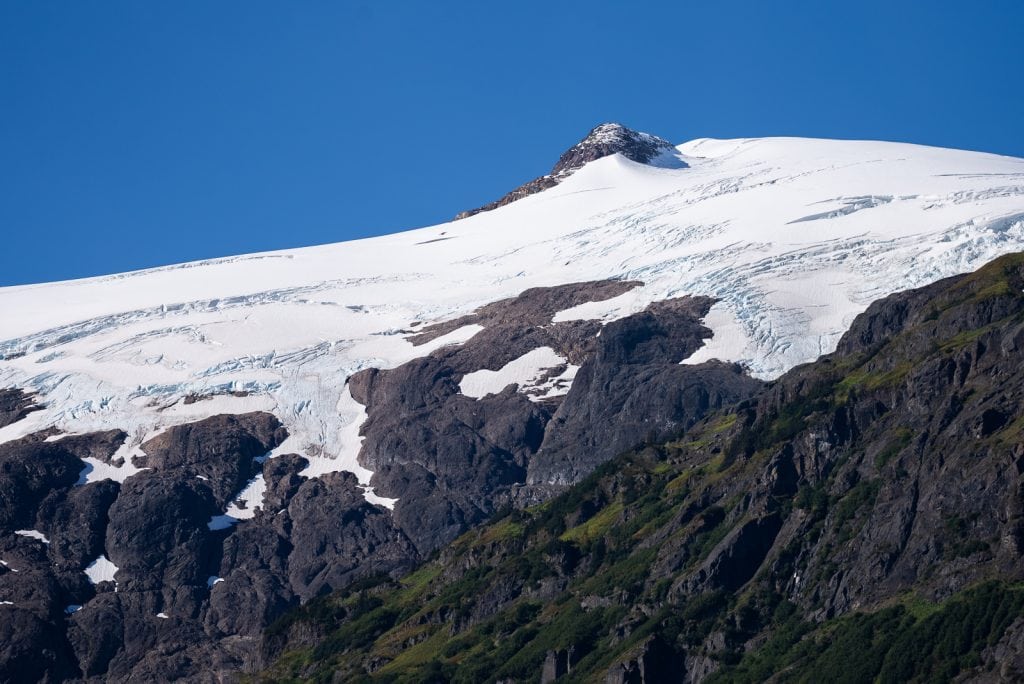
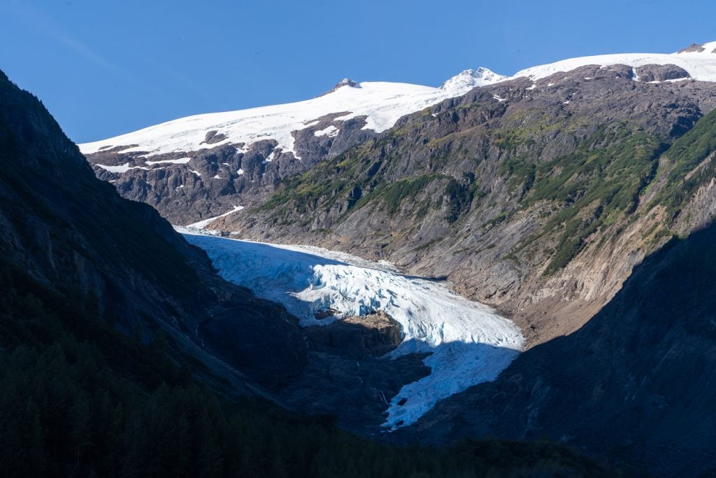
Bear Glacier Provincial Park
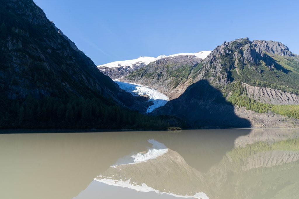
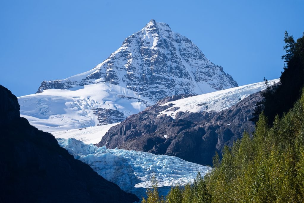
One quick stop to make along the access road is Bear Glacier. There is a huge pull out here to park and admire this glacier, which once filled the entire pass. It began to retreat in the 1940s, which created Strohn Lake below it.
Services
There are no services until you reach Stewart.
Where to stay
Campgrounds
Clements Lake Recreation Site is a small recreation site with only 5 sites. Similar to all BC recreation sites, there is no fee. It looks nice for canoeing/kayaking, camping, and swimming at its sandy beach.
Stewart, BC
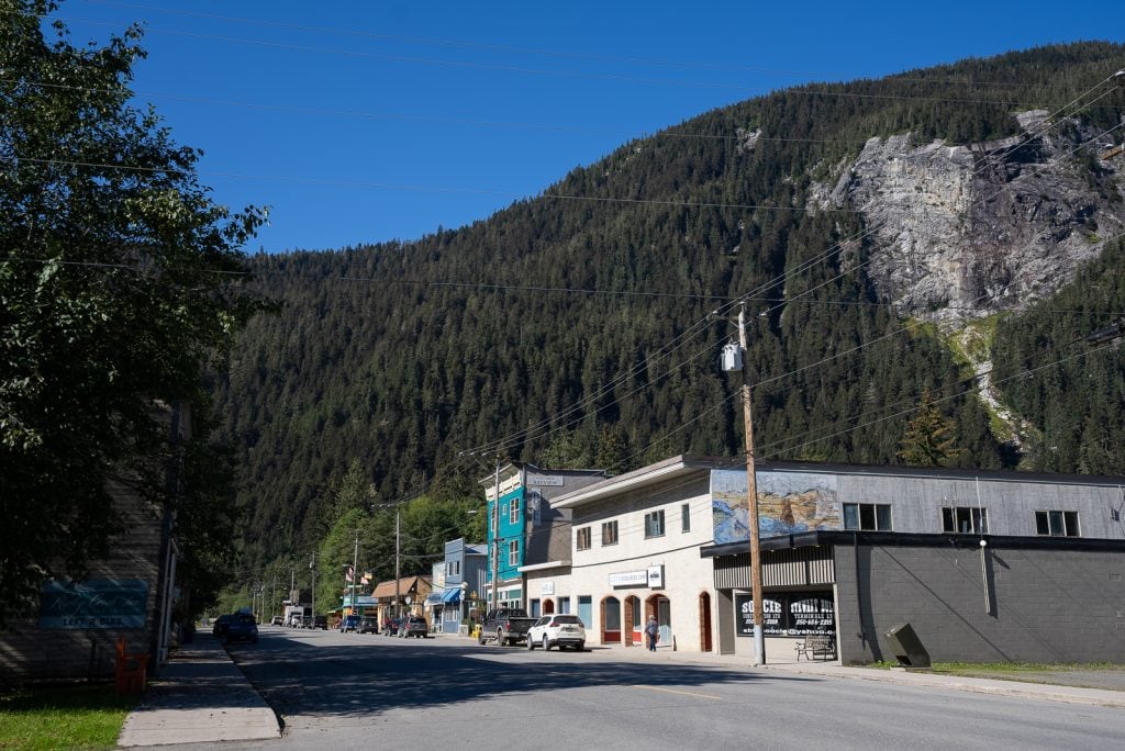
After miles and miles of driving without many towns in sight, Stewart is a great little surprise! Although a very small town, it is very charming. It has a bunch of historic buildings that make up the downtown area, all with an epic mountain and water backdrop.
This area has been long home to mining, dating back to the 1800s. Stewart was the headquarters for the Canadian mining activity and Hyder was a supply point. Even today mining activity is still ongoing. If you venture out to the Salmon Glacier (you totally should!), you’ll see lots of this activity along the way.
Things to do
Visit the Stewart Museum
If you’re interested in learning more about Stewart, BC, check out the Stewart Museum! Going on a tour would be a great rainy day activity.
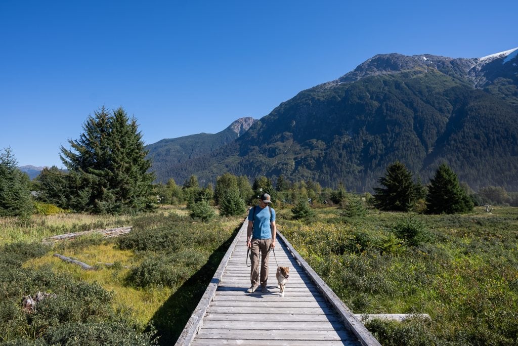
Walk the Estuary Boardwalk
We loved walking on the Estuary Boardwalk while in Stewart. This boardwalk has incredible views of the mountains and water that line the town. It’s a great spot to stretch your legs after driving or walk your pup!
Places to eat
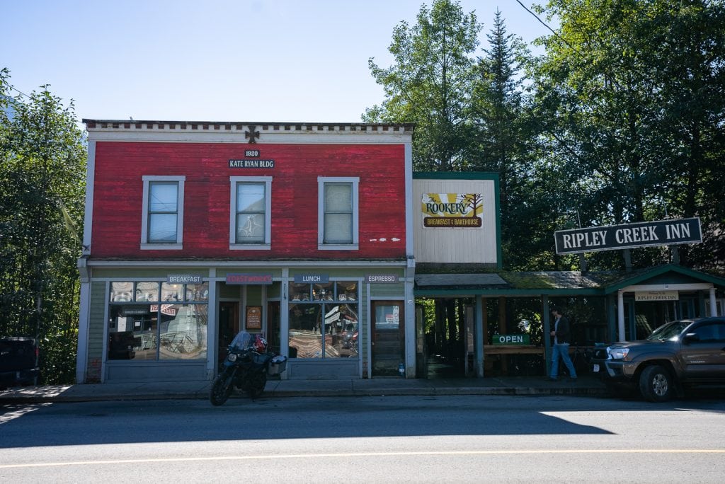
One place we really wanted to eat at in town, but ran out of time for, was El Tostador. Silverado Cafe & Pizza Bar and Trudy’s Temptation Bakery are a couple other options as well!
Services
Fuel: Petro-Canada
Grocery stores: Cut Rate Foods, Harbour Lights Grocery (more like a convenience store)
Where to stay
Campgrounds
Bear River RV Park, which has full hook up sites, laundry facility, showers, RV wash
Rainey Creek Campground
Hotels and B&Bs
Bear Valley Guest House
Bed and Breakfast House Austria
Stewart Mountain Lodge
Historic Hotel Bayview
Hyder, AK
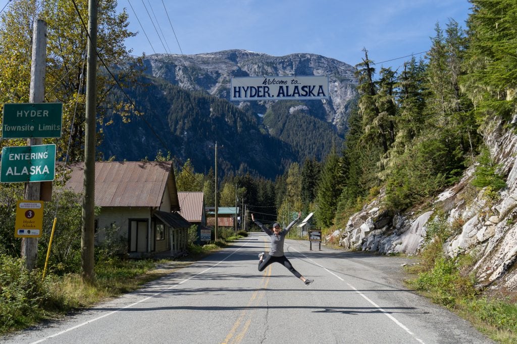
Welcome to Hyder, the Friendliest Ghost Town in Alaska! Although this super tiny town is in Alaska, it is isolated from the rest of the state and is dependent on their Canadian neighbor just across the border, Stewart. They actually unofficially use Pacific Time instead of Alaskan time, use Stewart’s area code, do their shopping in Stewart, and send their kids to school in Stewart!
To get to Hyder, you’ll just follow the road from Stewart. While there is a customs building to enter back into Canada after you leave Hyder, you do not have to go through customs when crossing into Hyder. Which is kind of crazy!
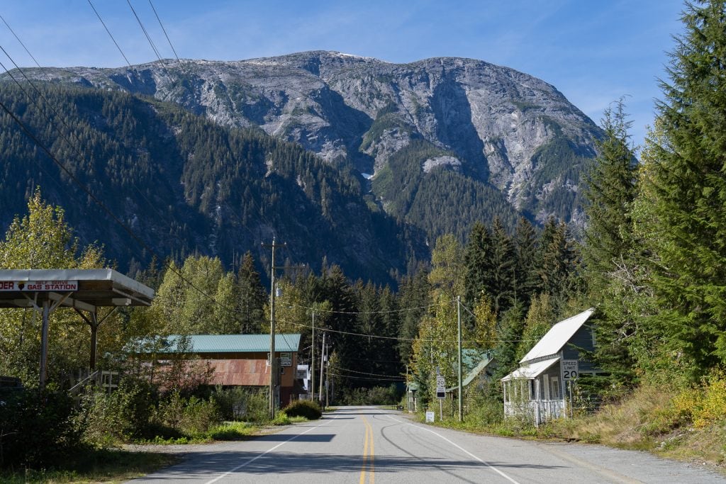
The town itself is very small, with just a handful of buildings. It feels like you’ve stepped back in time a bit! Like its nickname, it was a bit of a ghost town when we visited, with empty streets and mostly closed businesses. The most action we saw in town itself was a black bear crossing the road! But the real beauty of Hyder, besides its authenticness, is when you get a tiny bit outside of town, where bears feasting on salmon and glaciers await!
Note: While Hyder uses Pacific Time instead of Alaskan Time, your phone will still change to Alaskan time, which is 1 hour behind.
Things to do
Get Hyderized
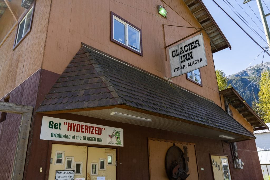
Similar to Dawson City, Yukon Territory, where you can do a Sourtoe Cocktail, in Hyder you can get Hyderized. This is when you take a shot of 150 proof everclear. Since we don’t drink, we skipped this tradition. But if you want to give it a shot, head to the Glacier Inn, which is known for having at least $20,000 worth of $1 bills on the walls, a pretty cool thing to see in itself!
Caroline’s Boundary Gallery & Gifts
As we mentioned, not much was open when we were in Hyder. But thankfully the best spot in town was…Caroline’s Boundary Gallery & Gifts! This shop has some insanely delicious fudge that they claim is internationally famous. As they say “the fudge is as fresh as the ladies who make it!”
They have a variety of flavors all made in house. We tried a few different flavors and they were all easily the best fudge we have ever had. And the woman selling the fudge (not sure if it is Caroline or not) is a hoot as well! She has all kinds of stories she can share!
Fish Creek Wildlife Observation Site
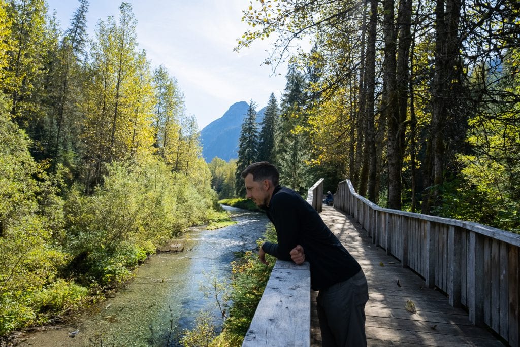
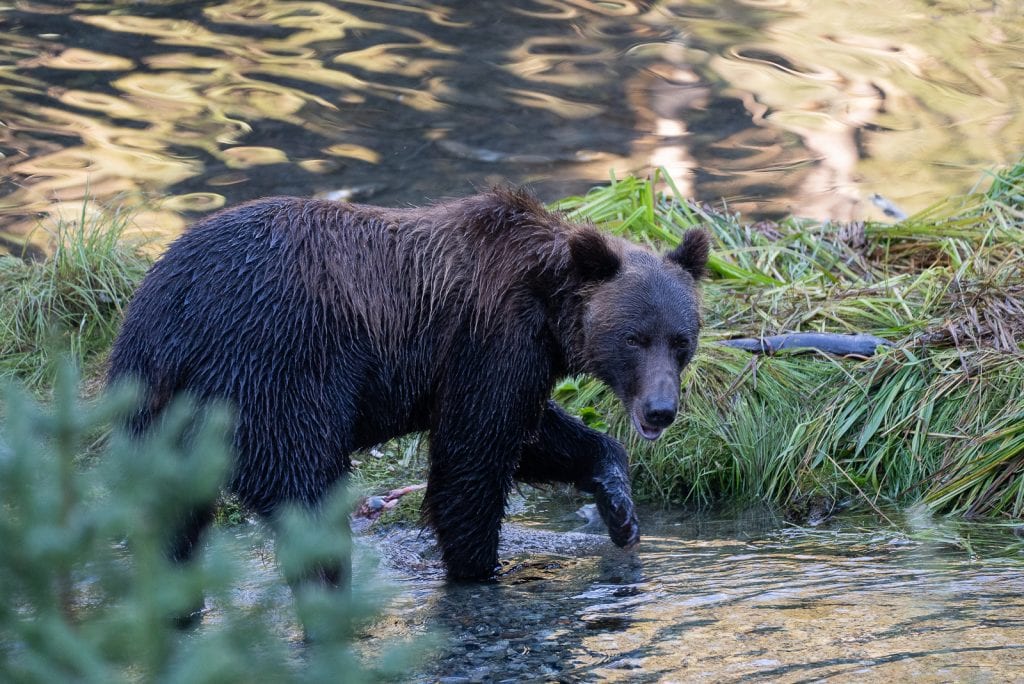
One thing that’s been HIGH on our bucket list in Alaska is Katmai National Park, which is famous for Brooks Falls, a waterfall where you can watch many bears catching salmon. However, it requires a small plane to get to and costs about $1,000 per person for a day trip, which was a bit out of our budget. So we were very excited to hear that they have a cheap Katmai-esque experience in Hyder at the Fish Creek Wildlife Observation Site.
This is the only bear viewing area that is reachable by car in Alaska and from mid-July to early-September you have a chance of seeing bears catching salmon here. It only costs $10 per person to visit for the day and you do have to get your pass online in advance.
The cost is obviously a HUGE advantage over Katmai, but the downside is that the bears can be way less predictable. The best time of day to view the bears is early mornings and evenings and what’s nice is that the rangers have a sign with recent bear sightings, which can give you an idea of what times they have shown up recently.
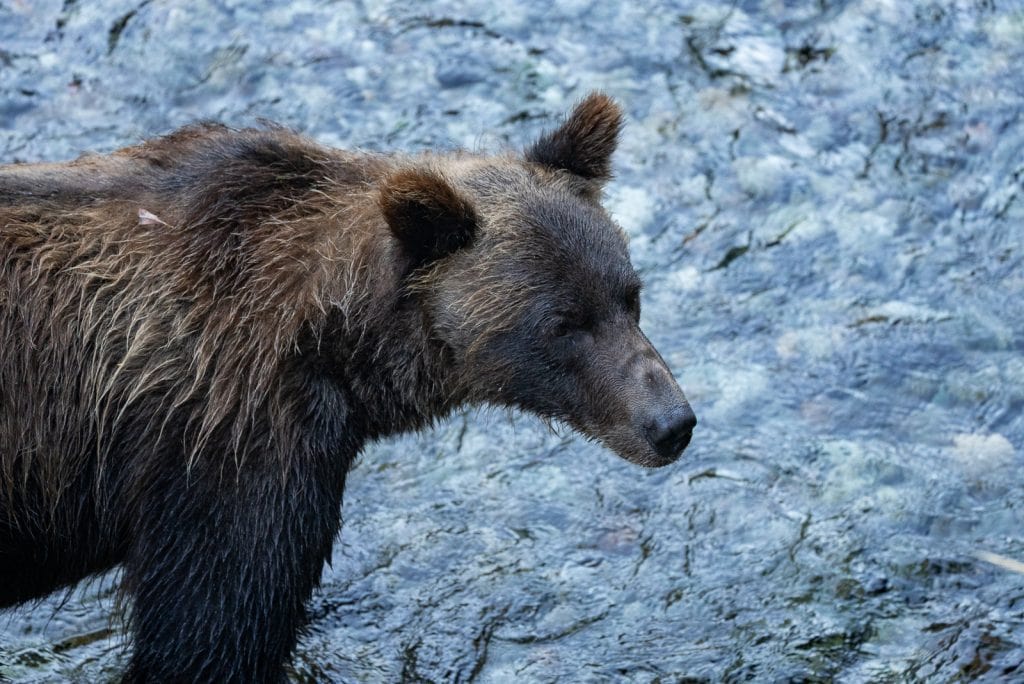
During our visit in early September (the end of the season), the bear sightings had dwindled a bit, but they were still seeing at least one a day. We first visited in the late afternoon and had no luck. But we didn’t give up! We returned the next morning and after over an hour of waiting, Runner, a 4 year old brown bear showed up. Named after his love of running in the water, we got to watch him run around and catch salmon for an hour.
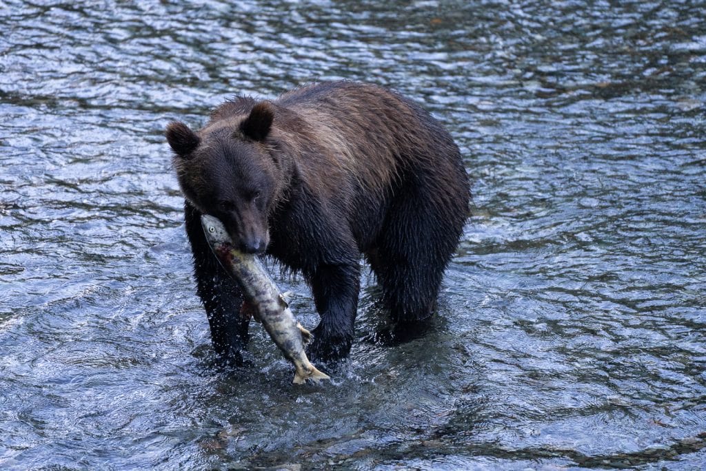
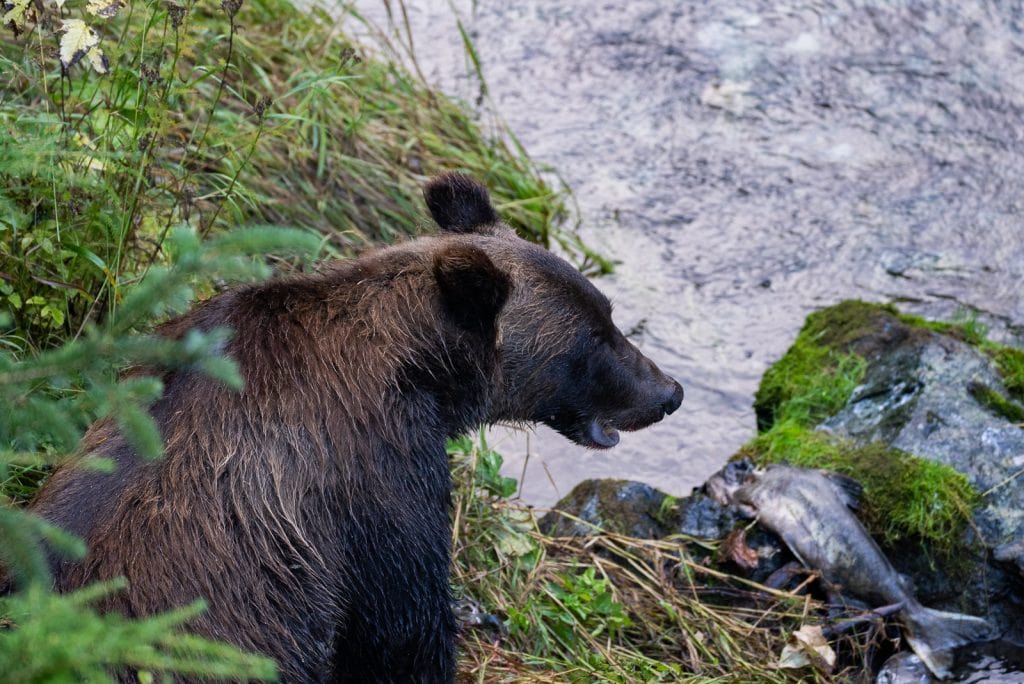
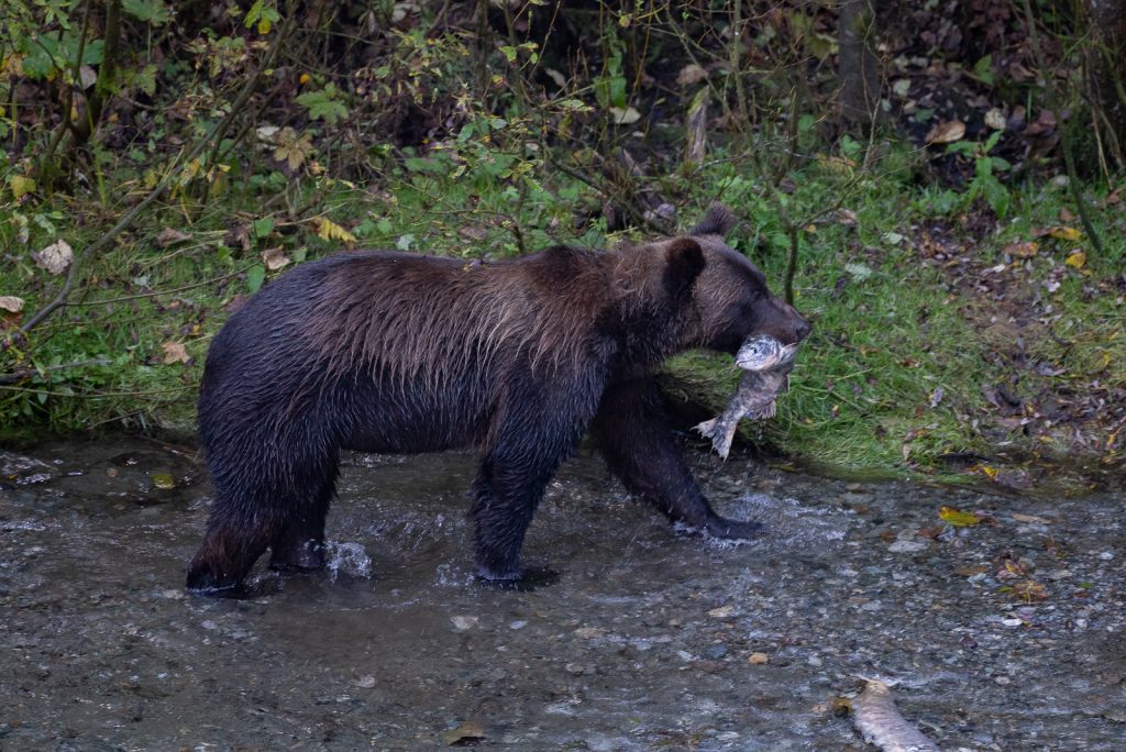
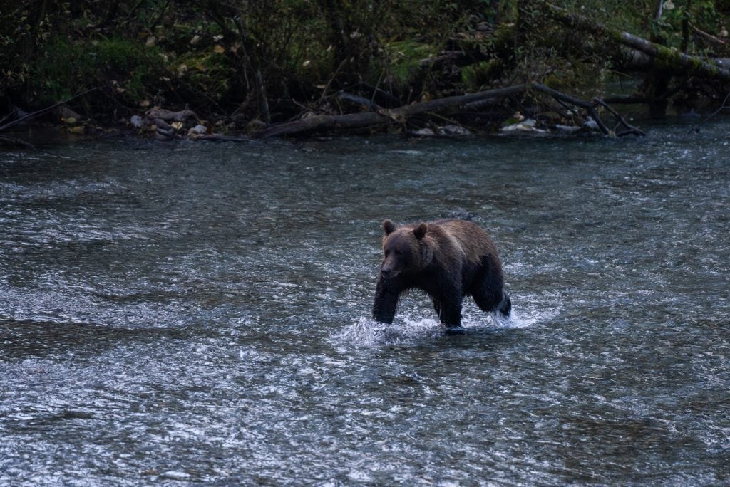
Getting to witness a wild bear out in nature was truly a highlight of our entire lives. Normally we see bears from the car, which happens so quickly and you typically don’t have time to enjoy it. But here, we were able to admire this majestic bear and watch him search around for fish, be selective on his catch, and munch away. It was like National Geographic!
And if you’re worried about safety, you have to stay on boardwalks during your time at the observation site and there are specific rules to follow. One of which being that pets are not allowed and you cannot cook in the parking lot or bring food to the boardwalks. There are always rangers there to ensure people follow rules and they are prepped with bear spray in case it is needed.
Salmon Glacier

Another absolute must-do when in Hyder is driving to the Salmon Glacier, the 5th largest glacier in Canada. Although it is in Canada, it’s only accessible through Hyder and you would never even know you crossed a border to get to it.
To get to the Salmon Glacier, follow the main road through Hyder past the Fish Creek Wildlife Observation Site. The road is paved for about 4.5 miles (just after the Fish Creek Site), but after that it gets a bit rough.
It is steep, narrow, and winding, with lots of washboarded sections and potholes.We found it to be a lot worse than the infamous Dempster Highway. While you don’t need 4×4, high clearance is recommended. Don’t let the road conditions stop you though. Just take it slow!
Once at the glacier you can admire it from a viewpoint right off the road. The views from up here are insane! The glacier is massive and the mountains that surround it are breathtaking as well. While stopping by to see the view is great, what’s even better is sleeping by it! We boondocked at a pullout for the night, overlooking the glacier, and it was the best place we have ever slept!


Places to eat
One place we really wanted to eat at in Hyder was The Bus. This used to be a restaurant located in a bus, but is now in a cabin. And we hear they serve some amazing fish and chips! Unfortunately it was closed during our visit, but hopefully you’ll be able to check them out. It is cash only, but they take US or Canadian dollars.
The Glacier Inn, where you can get hyderized, is another spot to grab food as well!
Services
You won’t find any services in Hyder, but you can find some in Stewart, just minutes away!
Where to stay
There is only one place to stay in Hyder, which is Camp Run-A-Muck. They offer sites with power and water, plus Wi-Fi via Starlink!
Meziadin Junction (KM 567.9)
Once leaving Hyder, you’ll go through customs to cross back into Canada. Our customs agent was easily the nicest we have ever had and the process was super simple. From here, you’ll continue east towards Meziadin Junction, where you’ll join the Stewart-Cassiar Highway again.
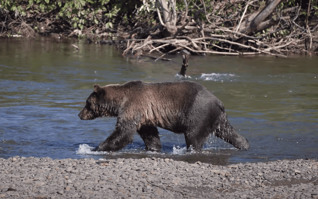
Shortly after getting back on the Stewart-Cassiar Highway and going through Meziadin Junction we saw another bear!
We noticed a bunch of people pulled over and looking off into some water, with binoculars and zoom lenses. The classic sign of a wildlife sighting! And to our happy surprise, it was another brown bear, fishing for salmon! Getting to see this was the cherry on top of an already phenomenal 24 hours.
Gitanyow (KM 702)
As you continue south along the Stewart-Cassiar Highway the next community you’ll reach is Gitanyow, a small First Nations community.
Fun fact: this town has one of the largest concentrations of standing totem poles in northwestern British Columbia. And you can view them at the Gitanyow Totem Poles and Kitwankul National Historic Site!
You can also fuel up here at the Gitanyow Gas Bar.
Kitwanga (KM 719.4)
Kitwanga is the southernmost community on the Stewart-Cassiar Highway, which means your amazing journey is coming to an end (or just beginning if you’re going north). This town offers a handful of services, plus a quick stop that is worth a visit.
Things to do
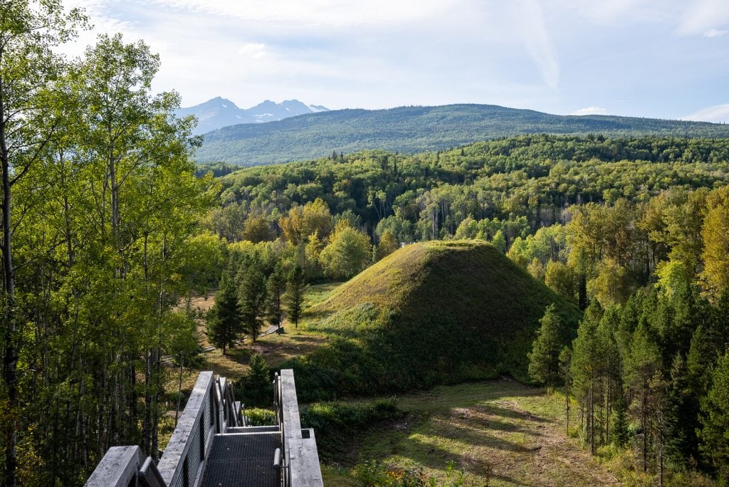
Gitwangak Battle Hill National Historic Site
The Gitwangak Battle Hill National Historic Site is where a fierce First Nation battle took place two centuries ago. The battle resulted in the destruction of the Gitwangak fort and cedar dwellings that once stood to protect the Gitksan people, their fishing sites, and the active trade routes in the region.
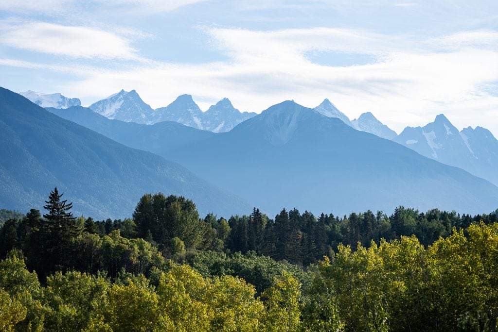
It is now a historic site with an overlook of the area, plus some informative signs about the history. We really loved stopping here!
Services
Fuel: Petro-Canada
Grocery store: Kitwanga General Store
Water and dump station: Cassiar RV Park
Laundry: Cassiar RV Park
Where to stay
Campgrounds
Kitwanga River RV Campground, which is donation based and managed by volunteers
Cassiar RV Park
Junction with Yellowhead Highway (KM 723.7)
Right after passing Kitwanga you’ll reach the junction with the Yellowhead Highway (Highway 16). From here you’ll continue east on the Yellowhead Highway if you’re returning to the lower 48 or you could continue west to Prince Rupert if you fancy!
The Yellowhead Highway is another beautiful highway that takes you through beautiful mountains and different towns in British Columbia. However, it’s important to know some of its sad history. The stretch of the highway from Prince George to Prince Rupert is nicknamed the Highway of Tears.
This is because there have been many missing and murdered Indigenous women, as well as some non indigenous women, along the highway. From what we understand, due to the remoteness of the area and lack of public transportation, women would hitchhike to get around. And unfortunately many have gone missing or been murdered, with the cases being unsolved.
We don’t say this to scare anyone, but to hopefully bring awareness to the tragedies that the indigenous community in this area has faced. We personally felt safe on the highway and really enjoyed our time on it.
Looking for things to do on the Yellowhead Highway?
You will have to drive the Yellowhead Highway to get to the southern end of the Stewart-Cassiar Highway. And while some may rush through here, we suggest giving yourself a day or two to enjoy it! We found some serious gems out here that were the perfect finale to our time driving the Stewart-Cassiar Highway.
Witset Canyon
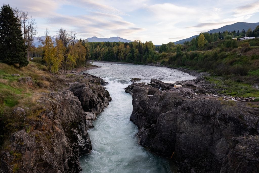
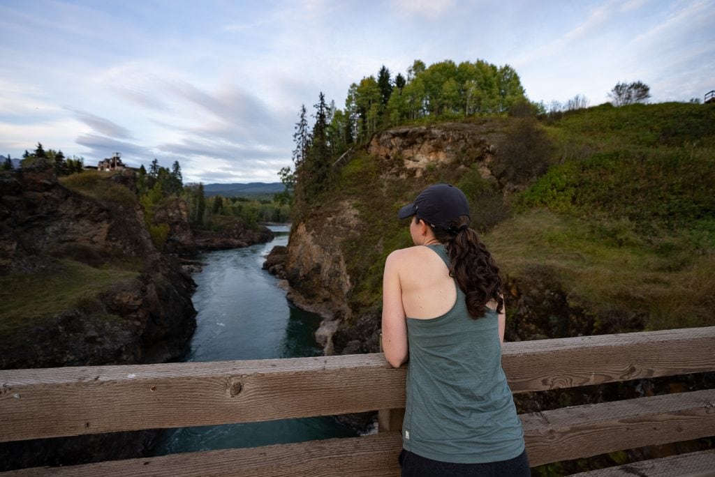
Witset Canyon is located along the Bulkley River on the land of Wet’suwet’en First Nation. This canyon is an integral part of their life here, as many locals fish here for salmon. If you time it right, you’ll be able to see fishing. But even if you don’t, it’s a beautiful, quick stop.
Visit Smithers, BC
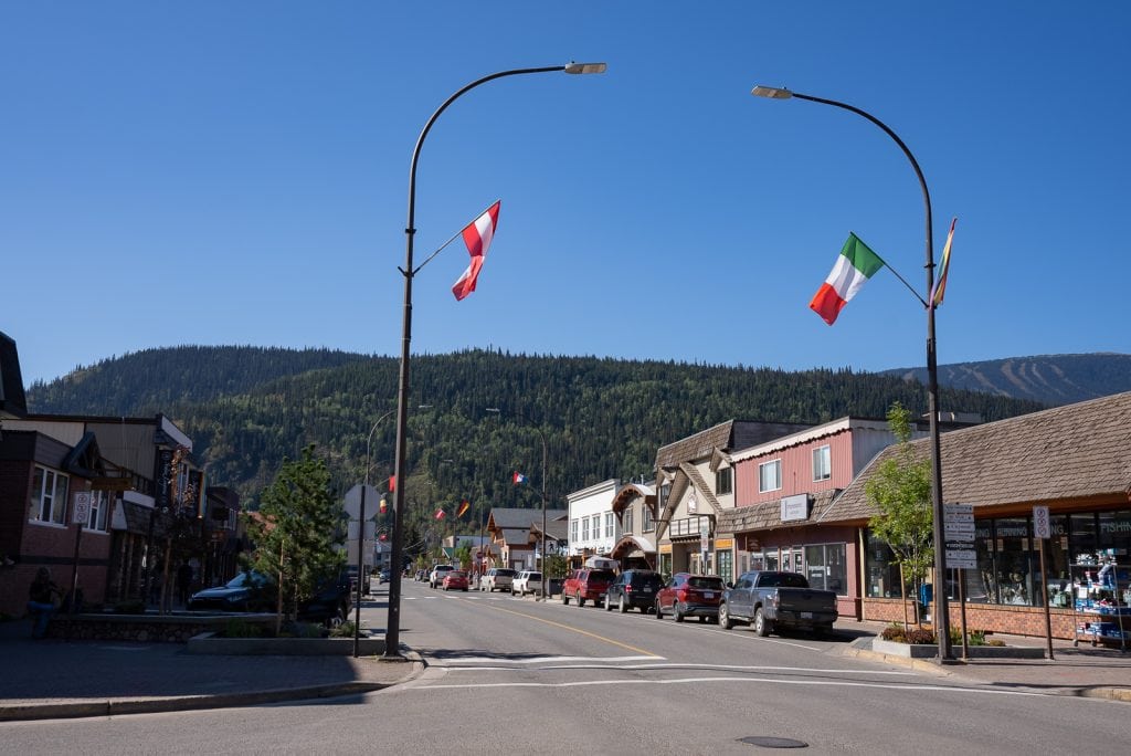
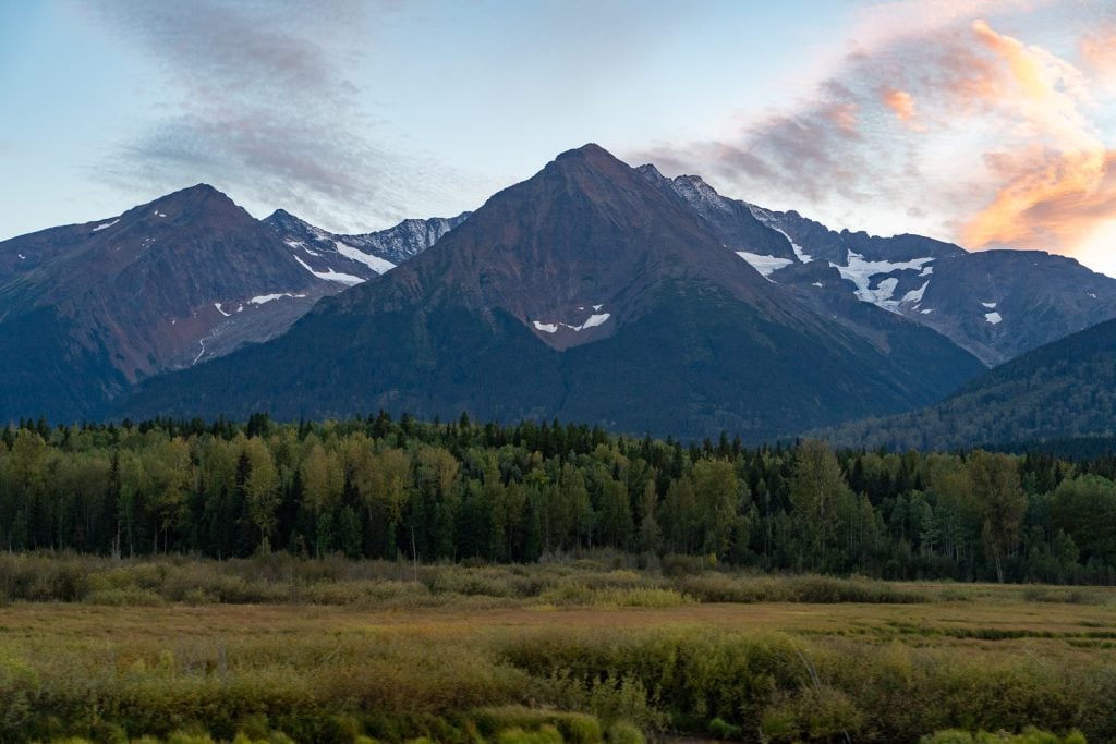
Smithers is an outdoorsy town in the Bulkley Valley, with mountains, rivers, and lakes nearby. It is known for its winter sports in the colder months and fishing and great hikes in the summer. Here are some of the things we loved in town!
- Wandering around its Alpine themed streets! Make sure to go see Alpine Al, a wooden sculpture playing the alphorn. He is the mascot of the town!
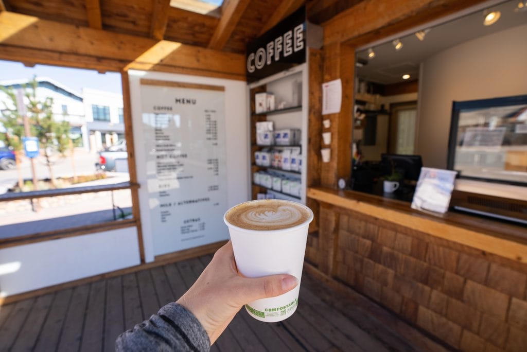
- Coffee at Bugwood Coffee, which is the cutest coffee stand right in town, with outdoor seating. Their Pumpkin Spice Latte ROCKED!
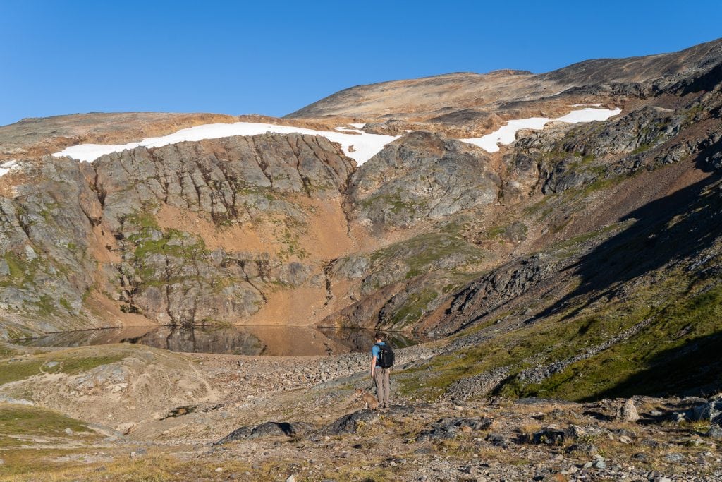
- Hiking the Crater Lake Trail. There are so many hikes to choose from in the area, but we picked this one because it was relatively short. And we loved it!
Prince George, BC
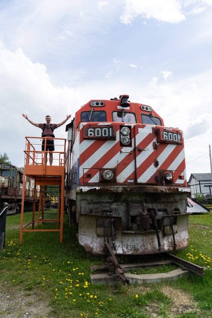
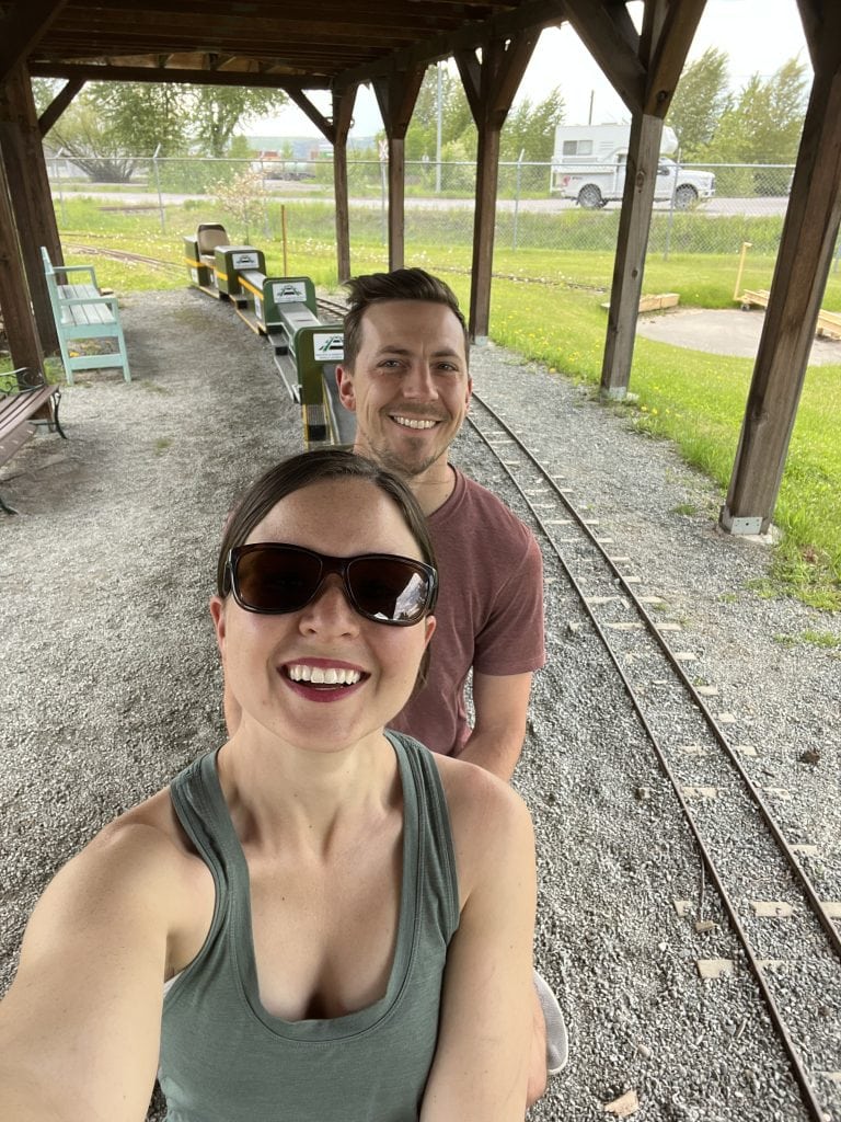
Prince George is as far as we went on the Yellowhead Highway. During our stop here on our way to the Alaska Highway we enjoyed a fun couple hours at the Central BC Railway and Forestry Museum and grabbed poutine at Nancy O’s!
Our Exact Stewart-Cassiar Highway Itinerary
Below is our exact Stewart-Cassiar Highway itinerary, with the kilometers driven for each day noted, which we hope is a good starting point to hopefully help you figure out how to organize your days driving the Stewart-Cassiar Highway.
- Day 1 (87.2 km): We began the Stewart-Cassiar Highway and camped at Tā Ch’il ā Provincial Park.
- Day 2 (283 km): We stopped at Jade City and camped at Kinaskan Lake Provincial Park.
- Day 3 (301 km): We drove the Stewart/Hyder access road, made a stop at Bear Glacier, checked out the Fish Creek Wildlife Observation Site, the made the drive out to the Salmon Glacier.
- Day 4 (368 km): After waking up with a view of Salmon Glacier we drove back to the Fish Creek Wildlife Observation Site and got super lucky to see a bear! We crossed back into Canada and drove all the way to Kitwanga with a stop at the Gitwangak Battle Hill National Historic Site. We then finished the remaining miles and continued onto the Yellowhead Highway, where we stayed in Smithers for the night.
Ready to tackle the Stewart-Cassiar Highway?
Pin this guide to driving the Stewart-Cassiar Highway to help you plan!